


All horse trails in the United States


Ready to explore the best equestrian trails near you? Equilab offers thousands of riding routes for scenic strolls, endurance training, and more. Discover verified trail maps to find the perfect path for your next adventure, and then track your ride – all using the world's best horse riding app.
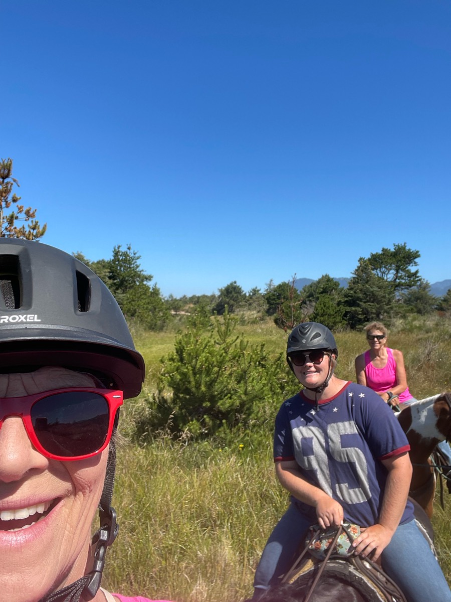
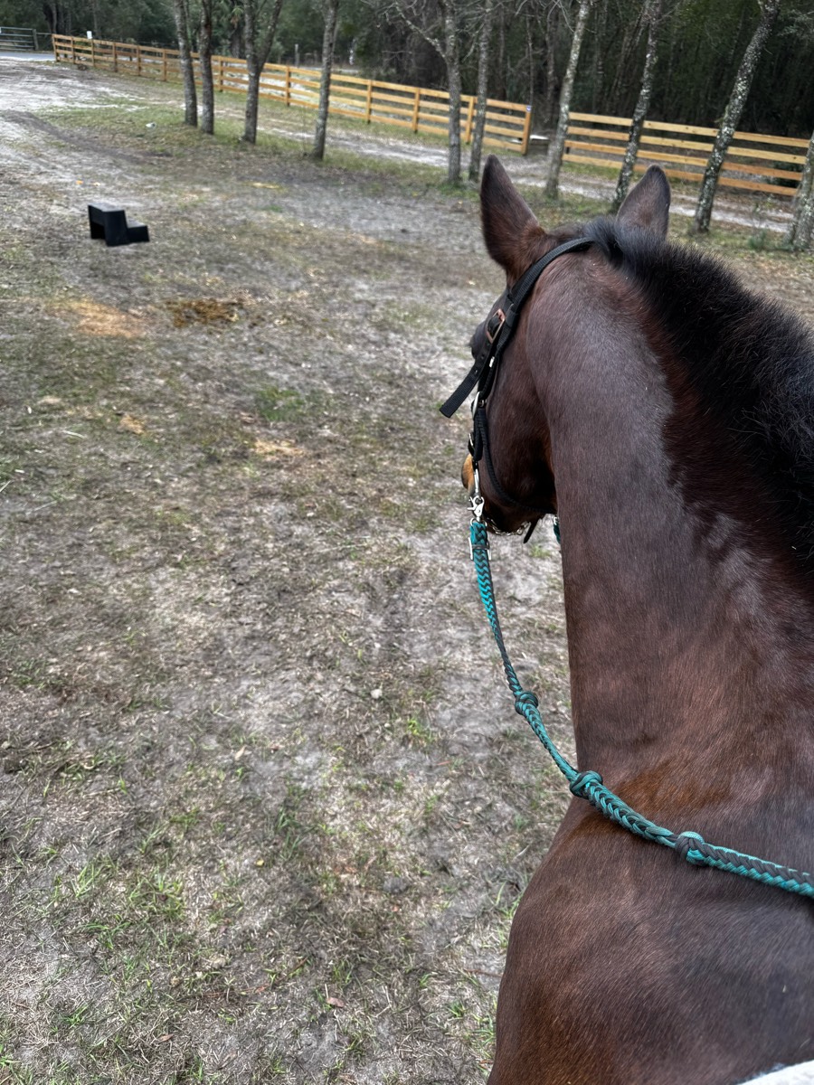
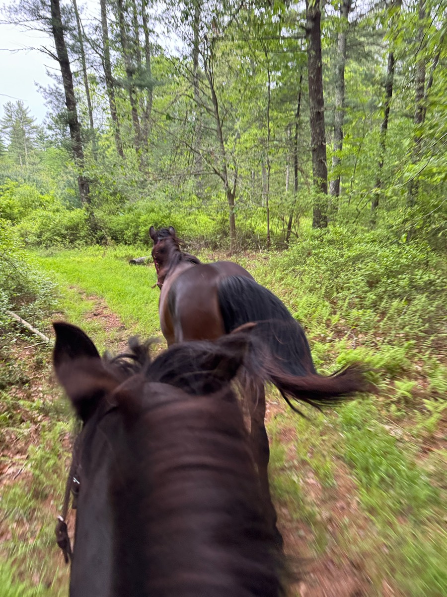
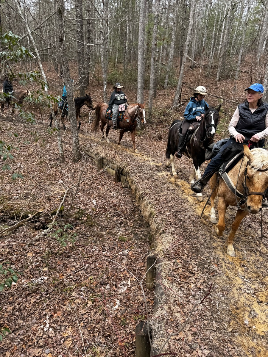
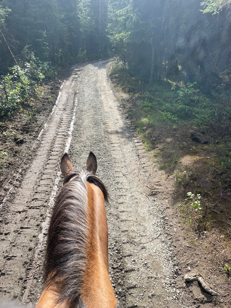
Most popular trails


This adds a couple miles onto the river trail no
Riding sidewalk and trails
Beginning of trail is private land, so start on Eden Highway. Mix of highway, paved, and gravel road.

Short 45 min ride w Sherrie
Perfecttt and river front show
Perfect trails and weather.
Homebound-Cow Trail-Fletcher loop


Waterfall ride to dry river bed.

Sandy exposed areas, with some shade.
Half the ride.
Pawnee Morel hunting
Northern Kettle Morraine 14 mi novice trail

Moderate. Good footing. Lots of hills.
Sand & water

Trail is mostly east to moderate with a couple steep areas.

Single track no trail and 2 track

Karen and Dulcie
Beautiful one hard steep trail 24

Behind house
River trail till downed trees by 7 mile.

Combination of multiple trails equaling about 6.5 out and back. Shaped kinda like a lollipop.
roller coaster mitchels meadow

One track and two track front with Rio. Behind Tico. At the very back behind horse and ponied horse. Bastrop TX
Watson Mill: Green - Orange - Green - Blue - Gray - Brown - Green
The truck was over all sorts of different areas. Super fun recommend
Easter Field public arena

Had to go through town at upper portion of Alum Creek north trail and ride along road

Hadley Hills
Out the back lane, main trail across power lines to wooded trail, up hill across power lines and down trail to pick up main trail to back lane.
good long hilly roads then pick through paths through the woods to get to the next road


Beautiful and secluded
Easy trail for barefoot.
This is a nice trail and it's funny!
Correct distance is 7mi. I forgot to turn on track.

Easy trail to walk, nice stopping point for lunch at the pond
Some wet spots, rocky spots, creek crossings
State forest to Olsen rd by horse farm to minor rd loop

Morning trail ride
This app deleted 4/10 of a mile from when it downloaded!
Lebanon Hills Regional Trail
There is a flat pine/palmetto forest called Pine Island, a hardwood forest called the wide (with natural water and a creek to cross), there is the badlands which has mostly hard packed sand trails and hills
Old train trail. Flat, straight, rocky in areas. Shared trail will runners and bicyclists.
This is white sands cut in half,

Wide trails some rocks some climbs fairly easy trails only open to horses on weekdays must pre register.


Kettle moraine southern unit

A forest trail, 7 miles in total length. Fairly large parking lot, which can comfortably fit multiple large trailers, but it isn’t marked specifically for trailers. Multiple hills, a few fairly steep. Some portions can be soggy depending on rainfall. Shared with bikers and hikers
Avoid the narrow section early in the trail! Don't go opposite direction - the big hill is too Rocky to go down.
Ruth Arcand trails. There’s an outer loop and an inner loop

Long flat trail that was very nice and quiet to go on. Park at the old corrals on the right, if you get to the "y" in the road you have gone too far. Take the first trail to the right or take the next trail to right.
Ring work then ride up the rutters and home

All trails in the United States
Ready to explore the best equestrian trails in the United States? Equilab offers thousands of riding routes for scenic strolls, endurance training, and more. Discover verified trail maps to find the perfect path for your next adventure, and then track your ride – all using the world's best horse riding app.
FAQ about Equilab trails
You can explore these trails and many more within the Equilab app! Simply download the app onto your mobile device, create an account, and then head to the “Track” tab. There you can view thousands of trails to discover and ride.
No, Equilab empowers equestrians everywhere to discover and ride trails for free! By creating an account within the app (no payment needed), you will be able to see and ride all public trails. Our Premium subscription offers great additional features, which you can learn more about here.
You can control the visibility of any trails you create using Equilab by selecting different privacy options when saving the trails. If you choose to make a trail "Public", it will be visible here on our website and to anyone using the app. Private trails, on the other hand, are only visible to you and (if you're a Premium user) anyone you share them with. Note: If you rode on private property, we strongly recommend saving your trail as "Private".
Equilab’s list of trails currently only includes those that have been tracked by riders using the Equilab app. As a result, there are still many trails not yet included in our platform. Anyone can track trails and add them for free, however — giving you the chance to help others discover new places to ride!
Yes! You can add a trail from any ride you track using the Equilab app. To so, simply download the app, create an account, then record your ride on the trial.
Note that to create a trail, the ride must be at least 0.6 miles long, have taken at least 5 minutes, and must not have been tracked within an arena.
Our community members have added more than 35,000 public trails, and new ones are added every day. We hope you enjoy exploring them!

Contact our team
Feedback & Help
support@equilabapp.com
Press and Partnerships
marketing@equilabapp.com
Business Inquiries
admin@equilabapp.com


