


All horse trails in the United States


Ready to explore the best equestrian trails near you? Equilab offers thousands of riding routes for scenic strolls, endurance training, and more. Discover verified trail maps to find the perfect path for your next adventure, and then track your ride – all using the world's best horse riding app.
Most popular trails


Wide with some slopes and 3 water crossings

Dawson Butte state park

Nice easy trail but avoid going on the weekends because the park gets crowded, during the week it’s fairly quiet
Starting on purple/wht
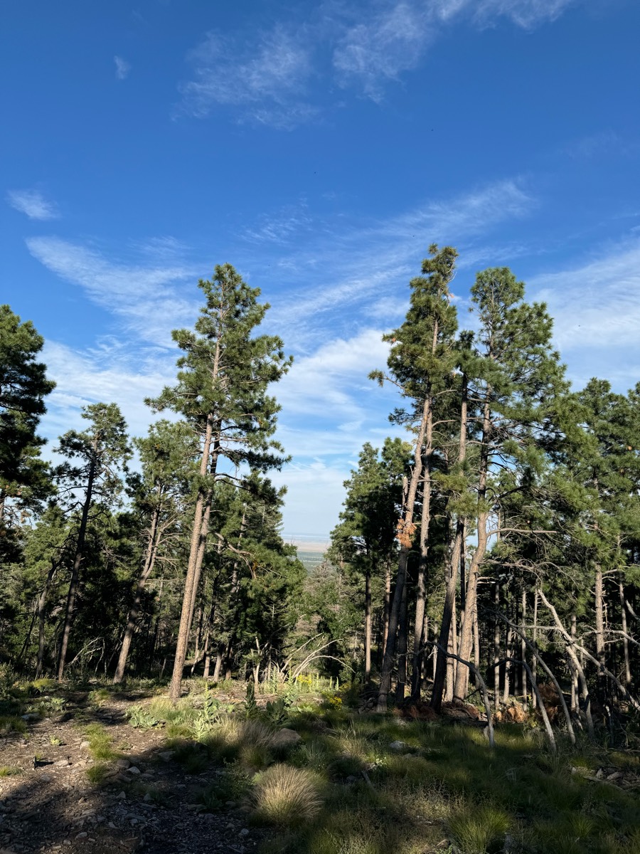
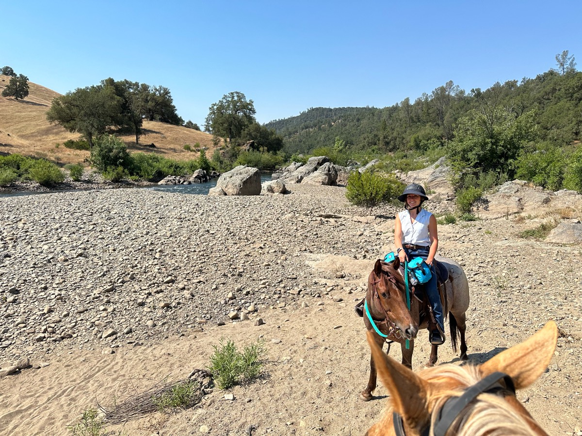
Arizona land trust


Woods, fields, dirt tanks. and seasonal wetlands
Lots of climbing down and up Barbecue Terrace, and the Secret trail over to Wall Point is single track, but the views before climbing back down toward home is just breathtaking!
Ocotillo to Javelina Pass to Sidewinder to Ridgeback to Ocotillo to Apache Wash Loop

Walking trail through woods.
Flat with a few elevations, primarily dirt through the woods, with some road. Must cross bridge with cars.
Rocky af but a nice dirt road to race on. Lots of flat tires though
Muddy areas were dry today. This was an easy route that avoided big hills, the back trail bridges, and potentially “dangerous” narrow spot along the river. Appears that the park may be planning to put new trail markers out as colored plastic streamers were placed at intervals.

Elkins creek main loop with overlook and furnace

Muddy and snowy Feb 12
Public horse trail system

Horse friendly trail. Good parking with a state park fee in summertime. You need to crosover a significant bridge and cross a busy road to get there from Bradley Palmer which is why I put a “moderate” rating. The trail itself is very easy if your horse can do bridges and roads
Abuts road at some points, traffic visible through trees. Crosses edge of Archery range at pond.
2 loops. Barefoot safe

Cross country trail, some road riding. State trust Land permit needed.
Tryon International Equestrian Center XCountry + Surplus trail


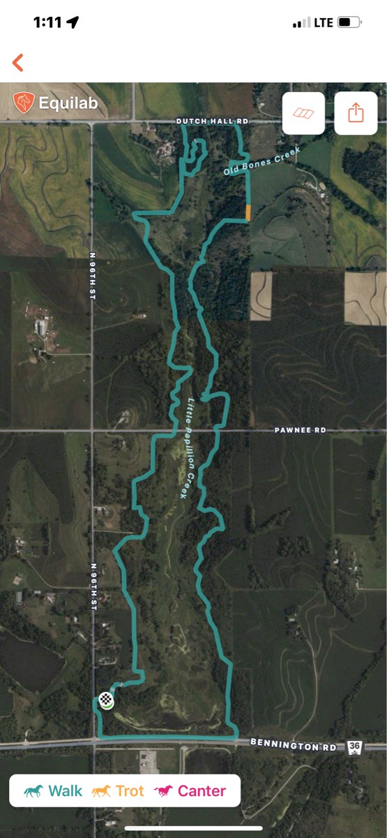
Connected both loops via happy hollow rd/river to river

Simple loop around camp grounds
Mostly walk some spots for trottingÔøº
Back dirt roads, brushy wash, one gate
Wet and muddy. 2 Big puddles!

Scoot boots needed, some single track then wider trail - we stopped before the very steep climb to top. Have done that before and it keeps going for quite a while. Also, mosquitoes are BAD at Appleatchee, fly spray you and horse!

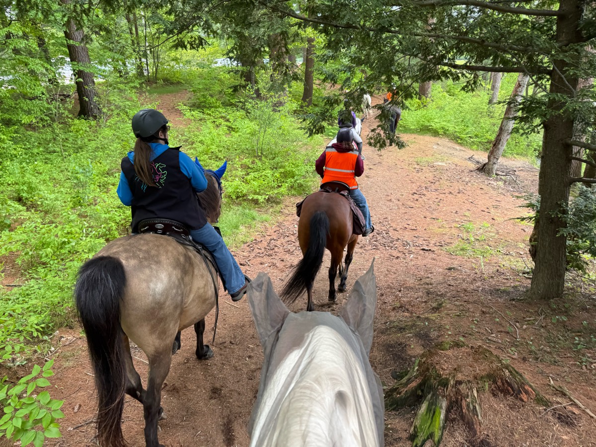
Mix of single track and wider trails. Lots of water, and bridges.
Mixture of hills, small stones, grassy trails
Walking/biking trail
Snake River trail partially shaded good water access
Left at the trail head
Road,trail,road,home.
Easy beautiful trail
Amazing, grass arena, and beautiful trails in the open fields and through the woods!
Seahorse Acres beach ride
Ignore the deer trail that dead ends; gun range at start. Usually quiet and not busy but not all the time. Trick loops help horses anxious to go back to trailer :)
Cool trail just missin the River view spot

Rocky at the beginning, then muddy
Finn Hall to Sieber Creek & Discovery Trail

Off mountain hwy, locked gate at the trailer parking entrance that is just north of the main pack Forrest entrance. You have to register with pack Forrest to get the combination for the lock
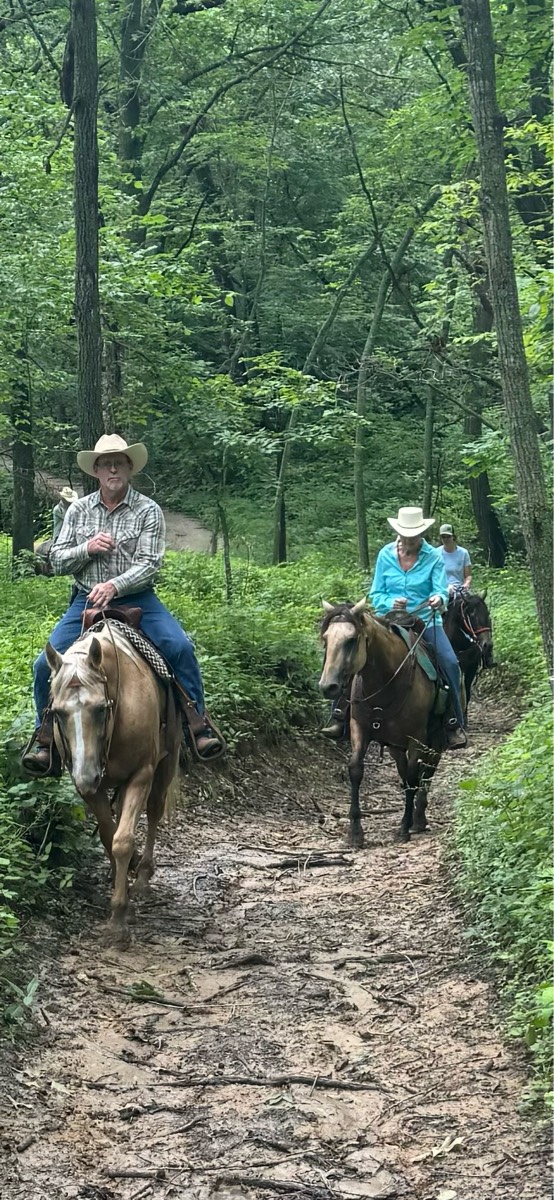
Nice sandy trails through mostly woods

Beautiful mountain trail good switch back roads


Andrea visit / Tom and Jerry visit

First half woods Last half fields and rocky road
Beautiful way to experience the canyon and several of the most famous hoodoos. Steep single track trails, not for green horses!
Gravel, dirt, single track multi use trail. Go during weekday for a chill vibe.
Heading up Bear pen getting them in shape.
Grassy, Great footing, Completely Amazing!!

Trailer to get to the bone yard in 1 hr
Road, highline, trails
10 mile loop on Mt. Spokane. Accidentally added 2.5 at the beginning of the ride which will just loop you back to the parking lot.
No water on H. Road rocky, dusty n hot. H trail in woods cooler n shady. Several overlooks with picket lines

Rocky and technical, but the views are great and if you get to the meadow it's a great place for you and your horse to have a snack

All trails in the United States
Ready to explore the best equestrian trails in the United States? Equilab offers thousands of riding routes for scenic strolls, endurance training, and more. Discover verified trail maps to find the perfect path for your next adventure, and then track your ride – all using the world's best horse riding app.
FAQ about Equilab trails
You can explore these trails and many more within the Equilab app! Simply download the app onto your mobile device, create an account, and then head to the “Track” tab. There you can view thousands of trails to discover and ride.
No, Equilab empowers equestrians everywhere to discover and ride trails for free! By creating an account within the app (no payment needed), you will be able to see and ride all public trails. Our Premium subscription offers great additional features, which you can learn more about here.
You can control the visibility of any trails you create using Equilab by selecting different privacy options when saving the trails. If you choose to make a trail "Public", it will be visible here on our website and to anyone using the app. Private trails, on the other hand, are only visible to you and (if you're a Premium user) anyone you share them with. Note: If you rode on private property, we strongly recommend saving your trail as "Private".
Equilab’s list of trails currently only includes those that have been tracked by riders using the Equilab app. As a result, there are still many trails not yet included in our platform. Anyone can track trails and add them for free, however — giving you the chance to help others discover new places to ride!
Yes! You can add a trail from any ride you track using the Equilab app. To so, simply download the app, create an account, then record your ride on the trial.
Note that to create a trail, the ride must be at least 0.6 miles long, have taken at least 5 minutes, and must not have been tracked within an arena.
Our community members have added more than 35,000 public trails, and new ones are added every day. We hope you enjoy exploring them!

Contact our team
Feedback & Help
support@equilabapp.com
Press and Partnerships
marketing@equilabapp.com
Business Inquiries
admin@equilabapp.com


