


All horse trails in the United States


Ready to explore the best equestrian trails near you? Equilab offers thousands of riding routes for scenic strolls, endurance training, and more. Discover verified trail maps to find the perfect path for your next adventure, and then track your ride – all using the world's best horse riding app.
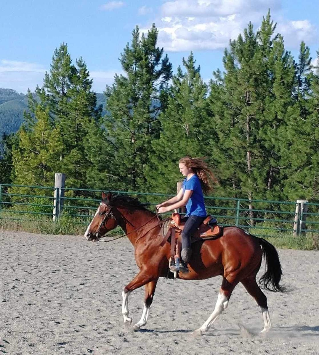
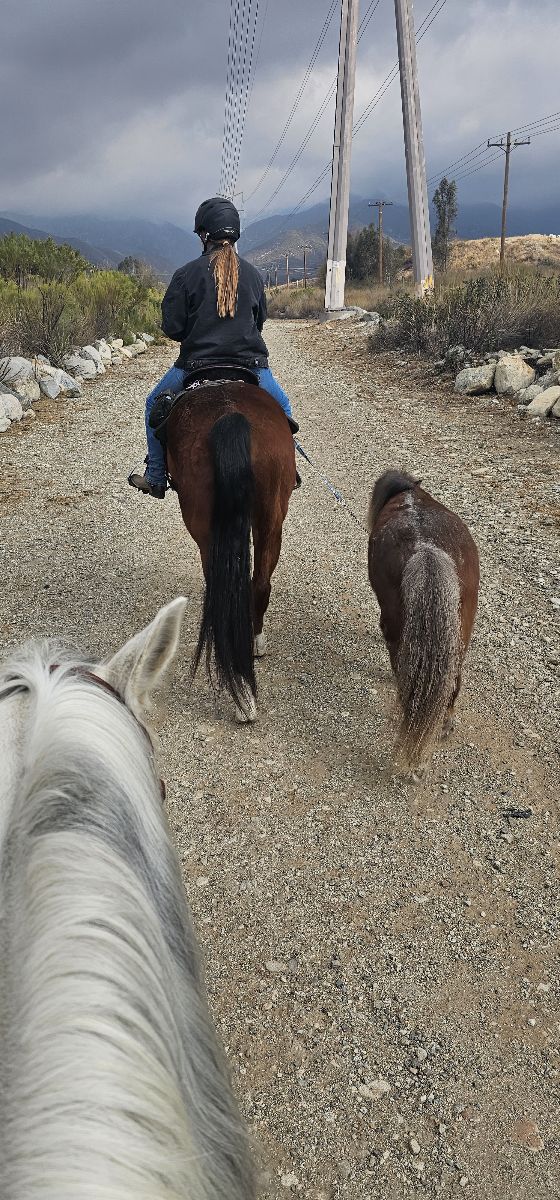
Most popular trails


Through grasslands and trees. Shady

Mostly shade, some roots in areas.

This is going through the cut off. Not the whole trail. When it rains there is a lot of muddy spots. One hill is very rocky.
4 miles ends with creek
Gorgeous ride through the forest and some clear cut areas. It is great footing (my friend’s horse was barefoot and my horse had front boots on). There is some elevation gain but nothing too drastic. There’s a couple bridges to cross or three if you ride to the Mima Falls lookout.
Easy, two water crossings, 1 bridge
 a little mucky, but nice trails marked Ron’s Place is awesome. He thought of everything for horse in Ryder. There is a state camp up the road.

Estrella Regional Park - Loved this trail ride from Coldwater Trail to Butterfield to Gadsden Trail to Butterfield to Coldwater. Charlie was the best horse ever.


Broken Arrow Trail
Church entrance to four corners and back

Blue circle trail, yellow diamond, orange diamond. Loop. Horrible parking space for trailers. There’s a trailhead parking about a half mile north… highly recommend. Can take the orange diamond trail south to this loop.
The slope out of David canyon is very rocky, I climbed and led Jack up the steepest parts

Grail across from grail #48 (Aspen Creek Trail)
Fun ride. You rarely run into any bikers in the late evening
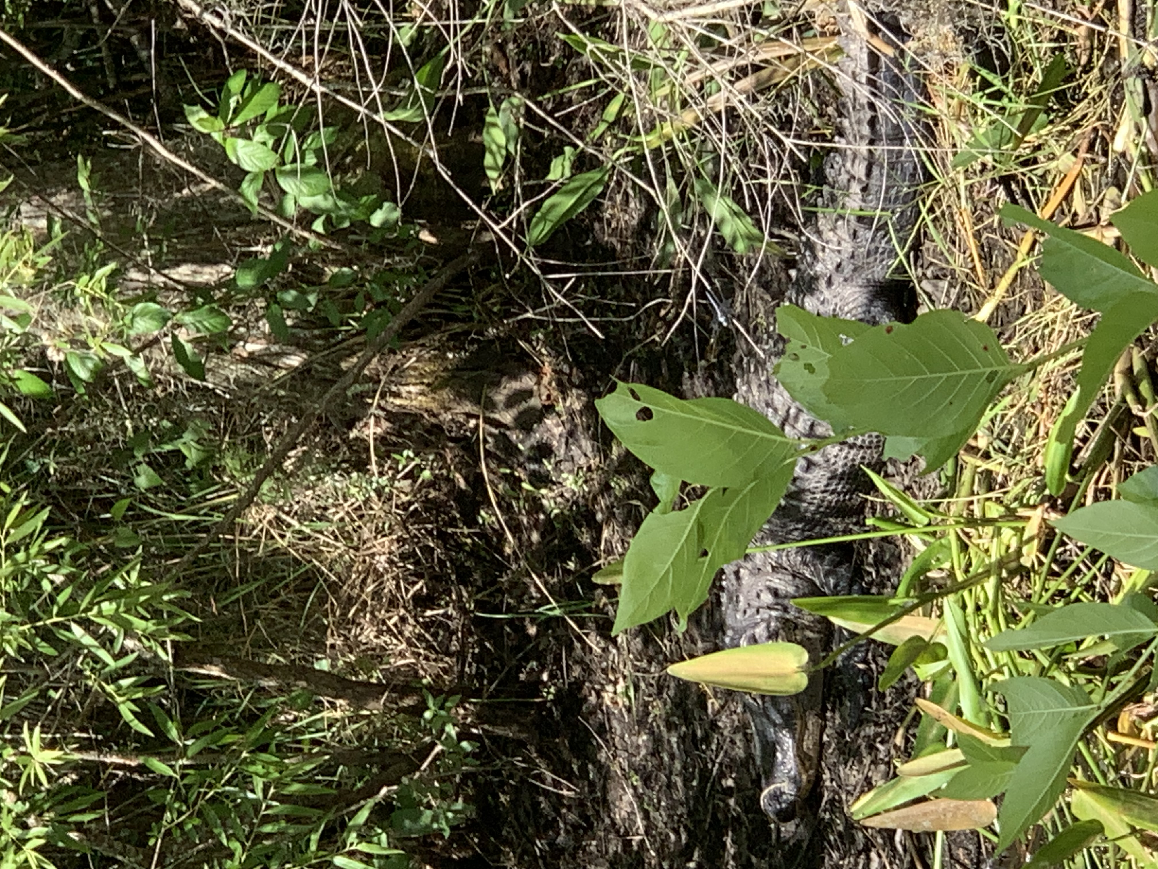
Fabulous old Florida Terran Can be wet in rainy season
Advanced Beginner trail. Wooden bridges, water crossing steeper hills.
Woods, trails , little slick in spots
Wet class 6 road passable by horses
BP to Groton House, cross water and back to BP
Horses need to be road safe
Broken Arrow Trail
Along water then River
Flat, sandy, some wet spots. Overall great ride


Ski trails from Kimberly's house

Nickle plate diagonal rd
Locust to Fig to 33 Canal

Wooded trail, some rocks, some climbs, short stretch along the road from the overflow camp to 4B return
Partially shaded. Barefoot friendly.Fairly open, can see a good distance.Driving friendly.

Jack’s loop in Big South Fork. Nice easy ride with plenty of options to gait.
Poorly marked so we made some of our own way

Nice River trails and nice climb up hill too see THE WALL and Tijuana then the ocean! Breath taking!


Wishing well, salt Peter cave, goat trail
Training for long distance
Wide logging road type trail. Multi use. Well maintained except downed trees take awhile to be cleared. Lots of water enterences for dogs, too muddy for horses. Parking area is good for smaller trailers. Large trailers may have issues turning around. Super busy during fishing.
Loops around cheatham hill

Dirt trail with some rocks and several road crossings
Muddy kinda technical in areas.
Gentle terrain and hard soil in dry weather river bridge crossing

Rockie and a lot trees down
Wooded trail with jumps

A 20 mile round-trip trail mostly through the woods from one side of wild river to the other. water opportunities along the trail bathroom on the Sunrise side
Went off on narrow trails as I wanted to stay in the shade.

Forested. Elevation changes
Easy , shaded, water at the end
There was some areas of standing water. New trail was beautiful came out on sand trail then back on spur.

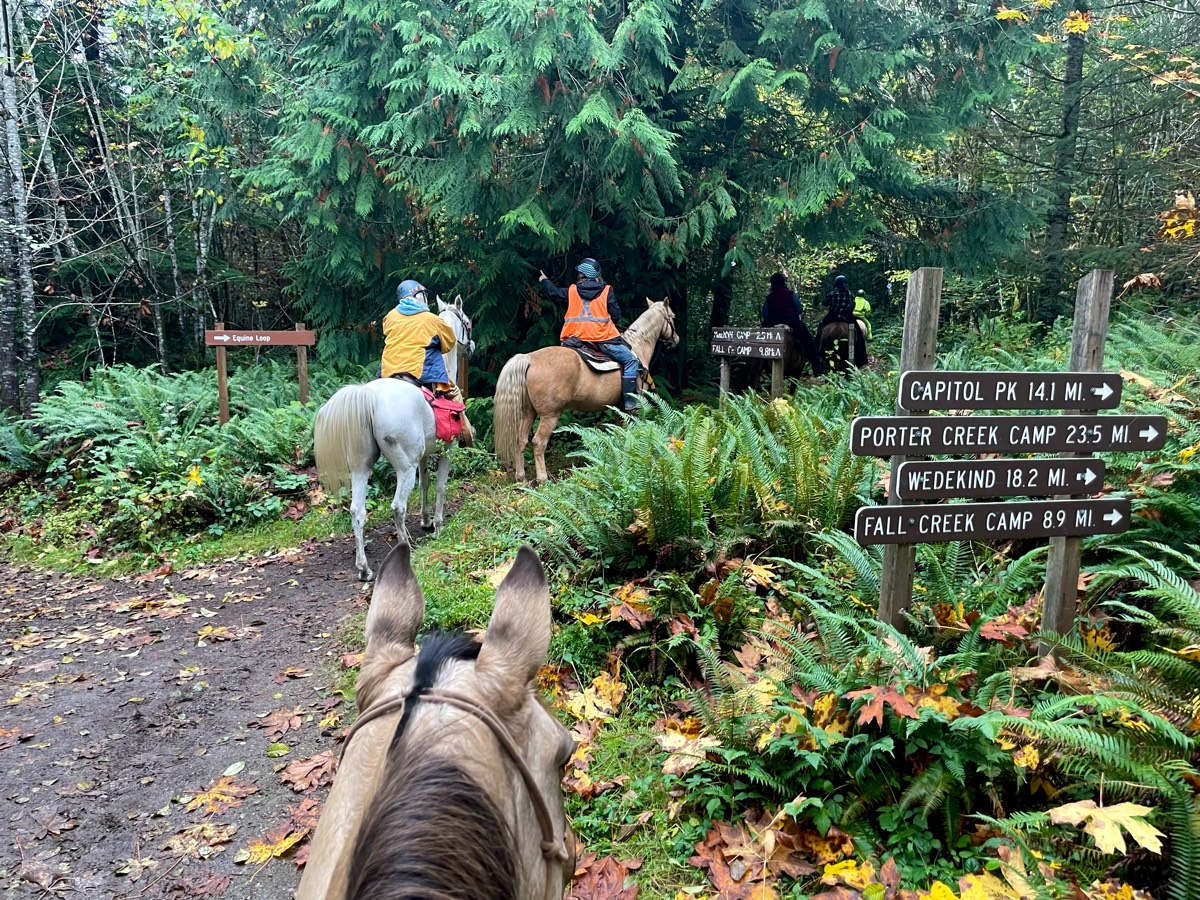
Hunters station cross Bfield Jub Rd follow horse camp signs switch to pink trail after crossing road
Through trees and fields
The path where all the mf gnomes are

Flat road can ride abreast


Loafer creek trail loop


May mountain, barre mill trail.

A combo of woods, hills and pasture land.

Well draining and shaded
Trail is great for moving out
Entrance near Oakland Camp
Racing stripes
Rocky, hilly, gorgeous
Limestone multi use trails with some wooded areas to ride too
All trails in the United States
Ready to explore the best equestrian trails in the United States? Equilab offers thousands of riding routes for scenic strolls, endurance training, and more. Discover verified trail maps to find the perfect path for your next adventure, and then track your ride – all using the world's best horse riding app.
FAQ about Equilab trails
You can explore these trails and many more within the Equilab app! Simply download the app onto your mobile device, create an account, and then head to the “Track” tab. There you can view thousands of trails to discover and ride.
No, Equilab empowers equestrians everywhere to discover and ride trails for free! By creating an account within the app (no payment needed), you will be able to see and ride all public trails. Our Premium subscription offers great additional features, which you can learn more about here.
You can control the visibility of any trails you create using Equilab by selecting different privacy options when saving the trails. If you choose to make a trail "Public", it will be visible here on our website and to anyone using the app. Private trails, on the other hand, are only visible to you and (if you're a Premium user) anyone you share them with. Note: If you rode on private property, we strongly recommend saving your trail as "Private".
Equilab’s list of trails currently only includes those that have been tracked by riders using the Equilab app. As a result, there are still many trails not yet included in our platform. Anyone can track trails and add them for free, however — giving you the chance to help others discover new places to ride!
Yes! You can add a trail from any ride you track using the Equilab app. To so, simply download the app, create an account, then record your ride on the trial.
Note that to create a trail, the ride must be at least 0.6 miles long, have taken at least 5 minutes, and must not have been tracked within an arena.
Our community members have added more than 35,000 public trails, and new ones are added every day. We hope you enjoy exploring them!

Contact our team
Feedback & Help
support@equilabapp.com
Press and Partnerships
marketing@equilabapp.com
Business Inquiries
admin@equilabapp.com


