


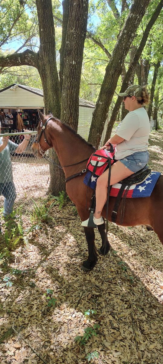
All horse trails in the United States


Ready to explore the best equestrian trails near you? Equilab offers thousands of riding routes for scenic strolls, endurance training, and more. Discover verified trail maps to find the perfect path for your next adventure, and then track your ride – all using the world's best horse riding app.
Most popular trails


OHV trail head left to go toward the salt river and play in the water. Follow tho loop around and great loping through the wash. We like to stop at the river again to cool off before heading back to the gate and trailers

Garnet mine loop with some east crossroads and water tower. To tunnel and back to trailhead.
Good trail with water crossing, bridges and friendly bikes

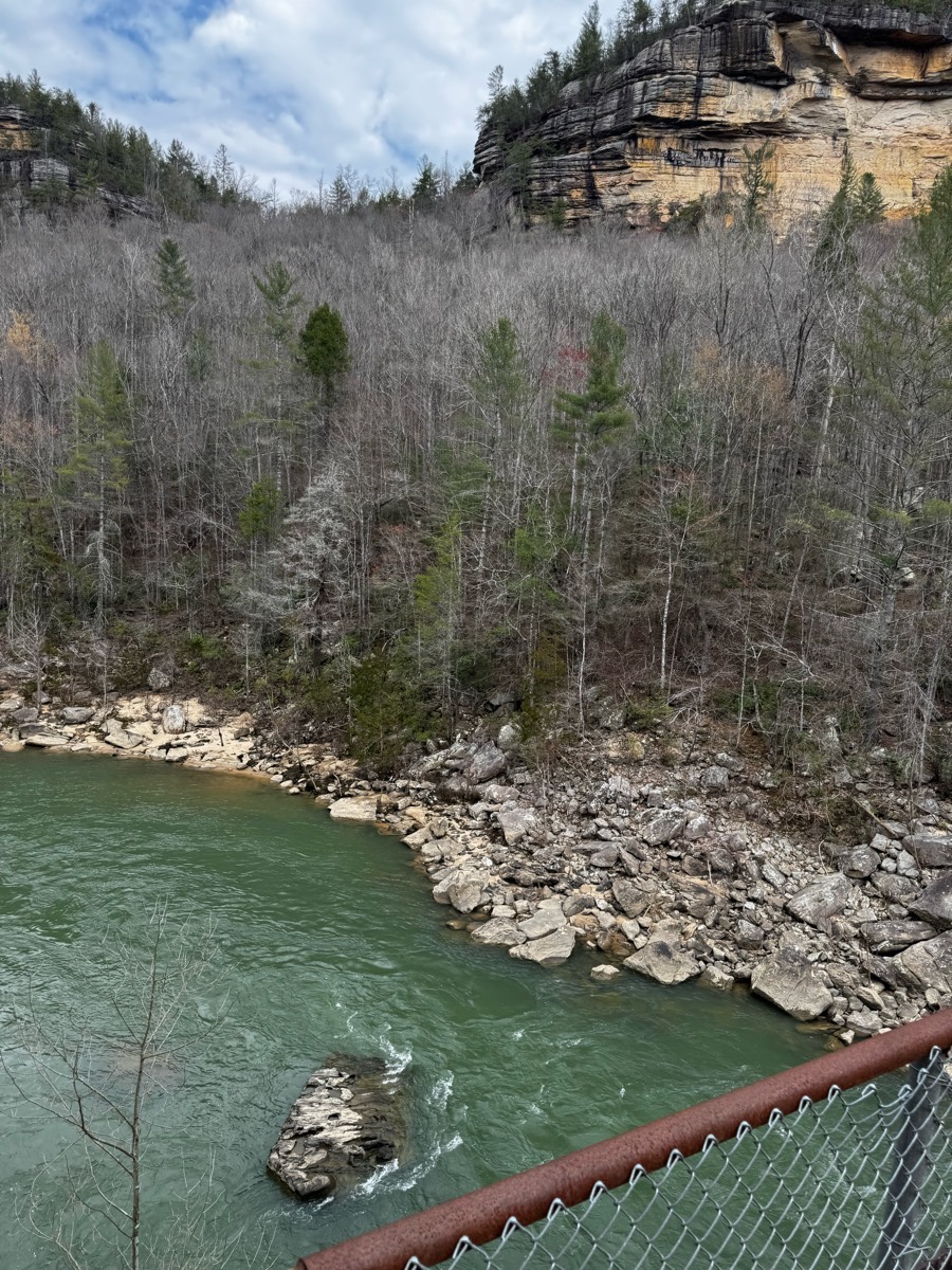
Hilly, water views, single track, dense woods
Moderate riding trail

Beautiful Sandy terrain, creek, oak trees

Easiest place to park and ride in the Bay Area. Giant parking, friendly rangers, wide flat trails with no dogs off leash. Best place to take green horses or beginner riders!

Leaving Rancho Rio, riding up and down the bluffs and making the boat g loop on Panorama Vista Preserve.
Great footing. Water crossings
Otter pond 237 entrance
Lots of hills and rocks
Easy with lots of canter and trot space
Smyrna Hill part of the trail is rocky. Tough hooves or shoes needed.
Hilly and wooded
Very easy trails, great for first timers and green horses.
Lots of water crossings and stepovers logs and brush. Trails are very well marked.

River mill plus cutoff
River valley horse camp
Foxboro requires a membership or daily passhttps://foxborohorsefarm.com/foxboro-riding-club/
Blue trail to LL Wallace
Beautiful ride along the river

Part of it. Not the whole trail


Beautiful wooded trails
Sandy trail with some climbs. The trail is shared with hikers and (generally polite) bikers.

Gettysburg Battlefield views
Relatively flat with some small hills. Goes through Wendys MeadowFoxboro requires a membership or daily passhttps://foxborohorsefarm.com/foxboro-riding-club/
Short ride. Good to start the season with.

Sandy washes, hills, canyons

9 miles. Lots of hills. Primarily up and back down Last 2 mile was more level
Our barn property butt's up next to this
Hilly. Lots of leaf litter. Avoid in very wet conditions.
Short loop from the A&P Ranch
Equestrian, bike, and Pedestrian path

Big timber and shady, some brush clearing to do on the lower alder loop section
Loop to cane break and back
Moderate- lots of hills
Good footing, leads into a equine community
Mud Pond Road to Courtney‘s Crossing to graveyard Trail all the way up to Ivy Road then back down the main trail to mud Pond back to the farm 

Trail around golf course grounds
Mix of a lot of trails crossing the river

Higher ground than the other trails so it was a lot drier
Mixed, encountered yellowjackets

Needs to be a faster ride to get to cookout in 1.5 hours.
Go all the way around the neighborhood of crossroads in one big loop!
State Forest conditions
Woods with water crossings
Did lots of water crossings and switch backs with hills!


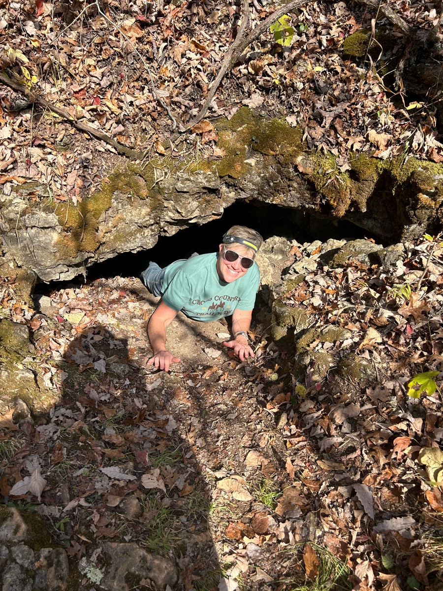
Taking the Founders Trail MCT to the suspension bridge and walking a little further past it. Then up the Goat Creek-Flagg Mtn-Inn Run back to the corralsThere are a couple hills, but they aren’t super steep and the footing is okay, a little rocky, but not bad

Multi use trail. Started at Stockbridge and headed toward Gregory. Roads to cross. Paved and gravel.
To the water trough from j6 ranch eq center
All trails in the United States
Ready to explore the best equestrian trails in the United States? Equilab offers thousands of riding routes for scenic strolls, endurance training, and more. Discover verified trail maps to find the perfect path for your next adventure, and then track your ride – all using the world's best horse riding app.
FAQ about Equilab trails
You can explore these trails and many more within the Equilab app! Simply download the app onto your mobile device, create an account, and then head to the “Track” tab. There you can view thousands of trails to discover and ride.
No, Equilab empowers equestrians everywhere to discover and ride trails for free! By creating an account within the app (no payment needed), you will be able to see and ride all public trails. Our Premium subscription offers great additional features, which you can learn more about here.
You can control the visibility of any trails you create using Equilab by selecting different privacy options when saving the trails. If you choose to make a trail "Public", it will be visible here on our website and to anyone using the app. Private trails, on the other hand, are only visible to you and (if you're a Premium user) anyone you share them with. Note: If you rode on private property, we strongly recommend saving your trail as "Private".
Equilab’s list of trails currently only includes those that have been tracked by riders using the Equilab app. As a result, there are still many trails not yet included in our platform. Anyone can track trails and add them for free, however — giving you the chance to help others discover new places to ride!
Yes! You can add a trail from any ride you track using the Equilab app. To so, simply download the app, create an account, then record your ride on the trial.
Note that to create a trail, the ride must be at least 0.6 miles long, have taken at least 5 minutes, and must not have been tracked within an arena.
Our community members have added more than 35,000 public trails, and new ones are added every day. We hope you enjoy exploring them!

Contact our team
Feedback & Help
support@equilabapp.com
Press and Partnerships
marketing@equilabapp.com
Business Inquiries
admin@equilabapp.com


