


All horse trails in the United States


Ready to explore the best equestrian trails near you? Equilab offers thousands of riding routes for scenic strolls, endurance training, and more. Discover verified trail maps to find the perfect path for your next adventure, and then track your ride – all using the world's best horse riding app.
Most popular trails


Beautiful ride steep but a nice loop

It’s a nice trail as long as you have gaited horses
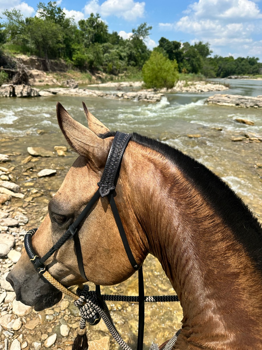
Rocky with several necessary water crossings, lots of shade, beautiful scenery

Mostly shady, single track, shoes required. Got lost a few times when we couldn’t find ribbons.
Woods, rocky, I got lost/turned around
Pretty easy trail for a moonlight trailride. Save grounds for walk trot and canter on the dark

Easy ride through wooded trails. 2 bridges over creek. Can enter creek to water horses

Crossing the Salt River at Tonto Forest

Lots of places for trot, a few steep hills and water crossingsFoxboro requires a membership or daily pass https://foxborohorsefarm.com/foxboro-riding-club/
Little HWY 100 traffic
Mostly shady except part of pink trail.Mostly sand or grass but sone small gravel to traverse. Can ride in the dude in these areas.Two water tanks, clean.Enjoyable, well-marked trails!
Great long ride today.

Natural springs
Riding out of Virginia’s house
Short Saturday ride
Little bit of everything

Dimple Dell single track and wide bark trail.

Grassy fields, some creek, across the street from Starry Night Stables
Doton’s Point fro Los Lagos


Single track, hills, some rocks
Good trail with several loops plenty of places for water good footing

Past the saw mill on the way out, over to Trumps, then through the back Howard’s field.

Up a down. Mostly woods. Some mud
Mostly soft dirt, some steep downhill but they’re short and short pieces that are more rocky
Nice wooded around the back of camp and back thru the camp to get home
Sandy, gently rolling trails. Nice River access


Easy. Mostly flat. Several water crossings.
Sandy, gravel pit and lake access
From the house to McElroy road. Lots of rock and trees to dodge and a seasonal creek, but just like that you are in meadow vista! When you hit the road there are cars and dirt bikes that you have to watch out for. People are nice.

A bit of a mess in places where Park improvements are in process

Grassy, hills and water crossings
A pretty simple easy loop.
Crosses the Bridge and brings you by the farm animals.
goes through hills and vineyards. lots of places where you must cross the street.
Nice clear open trails
Hilly and rocky lots good views

Off road thru old pines
Store to Forest Camp
Easy, well defined trail around 1/2 of the estate.
Straight up; skirt around little baldy. May have downfall pending the season. Pass the guzzler deer tank ü¶å
Been here many times
Part of the bladen lakes trail system. Flat lamd in a pine forest
Woods and open lanes, always a good time

Metropark cross roads parking at archery
Rolling hills, rocky, creek crossings.
1 RtT bridge. 1 vehicle bridge. Bicyclists. 1-2 places of larger rock (5-6” diameter). Otherwise, a flat, easy trail. Sand or hard-packed dirt.
Open fields and forest ending in water

Great day to be alive!
Rocky terrain from 74 freeway to anza
Easier olmstead loop with green horse, safer water crossings and not too much tree over hang and wide trails.

Flat with candy spots. Woods and a big field
Great footing, quiet trail.
Ponderosa and big loop

Nice loop - stays low near creek.
Not for the faint of heart! Some REALLY trappy spots.
All trails in the United States
Ready to explore the best equestrian trails in the United States? Equilab offers thousands of riding routes for scenic strolls, endurance training, and more. Discover verified trail maps to find the perfect path for your next adventure, and then track your ride – all using the world's best horse riding app.
FAQ about Equilab trails
You can explore these trails and many more within the Equilab app! Simply download the app onto your mobile device, create an account, and then head to the “Track” tab. There you can view thousands of trails to discover and ride.
No, Equilab empowers equestrians everywhere to discover and ride trails for free! By creating an account within the app (no payment needed), you will be able to see and ride all public trails. Our Premium subscription offers great additional features, which you can learn more about here.
You can control the visibility of any trails you create using Equilab by selecting different privacy options when saving the trails. If you choose to make a trail "Public", it will be visible here on our website and to anyone using the app. Private trails, on the other hand, are only visible to you and (if you're a Premium user) anyone you share them with. Note: If you rode on private property, we strongly recommend saving your trail as "Private".
Equilab’s list of trails currently only includes those that have been tracked by riders using the Equilab app. As a result, there are still many trails not yet included in our platform. Anyone can track trails and add them for free, however — giving you the chance to help others discover new places to ride!
Yes! You can add a trail from any ride you track using the Equilab app. To so, simply download the app, create an account, then record your ride on the trial.
Note that to create a trail, the ride must be at least 0.6 miles long, have taken at least 5 minutes, and must not have been tracked within an arena.
Our community members have added more than 35,000 public trails, and new ones are added every day. We hope you enjoy exploring them!

Contact our team
Feedback & Help
support@equilabapp.com
Press and Partnerships
marketing@equilabapp.com
Business Inquiries
admin@equilabapp.com


