


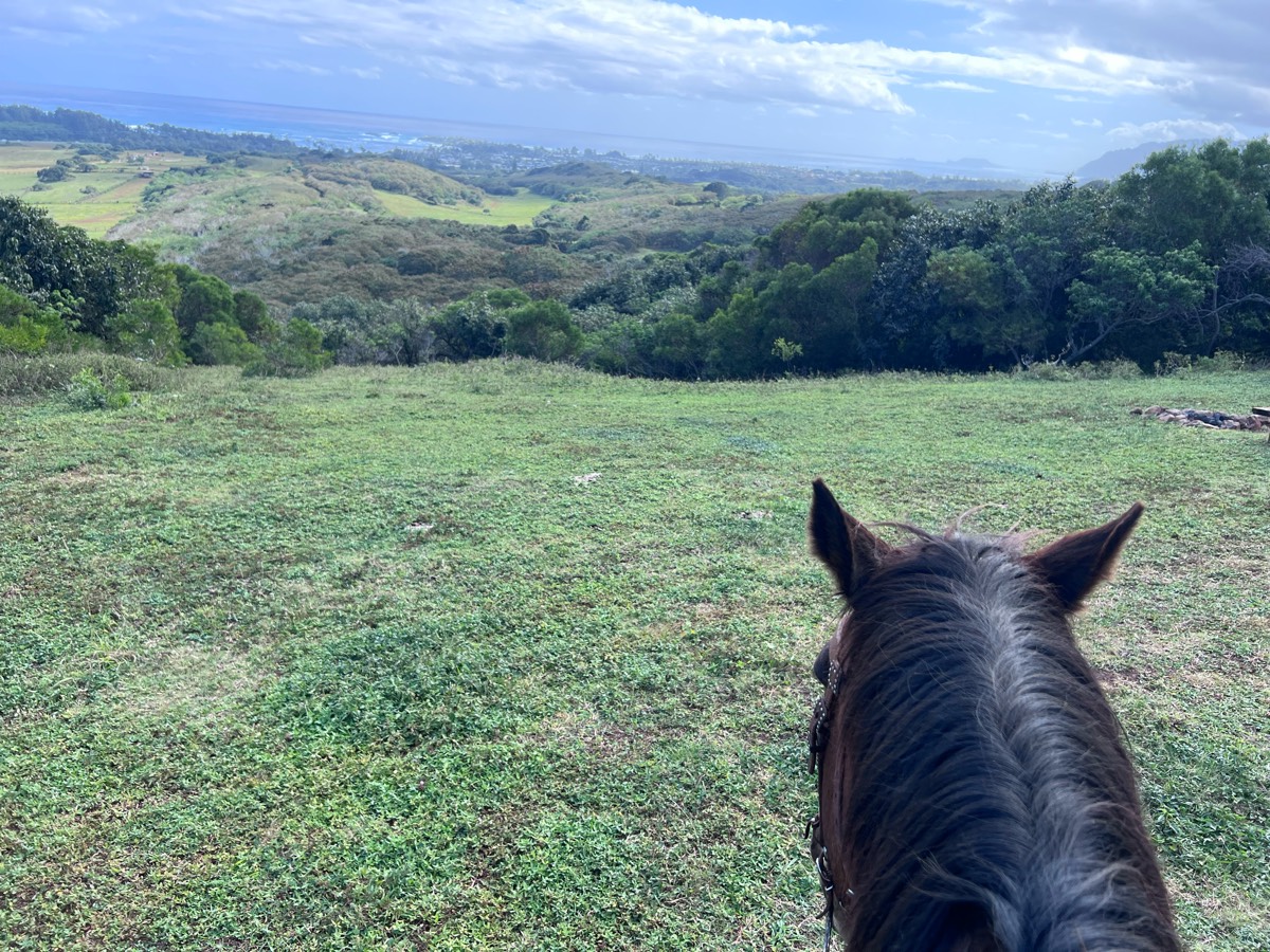
All horse trails in the United States


Ready to explore the best equestrian trails near you? Equilab offers thousands of riding routes for scenic strolls, endurance training, and more. Discover verified trail maps to find the perfect path for your next adventure, and then track your ride – all using the world's best horse riding app.
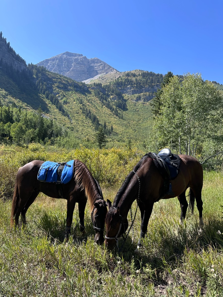
Most popular trails


Outskirts only (crops in the middle) no ground hog holes spotted so far, some good cantering spots

Rocky 6.8 miles , 2hrs 20mins
Cross country and trail riding

Trail ride to covered bridge, tunnel and bridge over road. Rode to Fair grounds, some rocky ground and steep areas.

Land along the Mississippi River in Illinois!
Water crossings with Sandy and Rocky areas


Horseback riding and hiking trails. Horses need to be shod on some of the trail.
Steep start and end


Some fields other more technical trails in woods
Good for a nice trot
Single track nice bridges and water crossings

Mixed footing with some rocky spots, may need hoof protection for tender hooves.
Easy trail with water access

River trail loop from equestrian day parking
Some trees down; Rocky in spots & loony & sandy in other spots.
Did level 4 technical

Sand and Hills, Ride on the lakeshore

Path around the lake

Trail right out of camp

Investigating blue trail damage.
Steep, narrow and rocky

Loop with friends

At Parrie Haynes in Killeen Texas

Bridlepath on Euclid made for horses

Mostly flat terrain, few rocks. Muck Creek is very full at this time. It is in the “red” at the ford crossing in 13B closer to Hwy 507 just south of Rice Kandle Rd (the section where is is a gravel road)
Hatfield ridge to charit lodge with a stop at the BAF river then along the Charit stream.

Wash and a lot of ups and downs
Lots of trails. Well marked.
To the lookout above the cemetery. Down to Impava and back up the trail.
Limestone roads with a few water crossings

Fairly rocky trail with some slick clay spots as well as a decent amount of hill work.
Easy long loop close to house and back.


Across the street
You can do this trail from timpanooke or salamander to shorten it. Camping up on the equestrian loop just past timpanooke trailhead. 3 decent climbs but forgiving in nature. 2-3 water stops. Roots but low on rocks. Nice views. Busy at trail junctions and 2 road crossings.

Some rocks, but nice multi-usr trails.


Scenic trail, for horses or pedal bikes. Rocky in the majority of the trail. Medium to Advanced type trail. Horses need shoes for this trail. Best time to ride is Spring, early Summer or Fall. Lots of Cedar trees, pinion pine, sage brush, Indian paintbrush blooming in the spring.

Trinity Trail on Lake Lavon
Leslie to big rock loop
Hilly with swampy areas but beautiful views
Hard ride remember that part. Adding trail from 2021 to have for future
Very stony. Wish she had had shoes on.

Rhonda, Earline, Ginger, Jeannie S. and friend, Tonia, Carol R., me

Sandy - wooded - two track - beach
Loop from pasture barn around the staging area parking lot and back.

Hills water flat some two track

Beautiful trail winter or summer
Mostly flat trails with a few steep hills leading down to the river.
Goes from trout creek, pit stop at the gravel pit then all the way to the second creek crossing. Then back home along the same trail
Sugarloaf Endurance trail 15.6 miles


Lewis and Clark state park horse trails. Trails number 6,5,4,3,2,1. Great condition, mostly 2 track.
All trails in the United States
Ready to explore the best equestrian trails in the United States? Equilab offers thousands of riding routes for scenic strolls, endurance training, and more. Discover verified trail maps to find the perfect path for your next adventure, and then track your ride – all using the world's best horse riding app.
FAQ about Equilab trails
You can explore these trails and many more within the Equilab app! Simply download the app onto your mobile device, create an account, and then head to the “Track” tab. There you can view thousands of trails to discover and ride.
No, Equilab empowers equestrians everywhere to discover and ride trails for free! By creating an account within the app (no payment needed), you will be able to see and ride all public trails. Our Premium subscription offers great additional features, which you can learn more about here.
You can control the visibility of any trails you create using Equilab by selecting different privacy options when saving the trails. If you choose to make a trail "Public", it will be visible here on our website and to anyone using the app. Private trails, on the other hand, are only visible to you and (if you're a Premium user) anyone you share them with. Note: If you rode on private property, we strongly recommend saving your trail as "Private".
Equilab’s list of trails currently only includes those that have been tracked by riders using the Equilab app. As a result, there are still many trails not yet included in our platform. Anyone can track trails and add them for free, however — giving you the chance to help others discover new places to ride!
Yes! You can add a trail from any ride you track using the Equilab app. To so, simply download the app, create an account, then record your ride on the trial.
Note that to create a trail, the ride must be at least 0.6 miles long, have taken at least 5 minutes, and must not have been tracked within an arena.
Our community members have added more than 35,000 public trails, and new ones are added every day. We hope you enjoy exploring them!

Contact our team
Feedback & Help
support@equilabapp.com
Press and Partnerships
marketing@equilabapp.com
Business Inquiries
admin@equilabapp.com


