


All horse trails in the United States


Ready to explore the best equestrian trails near you? Equilab offers thousands of riding routes for scenic strolls, endurance training, and more. Discover verified trail maps to find the perfect path for your next adventure, and then track your ride – all using the world's best horse riding app.
Most popular trails


under a power line, long but rocky and steep
Out on right corner red to blue 1st loop, down easemenr to blue interior loop, To red by the river across the bridge up the easement to white, Back to red along the river, to Green red connector trail to green trail, then back on red to trailhead.
Pea gravel. Flat. Wide.
Wooded trails, very shady

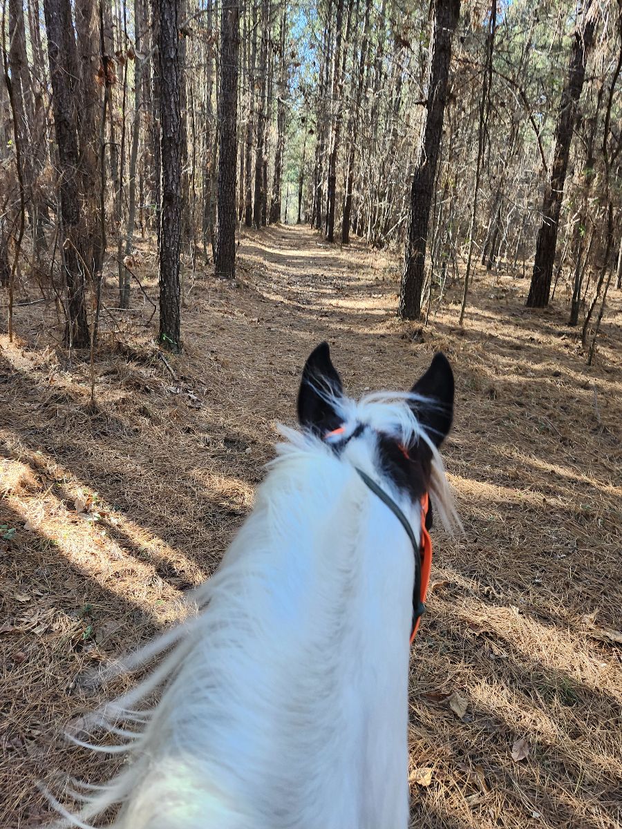
Nice wooded and field trails.
Up hill towards Strawbridges, to metal bridge and usual covered bridge with extra trail
Holder ridge to Carey Creek via road H

Short loop on ledge from camp
Actual trails were to muddy to ride as 2 weeks non stop rain
Medium difficulty fun trail

Couldn’t go to powerline across the dam bc Duke Power was working on the lines.
Good trail in good weather. Heard that in rain/wet weather it is a mess.
Nice Gaiting trails

Goethe national forest
A combination of trails in Norris Damn that added up equal about 10 miles. Very hilly.
Good endurance trail.
Easy trail with lots of paths
Undulating with uphills

Mostly single track through the woods

Lope to Reserve swim in the lake!
Apache South and pine ridge
2700 feet vertical gain in the first three miles. Beautiful.

Nice and easy on the road

Trail starts and ends at the Santa arena.
Mostly dirt roads and in the wood trails. Some rock patches and road crossings.
Trail easy relative to other mountainous trails.

Abandoned rail trail
Jacktown/50 acre twice around the beginning of the ride closer to our original spot, he did not want to move forward. Finally got through it the rest of the ride perfect.
Flat trees then open field


Lots of elevation changes, bridges and steps. A few creek crossings along the way. Depending on time of the year, there’s some snow in the higher elevations. A mixture of different footing.Followed trails upper elk spur and bull run

Beautiful Sandy multi use trail through woods & vale.

east gate out of parking lot.
Variety of scenery, beautiful ridge top and streamside views, moderate difficulty due to hills, switchbacks, steep rocky terrain
Take first elbow instead

Easy trails with spots of gravel. Creek available for water

Mostly sugar sand trails. Piney flat woods. Not much shade so best to ride when it’s cool out.
Port Blakely tree farm
Relaxing trail along the river
Took the left trail from the parking area.Got Rocky so turned around as my horse is barefoot. Encountered one very polite biker. Public gamelans, trail well marked.
Moss Foundation trail
Moderate small hills, rocky
Nice trail, flat plus rolling hills. Perfect in fall and spring before bugs!
North Appleton Lot
Deep sand with hills. Lots of wildlife. Possible swimming with horses

Sunrise road to the speedway
Sandy, hilly. Stay to the right, sand isn't so deep

It actually begins at the Roslyn riders Fairgrounds Arena. I forgot to start the app a few miles into the ride.It has one or two technical steep sections you do share with mountain bikers and hikers


Less rocky, some double track. Views! Quiet!
Quick ride around the main roads of Outpost Ranches
The xc course starter for fort tuthill

Mostly flat and wide enough for two horses. Some road riding, but wide shoulders.

South jetty to entrance of Ona
Sandy Pines - good footing, some shade.
Wooded trails with areas of more open areas
Fairly flat along farmland and through the woods 
Starts at Rosie's trail, around Linda's up to Hunters ridge and back behind Tammy's and Marks.
Small trail loop at Lake Isabella
Some rocks and water crossings
Oakham parking cross over T
Sleepy Hollow State Park. Has a big hill that’s covered with leaves, can be a bit slippery. There’s a small wooden bridge to cross as well.

All trails in the United States
Ready to explore the best equestrian trails in the United States? Equilab offers thousands of riding routes for scenic strolls, endurance training, and more. Discover verified trail maps to find the perfect path for your next adventure, and then track your ride – all using the world's best horse riding app.
FAQ about Equilab trails
You can explore these trails and many more within the Equilab app! Simply download the app onto your mobile device, create an account, and then head to the “Track” tab. There you can view thousands of trails to discover and ride.
No, Equilab empowers equestrians everywhere to discover and ride trails for free! By creating an account within the app (no payment needed), you will be able to see and ride all public trails. Our Premium subscription offers great additional features, which you can learn more about here.
You can control the visibility of any trails you create using Equilab by selecting different privacy options when saving the trails. If you choose to make a trail "Public", it will be visible here on our website and to anyone using the app. Private trails, on the other hand, are only visible to you and (if you're a Premium user) anyone you share them with. Note: If you rode on private property, we strongly recommend saving your trail as "Private".
Equilab’s list of trails currently only includes those that have been tracked by riders using the Equilab app. As a result, there are still many trails not yet included in our platform. Anyone can track trails and add them for free, however — giving you the chance to help others discover new places to ride!
Yes! You can add a trail from any ride you track using the Equilab app. To so, simply download the app, create an account, then record your ride on the trial.
Note that to create a trail, the ride must be at least 0.6 miles long, have taken at least 5 minutes, and must not have been tracked within an arena.
Our community members have added more than 35,000 public trails, and new ones are added every day. We hope you enjoy exploring them!

Contact our team
Feedback & Help
support@equilabapp.com
Press and Partnerships
marketing@equilabapp.com
Business Inquiries
admin@equilabapp.com


