


All horse trails in the United States


Ready to explore the best equestrian trails near you? Equilab offers thousands of riding routes for scenic strolls, endurance training, and more. Discover verified trail maps to find the perfect path for your next adventure, and then track your ride – all using the world's best horse riding app.
Most popular trails


Short enough for a morning long enough for fun

Rocky 4 wheeler trail some trail is on the main road and it’s hilly and lots of corners
North from the nw 126th street parking lot, then east to dam and back.
Big way to Wilson
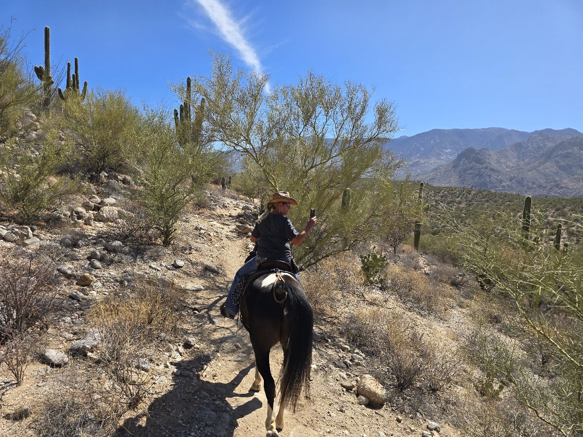
Catalina State Park equestrian campsite
Granite mountain various
Great for getting horses fit
Road-Asphalt and dirt around cemetery and pond

Midnight Stars Stables Trail
Local Lakebay Trails

Rocky fire roads and several single tracks
Nice trail, super close to the barn.


Public park- beautiful well maintained trails

Across the railroad tracks- loop to the right for conditioning
Big way from willow point cutoff to the hay barn and back
Lots of water crossings. Narrow. Next to lake

Nice trails. Wide maintained mostly grass.

Ride to the “you are here” sign
Upper right side of park

Shorter loop has other options to connect to, some of which are often underwater or covered by too much brush
Sandy, rutty, shared trails with ORV

Medium to hard trails with lots of hills, with beautiful views and access to lake.
Millsap Hwy, Sartain Rd, Airport Rd, Sturdivant Rd., Home
Sandy footing
It has some steep, rocky down hill places. Pretty rocky I suggest either shoes or boots for your horse for the trail.
Beautiful easy good footing. I forgot to turn on the tracker so I missed about 2 miles from the parking lot

Very technical and beautiful

Lakebay trails

Olmstead to no hands
Sand and rock. No water
Nice trail nice up-and-down hills

Ranch path once Jacktown once

Mostly single track trail cutting through Daniel Boone National Forest then traversing the banks of Cave Run Lake. Caney Trail is part of the Sheltowee Trace National Recreational Trail.
Full horse trail Homer Glen
Found trail behind red house, came out picked up trail behind big red’s pasture and came up behind old big house.
Dumajack loop and the new knee knocker. Shows starting from Grassy Pond neighborhood. Trailer parking planned for where dog road meets Greenhead rd.
Lots of places for trotting/cantering
Pine forests and oaks with lowlands and palms

Ride up and over our pasture! Don’t forget to be on the look out for bunnies!!
Love this trail. Lots of hills and switchbacks.
Starting at Steeplechase field and covering all thee areas.
By Utah boarders

Trail around her house


Big area to ride in flat with nice ground
Basic loop at Clinton
Rough bushwacking trail
James A Reed trails/roads

With creeks and some
Hilly; pine trees, some road yravel
Some gravel, some fire road, but in woods is nice

Rock peak Wash, right on Santan, Left on Hedgehog, Left on Santan, Right on Rock Peak Wash

Looping trail with bridges

Half of the A trail
Good for fast riding

One small hill, pretty rocky, not a lot of great areas for long stints of trot and canter.
All trails in the United States
Ready to explore the best equestrian trails in the United States? Equilab offers thousands of riding routes for scenic strolls, endurance training, and more. Discover verified trail maps to find the perfect path for your next adventure, and then track your ride – all using the world's best horse riding app.
FAQ about Equilab trails
You can explore these trails and many more within the Equilab app! Simply download the app onto your mobile device, create an account, and then head to the “Track” tab. There you can view thousands of trails to discover and ride.
No, Equilab empowers equestrians everywhere to discover and ride trails for free! By creating an account within the app (no payment needed), you will be able to see and ride all public trails. Our Premium subscription offers great additional features, which you can learn more about here.
You can control the visibility of any trails you create using Equilab by selecting different privacy options when saving the trails. If you choose to make a trail "Public", it will be visible here on our website and to anyone using the app. Private trails, on the other hand, are only visible to you and (if you're a Premium user) anyone you share them with. Note: If you rode on private property, we strongly recommend saving your trail as "Private".
Equilab’s list of trails currently only includes those that have been tracked by riders using the Equilab app. As a result, there are still many trails not yet included in our platform. Anyone can track trails and add them for free, however — giving you the chance to help others discover new places to ride!
Yes! You can add a trail from any ride you track using the Equilab app. To so, simply download the app, create an account, then record your ride on the trial.
Note that to create a trail, the ride must be at least 0.6 miles long, have taken at least 5 minutes, and must not have been tracked within an arena.
Our community members have added more than 35,000 public trails, and new ones are added every day. We hope you enjoy exploring them!

Contact our team
Feedback & Help
support@equilabapp.com
Press and Partnerships
marketing@equilabapp.com
Business Inquiries
admin@equilabapp.com


