


All horse trails in the United States


Ready to explore the best equestrian trails near you? Equilab offers thousands of riding routes for scenic strolls, endurance training, and more. Discover verified trail maps to find the perfect path for your next adventure, and then track your ride – all using the world's best horse riding app.
Most popular trails


Hilly, smooth dirt surface

Great trails to carry some speed on. Need a confident horse and watch out for the homeless. Never had an issue with them, but horses might be a bit uneasy
Hills some steep. Watch out for ground bees ran into several nests
A-Frame to gravel road to steep hill up to upper trail, back to A-Frame parking lot.
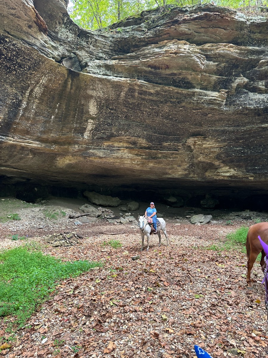
It's the longer loop, in the preserve.
Right: Politic Right: Harris Left: Ingram Left: Mercer

Deep sand in some spots. Gradual hill and steep decline.

Enter at trailer parking. There’s a sign “welcome riders” enter woods and follow signs. Eventually leads to beautiful manicured trails
Sam Angelo state Park

Versailles State Park
North on Rambla. West along power poles to 2nd star the cross country SE to south of Tem.
Oak and pine forest. 2 bridges. No water crossing.
Hitchcock Woods perimeter trail.

Beautiful trail 4.7 miles

Kind of over grown, lots of clearing can be done with hand trimmers couple of trees across the trail that need a small chainsaw to clear them out of the way.
Hills, fields, wooded areas. Beautiful
Ups. downs flats forest meadows
Located at Harlensdal Farm

Excellent footing, wide enough for horses, many many bugs (rode may 7th 2025)
Hilly but nice and wide
This is part of the one of the 50 loops at eagle canyon
5.7 mile loop on The mulch path at Dimple Dell
Cobb Co site open to public; riding arena, restrooms, large parking area.
Mixed gravel roads and soft single track trails through beautiful shaded forest.
Nice easy good gaiting

Nice trail system. Ungroomed due to all the water. Trails were wet
Challenging. Lots of steep hills, logs and narrow trails

Lots of hill climbing. Beware blind corners

Longer loop of the catfish trails.

Having an awesome time riding my horse down Raven Hill Road


Double wide trails. Cows roam free throughout preserve. Multiple gates need to be opened and closed. Very well maintained.

Hard to easy with water crossings and lots of timber riding.
Easy besides traffic
Pocahontas state park. Turn right into road to park offices 9200 beach Road. Pass office and residential house to trailer parking. Shady and crosses water. Primarily old road bed. Can ride even after hard rains.


Very steep, good views
Easy, some small hills
Lake loop with extension near cemetery


Great trail with short walk on paved road- awesome sand road! Great for conditioning
Lime rock trails, not great
Straight and flat

Great camp santinoni
Nice Sandy. Little Rocky
Palmer, Strausenback, Scotsman trail loop
Used route from All Trails
Some creek bed, some hunting roads, some hunting plot areas, water available at some areas, a few long steep hills up and down, a couple big trees down to go around or divert direction, two water falls, lots of bluffs, lots of butterflies on the creek bed areas, created 9/5/2024


Pine hollow start. Up the cascade springs and up to primrose (big climb). Down willow hollow to connect to pine hollow again
5 mile loop from Mtn Vale to Honey Do and back


Sand and cleared from logs etc
Very steep, not for beginners
Few water crossings, nice sandy trails and forest riding.

Gravel road beside stream. Easy and pleasant. Lots of history.
Mix of all terrain but level.
Pretty flat terrain. Deep wash sand in parts.
All trails in the United States
Ready to explore the best equestrian trails in the United States? Equilab offers thousands of riding routes for scenic strolls, endurance training, and more. Discover verified trail maps to find the perfect path for your next adventure, and then track your ride – all using the world's best horse riding app.
FAQ about Equilab trails
You can explore these trails and many more within the Equilab app! Simply download the app onto your mobile device, create an account, and then head to the “Track” tab. There you can view thousands of trails to discover and ride.
No, Equilab empowers equestrians everywhere to discover and ride trails for free! By creating an account within the app (no payment needed), you will be able to see and ride all public trails. Our Premium subscription offers great additional features, which you can learn more about here.
You can control the visibility of any trails you create using Equilab by selecting different privacy options when saving the trails. If you choose to make a trail "Public", it will be visible here on our website and to anyone using the app. Private trails, on the other hand, are only visible to you and (if you're a Premium user) anyone you share them with. Note: If you rode on private property, we strongly recommend saving your trail as "Private".
Equilab’s list of trails currently only includes those that have been tracked by riders using the Equilab app. As a result, there are still many trails not yet included in our platform. Anyone can track trails and add them for free, however — giving you the chance to help others discover new places to ride!
Yes! You can add a trail from any ride you track using the Equilab app. To so, simply download the app, create an account, then record your ride on the trial.
Note that to create a trail, the ride must be at least 0.6 miles long, have taken at least 5 minutes, and must not have been tracked within an arena.
Our community members have added more than 35,000 public trails, and new ones are added every day. We hope you enjoy exploring them!

Contact our team
Feedback & Help
support@equilabapp.com
Press and Partnerships
marketing@equilabapp.com
Business Inquiries
admin@equilabapp.com


