


All horse trails in the United States


Ready to explore the best equestrian trails near you? Equilab offers thousands of riding routes for scenic strolls, endurance training, and more. Discover verified trail maps to find the perfect path for your next adventure, and then track your ride – all using the world's best horse riding app.
Most popular trails


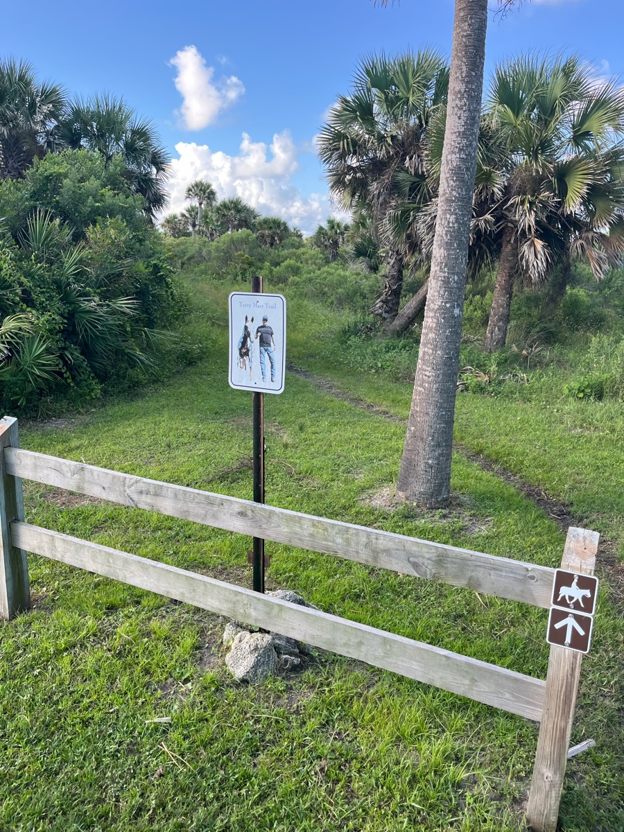
trail going around the florida horse park


From the campground - nice trail.
Broken Arrow trail
Trail head to swamp, amarmafio est to deer have
Loop around the perimeter. Lots of other tracts available throughout. Mostly barefoot friendly. Some gravel roads.
Fairy rock trails with some good soft stretches and a few of the in forest roads for long stretches. Has the super steep rocky hill climbs in there too.

Surface streets to silo trail
Mixed, Sandy and medium, flat and hillySignage 1 and 2
Very easy trail with a few jumps

Easy to moderate trails. Some short elevation gains. Fantastic water crossings.
Partial yellow bike and horse loop
End of trail not passableCulvert broken in creek
Path by road and then field and middle trail back
Where road enters water
Horse trail within Oak Openings, good terrain changes and lots of bends.

Easy short nice for first day or last dayride
Cabin-blue trail-picnic-shortcut to cabin


Rocky -grassy-up hill -down hill

Deep footing but nice and relaxing for a trail ride in the woods

Green trails, beautiful views, and the beach. What more can I say

Mountainous trail system
Mostly flat. Roots. Bobcat Rock area lots of fun.
Great with lots of shade

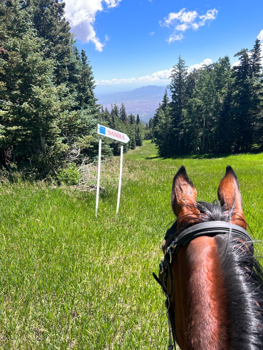
View of the valley from top Scenic Ridge

Wild River State Park - heading out of the equestrian campsite to the south.

Just outside of Bangor, Wisconsin off of county road II.
Short sandy trail then on the beach
Memorial ride with 219 riders
Well maintained, Woods, can be buggy
Richard Ravens rode with Melody

State Forest full loop.
Starting at Jousting Hill Farm arena ->eastern loop of JHF trails-> rail trail connector->rail trail south to Depot road->east along road to JHF driveway->north back to starting point. Parking is available at intersection of Rail Trail and Depot Road.
Head west out of the lot taking a trail on the left of Medford road (Les’s Alt) head down the hill across Muddy Creek. Head up the Mainline and make a left onto the trail to Fern Gulley. Head west to the clear cut. Take Fern Gulley to Camp 3 to Donna’s home.
Single file, lots of ups and downs, rocky, beautiful views! Weekends might be busy with foot race events.
Start at culdesac

Prairie and light woods
Shoes required, Rocky, creek beds, gravel road, some sections lots of brush
Blue to grey trails.
Long winding near water
Poppy to Blue oak to seven pools to Quail run to Sky ridge loop

Can be a good trail
Christine’s Tom Thumb loop


Lots of hills. Wide trail. Hard rock faces with some climbing. There are off highway vehicles that share the trail. But it was pretty desolate and absolutely gorgeous with great views of the Superstition Mountains coming back in. Large parking lot with good horse trailer parking.

rode both side of the bridge that sways started feom the south entrancehas camping at north entrance
Great footing and hilly
Need shoes, confident riders, gates are on trails that have to be pushed open, rocks, and water features

Sand, grass, woods, meadow
Great out and back canyon ride down to the river. Very rocky

Mild, forested, lovely trail. There is a shooting range some distance from the trail (not a danger to riders). On some days the sound can be loud on parts of the trail. Just be aware if your horse isn’t used to that type of noise.

Gorgeous uplands, pine flats, rolling terrain
Gorgeous flowers with Ron, Leigh, Liz and Robin
All trails in the United States
Ready to explore the best equestrian trails in the United States? Equilab offers thousands of riding routes for scenic strolls, endurance training, and more. Discover verified trail maps to find the perfect path for your next adventure, and then track your ride – all using the world's best horse riding app.
FAQ about Equilab trails
You can explore these trails and many more within the Equilab app! Simply download the app onto your mobile device, create an account, and then head to the “Track” tab. There you can view thousands of trails to discover and ride.
No, Equilab empowers equestrians everywhere to discover and ride trails for free! By creating an account within the app (no payment needed), you will be able to see and ride all public trails. Our Premium subscription offers great additional features, which you can learn more about here.
You can control the visibility of any trails you create using Equilab by selecting different privacy options when saving the trails. If you choose to make a trail "Public", it will be visible here on our website and to anyone using the app. Private trails, on the other hand, are only visible to you and (if you're a Premium user) anyone you share them with. Note: If you rode on private property, we strongly recommend saving your trail as "Private".
Equilab’s list of trails currently only includes those that have been tracked by riders using the Equilab app. As a result, there are still many trails not yet included in our platform. Anyone can track trails and add them for free, however — giving you the chance to help others discover new places to ride!
Yes! You can add a trail from any ride you track using the Equilab app. To so, simply download the app, create an account, then record your ride on the trial.
Note that to create a trail, the ride must be at least 0.6 miles long, have taken at least 5 minutes, and must not have been tracked within an arena.
Our community members have added more than 35,000 public trails, and new ones are added every day. We hope you enjoy exploring them!

Contact our team
Feedback & Help
support@equilabapp.com
Press and Partnerships
marketing@equilabapp.com
Business Inquiries
admin@equilabapp.com


