


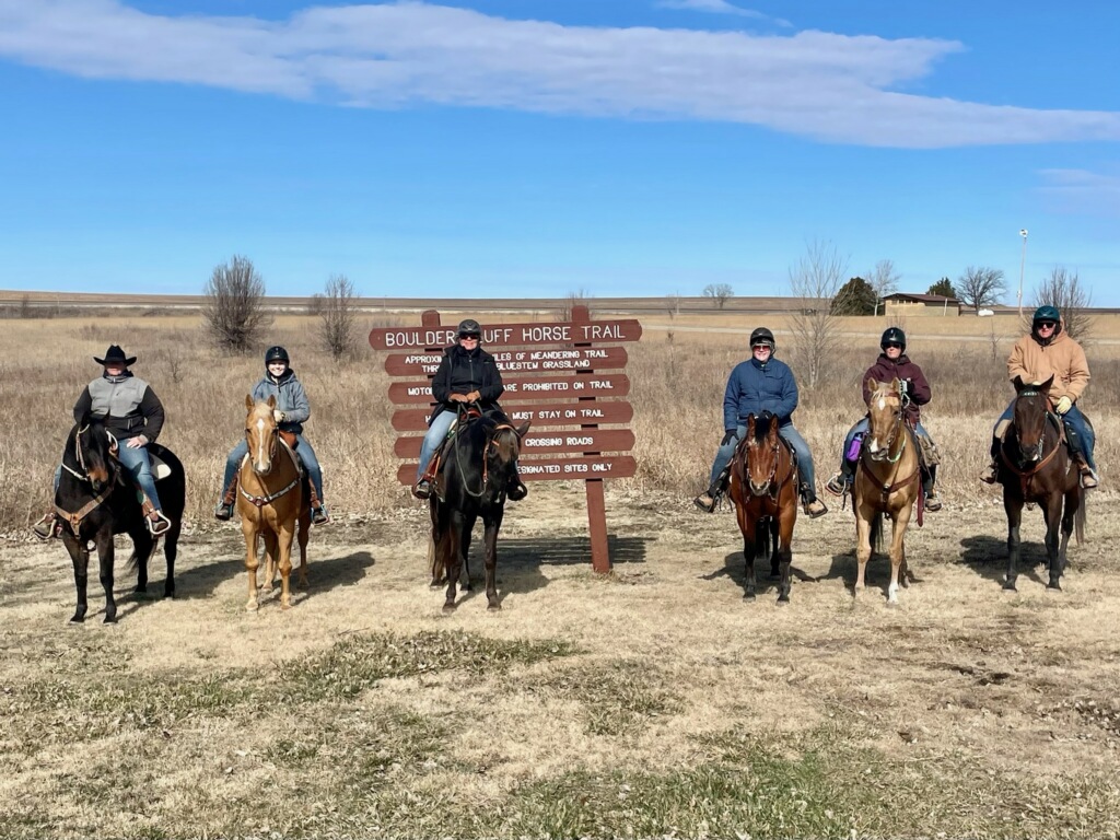
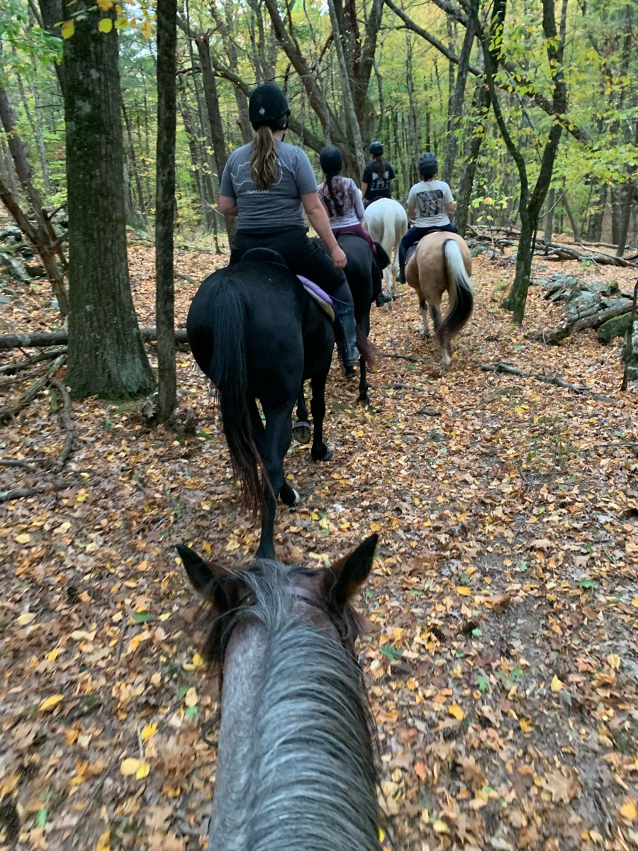
All horse trails in the United States


Ready to explore the best equestrian trails near you? Equilab offers thousands of riding routes for scenic strolls, endurance training, and more. Discover verified trail maps to find the perfect path for your next adventure, and then track your ride – all using the world's best horse riding app.
Most popular trails


Numerous trails to end up at Stuart Camp, and then wildcat Beach Ôøº
Short loop easy warm up ride
Almost all the trails at the Allen County Horse Trails


Beautiful trail that meanders and loops around the preserve


Hilly with some steep elevation changes on the hill but very flat on the main trail
South side very up and down, somehow missed the turn off to the Bizz earlier

Trail through the van Bibber creek open space
Solid sand trail
Shaw Tri Lakes to King Lake. Great for horse training and muscle building.
Very rocky with some patches of soft pine straw trails

Sandy, lots of tree roots
Narrow on Pinehollow; nice tracks elsewise
Some long hills but plenty of flatter areas too. A great mix.
Lots of hedge trees with thorns
Sand pines water
Equine & pedestrian friendly. No dogs allowed
Peralta regional park
Equine spot at Browns hole

One section of trails
Wide 2 track up Santan up to rocky single track Stargazer then over to open 2 track Moonlight then connect to 2 track San tan and head back on 2 track service toad
WMF North Country


Great trail. Over 2 hours of the full round.
Shared private property
Orange to Clark Creek rd Green to left on RedRed to Blue short trail Blue to Yellow. Yellow to parking lot
Gravel cool down trail
Green lake ride only open to paid members of Waterloo at certain times of the year
Beautiful easy flat trails!
Pines, Carolina jasmine vines !
Entrance to the Reservoir then Lucky 7 and back
Lots of downed trees. Rise and fall of elevation
Bridle path into the woods and fields
Riverbed shade nice ride
End of trail will be very muddy after rain
Lots of areas to ride

Fun and beginner safe

Mountain Trail
Up and over to spooky house
No water; Long Gravel Rd., Drive here. Spectacular outlook though. Mostly a dirt road. A fair amount of slick rock.
Dirt road from my farm to archer road and then back around on the next dirt road to the back of the property
Sagebrush with rolling hills, lots of sandy areas with some rocks

Hilly ... not too rocky
20 miles of extremely well maintained trails

Grassy meadows, water crossings, steep climbs, flat areas, rocky areas, woods.
Tina’s start 50 first Jacktown 50 again reversed side field
5.4 miles some bugs
Awesome ride with Sharon and James

Changes of elevation and great areas for sprints

Start out along a cornfield then into the woods high above Blue Marsh Lake.

Fun by the river

Easy trail one water crossing
Premier jour sentier à partir du dîner
Hills, sand, pasture
Beautiful. Sage and meadows

Hills, sandy and some rocky patches

Just a nice trail Ôøº
All trails in the United States
Ready to explore the best equestrian trails in the United States? Equilab offers thousands of riding routes for scenic strolls, endurance training, and more. Discover verified trail maps to find the perfect path for your next adventure, and then track your ride – all using the world's best horse riding app.
FAQ about Equilab trails
You can explore these trails and many more within the Equilab app! Simply download the app onto your mobile device, create an account, and then head to the “Track” tab. There you can view thousands of trails to discover and ride.
No, Equilab empowers equestrians everywhere to discover and ride trails for free! By creating an account within the app (no payment needed), you will be able to see and ride all public trails. Our Premium subscription offers great additional features, which you can learn more about here.
You can control the visibility of any trails you create using Equilab by selecting different privacy options when saving the trails. If you choose to make a trail "Public", it will be visible here on our website and to anyone using the app. Private trails, on the other hand, are only visible to you and (if you're a Premium user) anyone you share them with. Note: If you rode on private property, we strongly recommend saving your trail as "Private".
Equilab’s list of trails currently only includes those that have been tracked by riders using the Equilab app. As a result, there are still many trails not yet included in our platform. Anyone can track trails and add them for free, however — giving you the chance to help others discover new places to ride!
Yes! You can add a trail from any ride you track using the Equilab app. To so, simply download the app, create an account, then record your ride on the trial.
Note that to create a trail, the ride must be at least 0.6 miles long, have taken at least 5 minutes, and must not have been tracked within an arena.
Our community members have added more than 35,000 public trails, and new ones are added every day. We hope you enjoy exploring them!

Contact our team
Feedback & Help
support@equilabapp.com
Press and Partnerships
marketing@equilabapp.com
Business Inquiries
admin@equilabapp.com


