


All horse trails in the United States


Ready to explore the best equestrian trails near you? Equilab offers thousands of riding routes for scenic strolls, endurance training, and more. Discover verified trail maps to find the perfect path for your next adventure, and then track your ride – all using the world's best horse riding app.
Most popular trails


Meadow trail to duck pond from arena parking
Trail heads behind MCWR arena. Trails are fairly wide and mostly dirt paths. It’s quite hilly, but not too rocky or steep.
Multiple short trails with gates, bridges and creek crossings next to frisbee golf course. 2 spots for trailer parking. Manure bunker. $7 parking fee
Sandy trail . Wooded. Need to cross a road

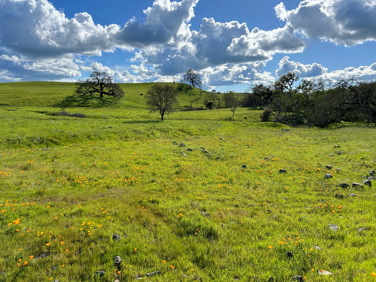
Hilly, rocky in some spots, over all one of my favs
Flume trail alongside Del dios. Some road crossings
Very pretty well-known trail around where I liveÔøº

Fields double track little streams

A wonderful Hunter pace for my birthday up in Pittstown
Ride out on the road that passes Cowboy camp (Medford) pass the camp and take the first trail on the right (Cranberry Lake Trail). Cross the lake and hook a right. Theres a few other trails along the way, but follow this map and you’ll make it back to camp just fine.

Longleaf Pine to Fox Squirrel to Wiregrass
Blackwater state forest
East Fork State Park Batavia, Ohio

3/4 of a mile around the Sanctuary.
River crossing 4 times Sandy trails
When parking use the marked green & yellow trails to the left of the park lot. The other side is basically a fire break.
5.5 mile big loop and short small loop
Up and down lots of logs
Great conditioning loop, up and down hill, water crossings
Dirt Road parallel to Philema Rd, connecting White Pond to Thundering Springs
Road row and woods. Aircraft frequent.
Mixed, rock, mud, road, wooded trail

Follows river then back through woods to trail tail
Beautiful well groomed trails

fairly easy trail. very beautiful views
Packed dirt and mild rock except for Cresta trail (heavy rock)

Nice ride from the American Legion. Combination of shade, Levy, sand, bamboo, and water crossings. Ôøº
From the parking lot, down the big hill, turn right, walk along the river till you get the the fork in the trail. Turn around and head back where you came from.

Beautiful trail. The signs are new and really helped. Parts are very overgrown with trees down and we had to turn around before making it to the river. Main trails are in great condition
Nice footing mostly sand and sandstoneUps and downs. Good conditioning trail.
Spider kingdom 4mile loop
Tulip and red trail

Steep, gorgeous, very poor signage. At the t go left, not right to the peak


Start from drew’strail down malito, back up willow. :)
New trail across clear cut by seed farm connects trails back upJamie & me couple weeks ago then kolu & me finished Saturday. Look for green & pink ribbons. Will need to start clipping black berry vines back so carry clippers.
Santan to stargazer to moonlight
Gettysburg artillery campground trail

Confusing lack of signs… get off track🥴
Beginner friendly trails. Rocks, sand and mud footing

Water hills 2 tracks
Dirt Road,trail, forest road
To the beer joint
Gravel double-track. Gentle hills. Hikers, bikers, view of boats on the water below.
Super fun trail. Lots of fields along the path

Marked with blue and white circles. Some red circles too.
Part of Oak Creek trail

Sandy, some hills, beautiful views. Partially shared with ATV
Loop north of twin orchards farm. Muddy trails after rain with some big puddles.
Nice trail love the canopy
Trying to find the fields, but didn’t


4 way broke nose huddle highland gross close


Partial open, partially wooded
Is a mixture of Big Valley, Jigsaws Jamboree and Memory Lane
Pilchuck Tree Farm Bracken trail ride 2
Wooded trail crosses road
No So to Blevins to Cat Peak to Pass Mountain then Talon down to Chain fruit and back on Blevins.Some steep ravine crosses on Pass Mtn and inclines but mild on remainder of trails
Trail has some hills, fairly rocky and there are lots of stretches to trot and canter.
All trails in the United States
Ready to explore the best equestrian trails in the United States? Equilab offers thousands of riding routes for scenic strolls, endurance training, and more. Discover verified trail maps to find the perfect path for your next adventure, and then track your ride – all using the world's best horse riding app.
FAQ about Equilab trails
You can explore these trails and many more within the Equilab app! Simply download the app onto your mobile device, create an account, and then head to the “Track” tab. There you can view thousands of trails to discover and ride.
No, Equilab empowers equestrians everywhere to discover and ride trails for free! By creating an account within the app (no payment needed), you will be able to see and ride all public trails. Our Premium subscription offers great additional features, which you can learn more about here.
You can control the visibility of any trails you create using Equilab by selecting different privacy options when saving the trails. If you choose to make a trail "Public", it will be visible here on our website and to anyone using the app. Private trails, on the other hand, are only visible to you and (if you're a Premium user) anyone you share them with. Note: If you rode on private property, we strongly recommend saving your trail as "Private".
Equilab’s list of trails currently only includes those that have been tracked by riders using the Equilab app. As a result, there are still many trails not yet included in our platform. Anyone can track trails and add them for free, however — giving you the chance to help others discover new places to ride!
Yes! You can add a trail from any ride you track using the Equilab app. To so, simply download the app, create an account, then record your ride on the trial.
Note that to create a trail, the ride must be at least 0.6 miles long, have taken at least 5 minutes, and must not have been tracked within an arena.
Our community members have added more than 35,000 public trails, and new ones are added every day. We hope you enjoy exploring them!

Contact our team
Feedback & Help
support@equilabapp.com
Press and Partnerships
marketing@equilabapp.com
Business Inquiries
admin@equilabapp.com


