All horse trails in the United States


Ready to explore the best equestrian trails near you? Equilab offers thousands of riding routes for scenic strolls, endurance training, and more. Discover verified trail maps to find the perfect path for your next adventure, and then track your ride – all using the world's best horse riding app.
Most popular trails


Rocky, beautiful views


Ride from Gillespie ranch to the working pens and back. Add .4 miles since I forgot to turn on the tracker at the barns


Sandtown trail is included.


Red to green to blue to parking


Long trail on horseback, lots of hills, roots, and jumps


Wooded. Some two track


Down to the river, then upper riding, back to the river on another entrance, then back to camp


Very very rocky , lots of down hills. Only hard cause of lots of rocks


Onto blm back to tab road cut across north before parking lot and back to road that leads to Coal Creek


Very pretty well-known trail around where I liveÔøº


Staged in Leonard. Road block.
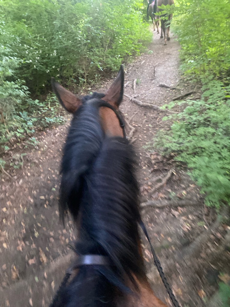


Up passed the tree house over to Bells mill and on forbidden drive


Mohican Red Blue loop


Nice woods start and then 1 mile dirt road to entrance to trail. Nice somewhat technical woods trail curves and some ups and downs


This takes you through the airline trail, some bike trails through the woods, and part of the We-Li-Kit ice cream ride. Much of the terrain is soft. There are areas of rocks that you may want boots or shoes on your horse. There are plenty of areas to trot and canter.


https://www.landheritageinstitute.comOnly open on some Saturday’s. Check website for open days


Bryce Canyon area trail


More of a route.


Ponderosa and big loop


Standard loop, easy out and can run home if wanted. Nice fun little ride.


Rugged 22 to 26 mile ride.


Hard trail with newbies


Wooded, small hills, creek crossings- clearly marked


Side of road and through long key trails


Just tall grass and horses


5.5 mile big loop and short small loop


Just off of Old Bay Road.


This is a very simple ride, but your horse needs to be in shape. The majority of it is uphill. Especially at the halfway point the incline gets greater. Nothing that’s hard to do, but if your horse is out of shape. They will definitely be huffing and puffing and sweating.


Easy to low moderate. Some rocky segments


Narrow on Pinehollow; nice tracks elsewise


Easy/ moderate terrain


Flat, sandy, some wet spots. Overall great ride


So nice a little busy after the bridge it's single wide
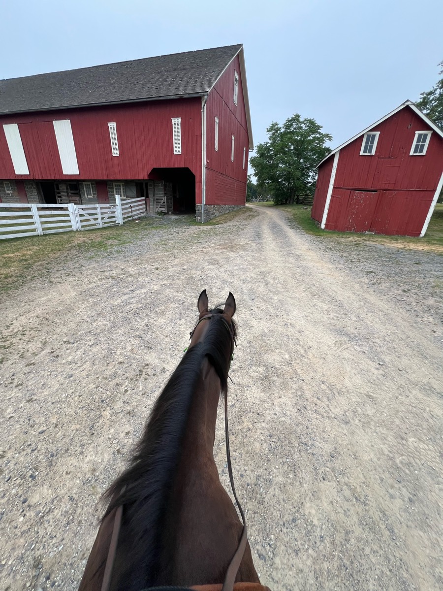


Begins at Artillery Ridge Campground (Horse Trailer Parking for campers only) Connector Trail Only - Dead Ends at ARCPublic parking at McMillan WoodsIncludes seasonal closure section - This part of the trail is closed to horses on weekdays only:April, May and October.
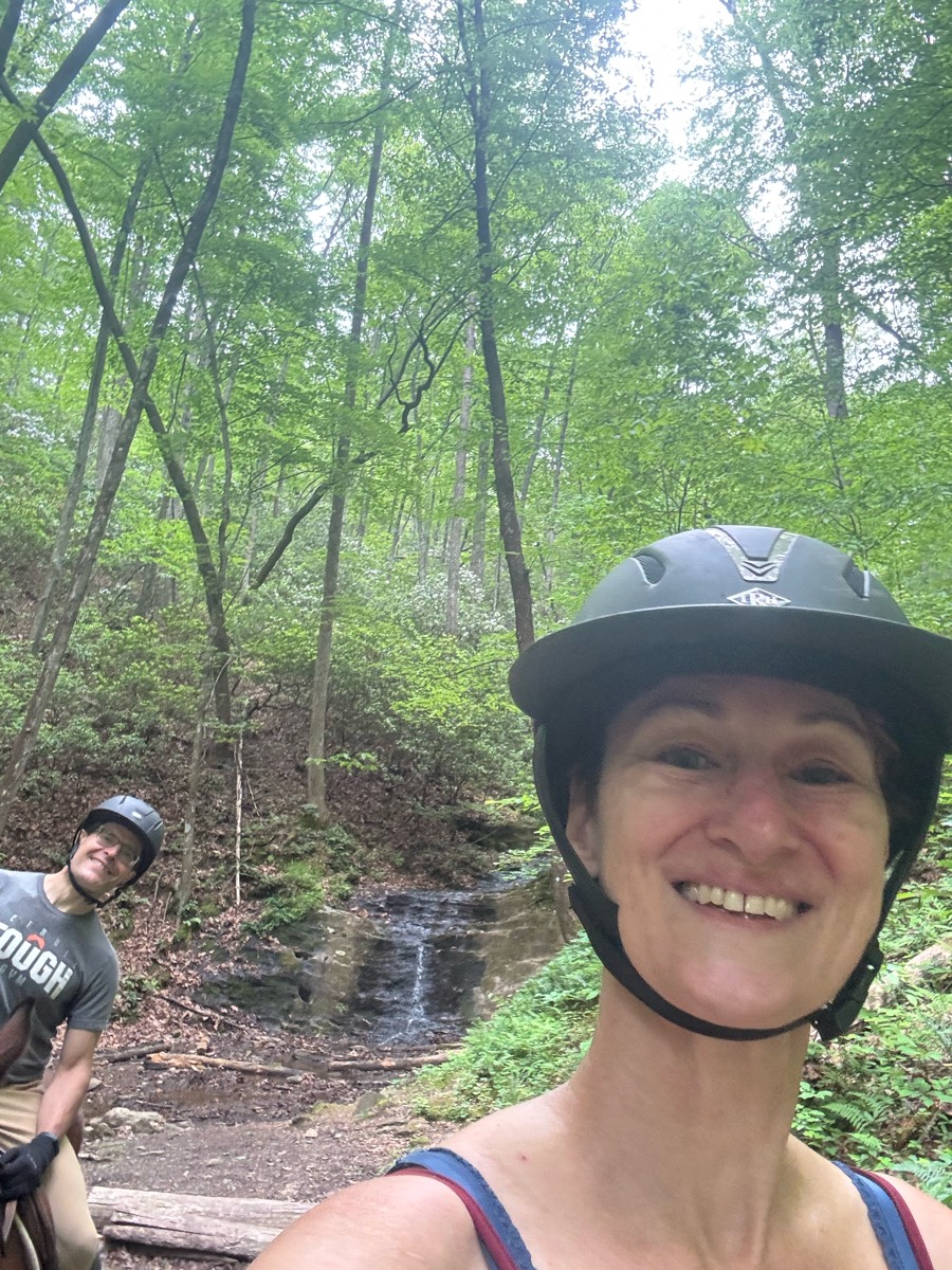


To the waterfall and back


No town sinkhole path back


Lake loop with extension near cemetery


Monika and Anne with me on Derby


Taking the roads to Kathy's pond


Pavement into rolling dirt roads over hills through wheat fields


Wide with some slopes and 3 water crossings


many miles of beautiful trails and a couple of obstacle courses. Fun place.
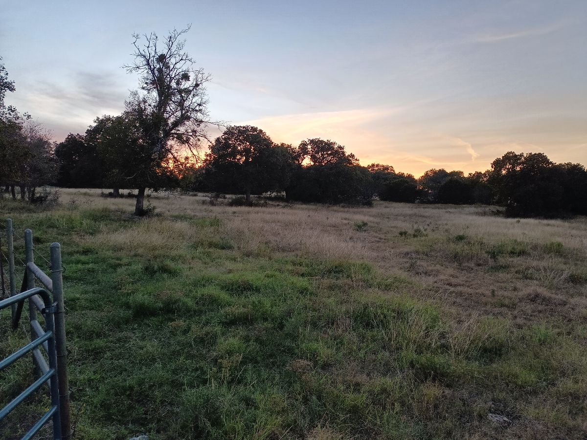


Varied from smooth and grassy to heavy woods and two lane dirt roads.


Not for the faint of heart! Sure footed horse suggested. Steep hill climbing in 2 spots, but the views are worth it.


Love the trails here, there was great damage Thanks to Helenna but they have work hard on clean up. Trails are good


Eagle Foothills trail; UP & DOWN


Seahorse Acres beach ride


Street with some trail


From stables to paddocks to vineyards.


Trail along river Dr- fire road.


Dirt Road parallel to Philema Rd, connecting White Pond to Thundering Springs
All trails in the United States


Ready to explore the best equestrian trails in the United States? Equilab offers thousands of riding routes for scenic strolls, endurance training, and more. Discover verified trail maps to find the perfect path for your next adventure, and then track your ride – all using the world's best horse riding app.
FAQ about Equilab trails
You can explore these trails and many more within the Equilab app! Simply download the app onto your mobile device, create an account, and then head to the “Track” tab. There you can view thousands of trails to discover and ride.
No, Equilab empowers equestrians everywhere to discover and ride trails for free! By creating an account within the app (no payment needed), you will be able to see and ride all public trails. Our Premium subscription offers great additional features, which you can learn more about here.
You can control the visibility of any trails you create using Equilab by selecting different privacy options when saving the trails. If you choose to make a trail "Public", it will be visible here on our website and to anyone using the app. Private trails, on the other hand, are only visible to you and (if you're a Premium user) anyone you share them with. Note: If you rode on private property, we strongly recommend saving your trail as "Private".
Equilab’s list of trails currently only includes those that have been tracked by riders using the Equilab app. As a result, there are still many trails not yet included in our platform. Anyone can track trails and add them for free, however — giving you the chance to help others discover new places to ride!
Yes! You can add a trail from any ride you track using the Equilab app. To so, simply download the app, create an account, then record your ride on the trial.
Note that to create a trail, the ride must be at least 0.6 miles long, have taken at least 5 minutes, and must not have been tracked within an arena.
Our community members have added more than 35,000 public trails, and new ones are added every day. We hope you enjoy exploring them!


