


All horse trails in the United States


Ready to explore the best equestrian trails near you? Equilab offers thousands of riding routes for scenic strolls, endurance training, and more. Discover verified trail maps to find the perfect path for your next adventure, and then track your ride – all using the world's best horse riding app.
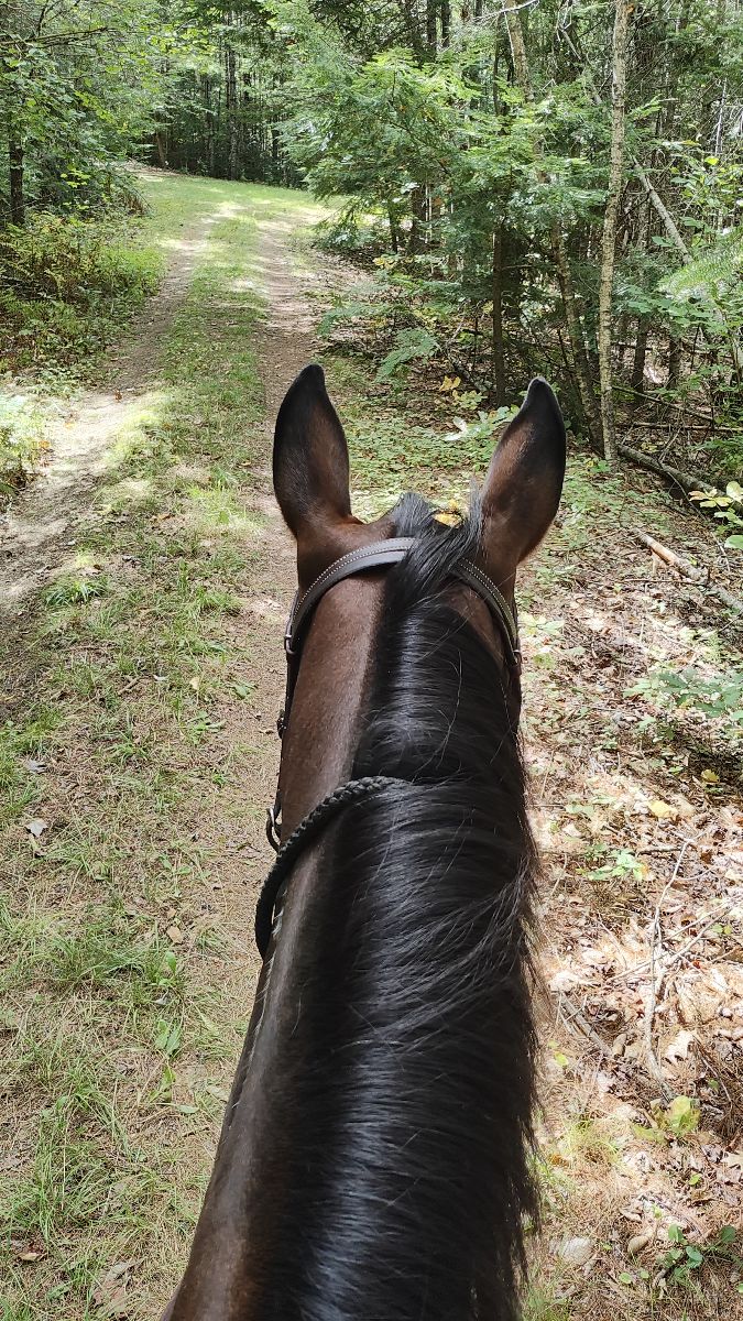
Most popular trails


Horse loop - back tracked to re ride a couple nice parts

Well marked trails
Nice and shady rode by creeks

Up and downs nice and quiet
Lots of campers hiking, small creek crossings, long stretch of flat ground for running.

Park along Zeibright Rd and pick up the trail. Currently can't ride the whole Pioneer Express Trail since the straightening of highway 20. Trail is not maintained in some areas since it's not well used

7 mile loop. Begins to the left of camp

Sandy, well marked

Easy all paved roads nice shoulder
Sandy trail with short hill climb
Sky Meadow State Park Equestrian Trails, both sides of route 17, including the mountain.Ôøº
Very nice trail. Some small inclines.
Hill to start and gradual the remainder of the way up and down and hill to exit trail
Beautiful trail, some steep inclines, multiple creek crossings
Rugged lots of ups and downs

The Plum Creek Trail connects the Lower Plum Creek Campground to the Windmill Campground while winding through meadows, climbing bluffs, and dipping down into creekbeds.WARNING ⚠️ This trail is poorly marked and has been completely grown over in multiple places.
Highland Park North
Nice easy walk around the horse lake. Some hills. Two bridges, and occasionally a small creek crossing
Lots of nice sandy trails, small amount of rock while going uphill.
Bandy Canyon Rd, Escondido, CA 92025

Found hidden pond and old overgrown road bed
Switchback to Park then 125 Bridge and Conduit

Nice short steep trail

Hacking to the entrance of Appleton Farms from HiRok Farm.
Power lines, lots of sun, national forest

East Fork Waterfall Loop
Nice easy trails with lots of loops
Easy, up to 20 miles possible
River, roads and bridges


Started across dam, then cross back and down to river bed to water.üí
Very hilly and trees
Camp McClellan

Difficult trails, some sections are very rocky.
Good run, woods, creek crossings, meadows
Easy, rode width, one creek crossing

Sandy trail with places to move out


Flat, rocky areas, water access, wildlife abundance.
Good training ride
Paved and gravel wide paths


Rocky and muddy due to rain

Nice trails, mostly wooded, some mild wet spots, some gravel road to get to trails, some marsh areas. Easy footing, some flats, some small hills.
Sandy, little shade, not marked well

Some rocks and a couple significant hills

Soft terrain with water

Proceeding to frost pocket. Then Cleveland lake rd to old number 4 trail. Back to proceeding and to the cabin.
Snowmobile trail. Some muddy areas. Decent footing though there are some rocky areas. Would recommend boots. Trail head is off of Bisco Road.
Goes along 301 and housing complex
So fun fell twice

Rocky and shaded . Up hill

Gilber neighborhood mostly asphalt
All trails in the United States
Ready to explore the best equestrian trails in the United States? Equilab offers thousands of riding routes for scenic strolls, endurance training, and more. Discover verified trail maps to find the perfect path for your next adventure, and then track your ride – all using the world's best horse riding app.
FAQ about Equilab trails
You can explore these trails and many more within the Equilab app! Simply download the app onto your mobile device, create an account, and then head to the “Track” tab. There you can view thousands of trails to discover and ride.
No, Equilab empowers equestrians everywhere to discover and ride trails for free! By creating an account within the app (no payment needed), you will be able to see and ride all public trails. Our Premium subscription offers great additional features, which you can learn more about here.
You can control the visibility of any trails you create using Equilab by selecting different privacy options when saving the trails. If you choose to make a trail "Public", it will be visible here on our website and to anyone using the app. Private trails, on the other hand, are only visible to you and (if you're a Premium user) anyone you share them with. Note: If you rode on private property, we strongly recommend saving your trail as "Private".
Equilab’s list of trails currently only includes those that have been tracked by riders using the Equilab app. As a result, there are still many trails not yet included in our platform. Anyone can track trails and add them for free, however — giving you the chance to help others discover new places to ride!
Yes! You can add a trail from any ride you track using the Equilab app. To so, simply download the app, create an account, then record your ride on the trial.
Note that to create a trail, the ride must be at least 0.6 miles long, have taken at least 5 minutes, and must not have been tracked within an arena.
Our community members have added more than 35,000 public trails, and new ones are added every day. We hope you enjoy exploring them!

Contact our team
Feedback & Help
support@equilabapp.com
Press and Partnerships
marketing@equilabapp.com
Business Inquiries
admin@equilabapp.com


