


All horse trails in the United States


Ready to explore the best equestrian trails near you? Equilab offers thousands of riding routes for scenic strolls, endurance training, and more. Discover verified trail maps to find the perfect path for your next adventure, and then track your ride – all using the world's best horse riding app.
Most popular trails


Nice trail not super hard.
Some small hills, but a good challenge to trot up

A very nice trail with some rocks and steps but was pretty easy over all.


Loop trail which includes part of the full Blue Marsh loop trail. Combo of single track and fields. Start is busy, but around a mile or 2 in, typically only run into horses and bikes. Hunting is allowed. Parking lot is used by those hunting with dogs. No issues with hunters.
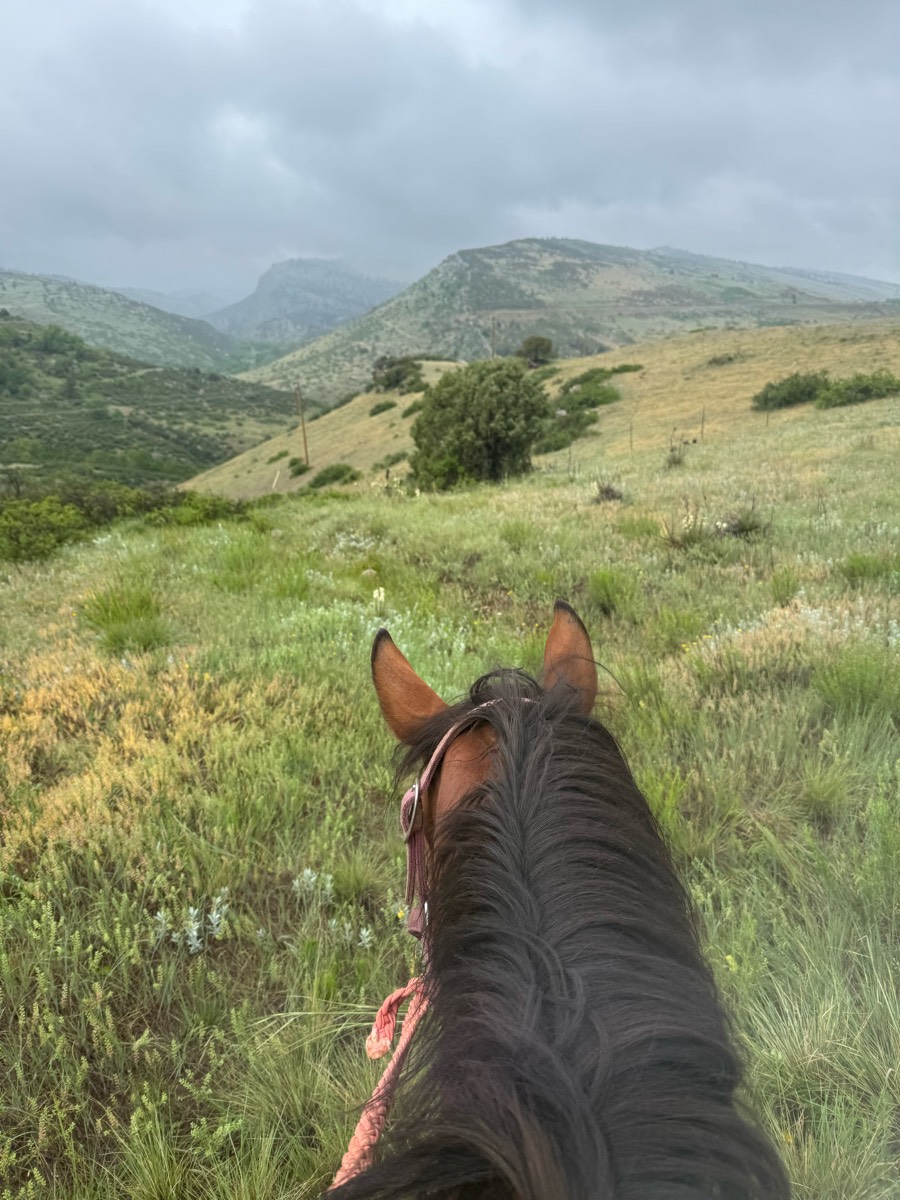
Wide trail!! Beautiful views

Up hill down hills flat fire roads and single track
Yellow trail from Horsemen's
Ride S on beach to jetty.Rode inland to jetty road N, back to horse camp.
Kisatchie National Forest. 17 mile loop on green trail. Hoof protection needed for rocks.


Great loop for sustained long trots. Not much hill or elevation work though.
muddy and wet lots of hills

Jacks lakes to head back into the valley.
Gray dismount gate
PTRA Parade Prep Route that follows a section of the Rock Isalnd Line Rail Trail, cuts through a hostoric neighborhood and then returns down Historic Route 66

Good footing, good for loping, walking, running, training.Bikers and walkers around.

Slightly rocky, parking at fairgrounds
Some wet but beautiful creek views

Somethins better than nothin! Very muddy
Easy with some technical if wanted
Hilly with some rocks.

Great loop. Probably 50/50 sun and shade. Don’t remember any rooty or rocky parts.
Ignore the side spurs Ôøº
Long stretches for cantering and trotting

Straight gravel road with hills

Go left 3/4 on the rd, then hit the sandy edge of the rd. 1/4 mile. Then, walk down the road right to the trail. Trails are sandy, shared with atv's, bikes, and people. Sage brush and wild juniper trees line the trails. You may see some junk on trails. Gradual sloping trails.

Easy Pisgah ride with most of the ride being flat with one bigger hill. Mostly decent footing with areas of bigger rocks. Part of the ride was on asphalt on the way back. Not super busy but did pass some hikers with dogs on and off leash.

Awesome ride! Park in the Northern Parking lot! Plenty of space for large trailers.

Trails and cow pastures
Nice trail that merges with hiker trail.
At least 1/2 - 3/4 on dirt road very little shade

BSF - Very pretty ride, with good elevation change.
Ponderosa and big loop around the neighborhood

Along Deer Creek and train tracks

Climb to Golden Gate Bridge lookout

Great trail with tiny gravel road need shoes
Sandy and some rocks. Easy trail good parking

Lots of hills. Some rocky areas. Super nice ride and close yo home!

Hills but moderate
River crossing, through trees and on some main roads and little bit rocky terrain

Sandy washes, hilly, rocky some roads
Crossed to shallow Ish water traps
River up to Hangglider and back
Down cinder road and to blue loop….then back up to mansion.
Up red, green, purple, steps, purple, back
Flat & open roads, forest with no creek access

Slightly sloping, mostly gravel and dirt. Some rocky spots. Nice and wide trail.

Most trails aren’t very wide but they were easy to maneuver and had a good couple hour ride.

Two loops equaling approximately 9 miles. Some flat, some hills. Nice relaxing ride through the woods.
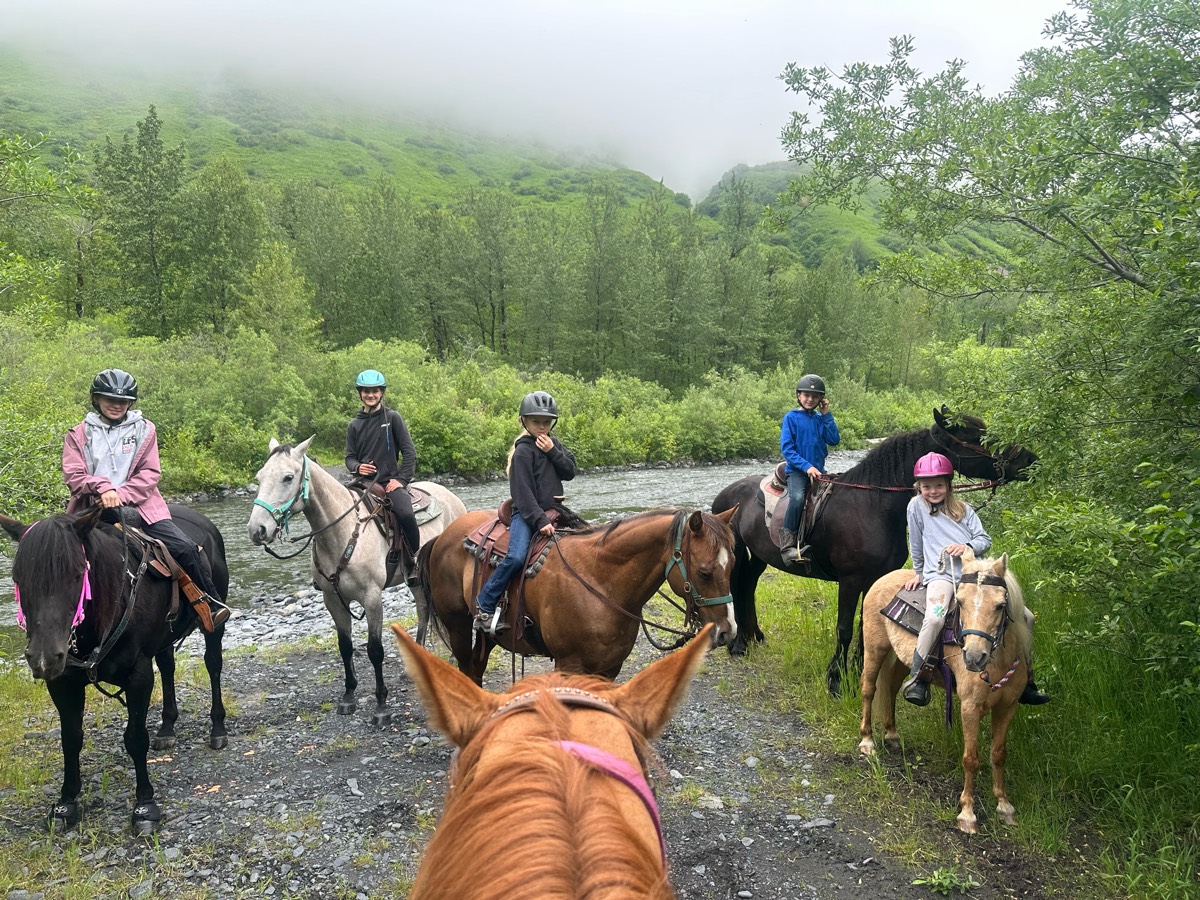
Louise and Wyatt, mounting chaos!
Goes behind Sweet Sunday and Harwood, down to the river and back to the parking area.

All trails in the United States
Ready to explore the best equestrian trails in the United States? Equilab offers thousands of riding routes for scenic strolls, endurance training, and more. Discover verified trail maps to find the perfect path for your next adventure, and then track your ride – all using the world's best horse riding app.
FAQ about Equilab trails
You can explore these trails and many more within the Equilab app! Simply download the app onto your mobile device, create an account, and then head to the “Track” tab. There you can view thousands of trails to discover and ride.
No, Equilab empowers equestrians everywhere to discover and ride trails for free! By creating an account within the app (no payment needed), you will be able to see and ride all public trails. Our Premium subscription offers great additional features, which you can learn more about here.
You can control the visibility of any trails you create using Equilab by selecting different privacy options when saving the trails. If you choose to make a trail "Public", it will be visible here on our website and to anyone using the app. Private trails, on the other hand, are only visible to you and (if you're a Premium user) anyone you share them with. Note: If you rode on private property, we strongly recommend saving your trail as "Private".
Equilab’s list of trails currently only includes those that have been tracked by riders using the Equilab app. As a result, there are still many trails not yet included in our platform. Anyone can track trails and add them for free, however — giving you the chance to help others discover new places to ride!
Yes! You can add a trail from any ride you track using the Equilab app. To so, simply download the app, create an account, then record your ride on the trial.
Note that to create a trail, the ride must be at least 0.6 miles long, have taken at least 5 minutes, and must not have been tracked within an arena.
Our community members have added more than 35,000 public trails, and new ones are added every day. We hope you enjoy exploring them!

Contact our team
Feedback & Help
support@equilabapp.com
Press and Partnerships
marketing@equilabapp.com
Business Inquiries
admin@equilabapp.com


