All horse trails in the United States


Ready to explore the best equestrian trails near you? Equilab offers thousands of riding routes for scenic strolls, endurance training, and more. Discover verified trail maps to find the perfect path for your next adventure, and then track your ride – all using the world's best horse riding app.
Most popular trails


Mostly road and beautiful views


Mountainous trail system


Gorgous trail along the river and though park. Route along river for experienced riders as there are low limbs and a few “hazards” inexperienced riders can bypass and take road. Beautiful park and ride


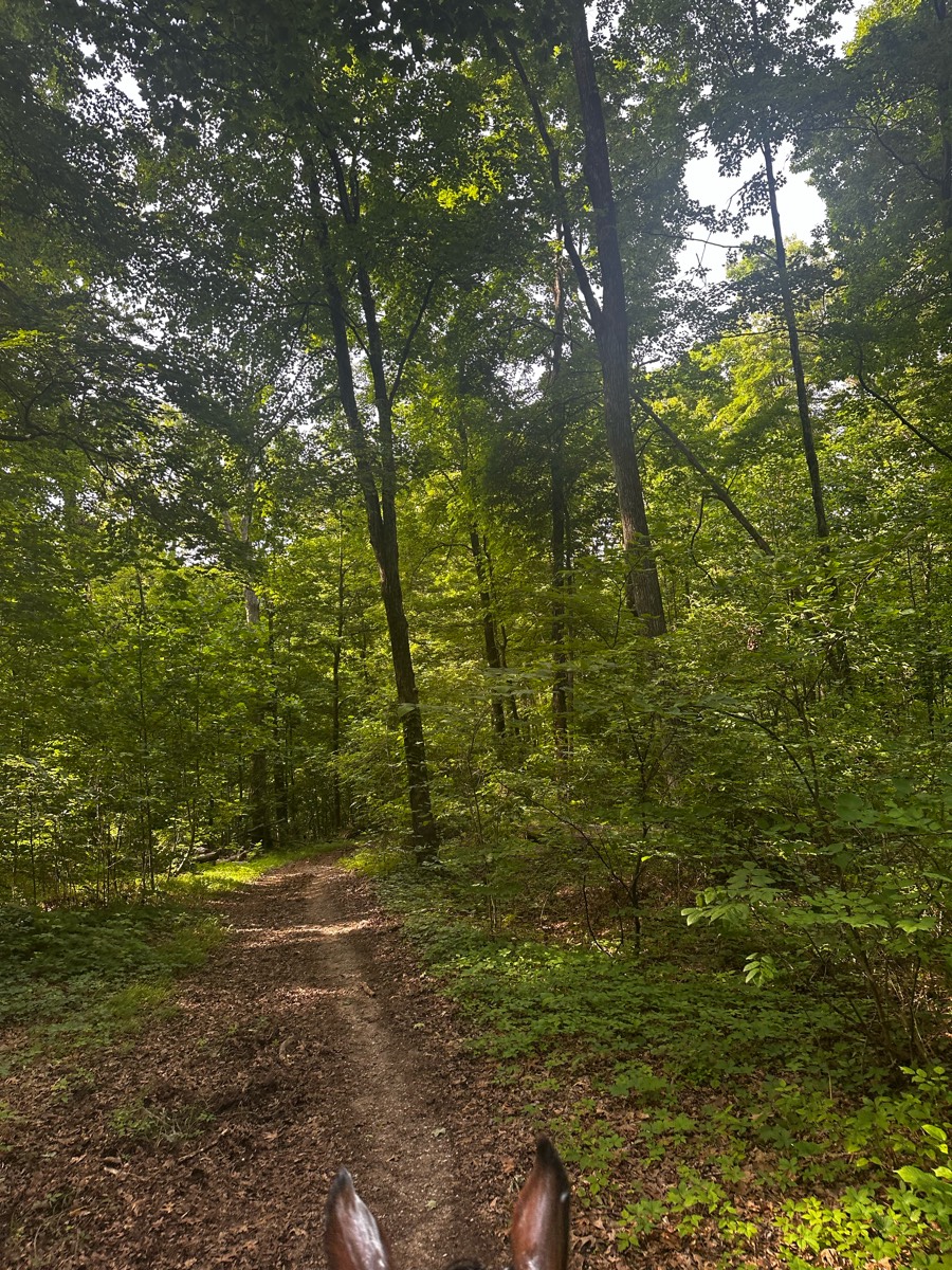
Wooded trails, very shady


Gettysburg artillery campground trail


Little bit of everything


Turns back near gun range


Go down road and take right to first set of corrals. Trail is riding left up road then I think right onto a trail. When get to a Y go straight to get to river. We did not go straight so map will not match from that point. Encountered a group of cyclists on way back but calm most.


Metropark cross roads parking at archery


Start and end at Elkins creek-Kimble loop


Gravel road at the start with a good elevation gain. Rest of the trail is very nice single track with some great boardwalk bridges and spectacular views.


Really pretty views and decently easy. Lots of rocks and slopes


Avoiding creepy guy


Saw mill trail head to grindstone stable. Like a roller coaster ride. Lots of up and down.


Beautiful desert scenery. Rocky in places.


Easy Pisgah ride with most of the ride being flat with one bigger hill. Mostly decent footing with areas of bigger rocks. Part of the ride was on asphalt on the way back. Not super busy but did pass some hikers with dogs on and off leash.


2.25 hour loop at walk


Great mix of footing. Only one area before the sand hills that had a lot of unavoidable rock for about 40 yards and a total of 200 yards that can be avoided. High elevation in the hills and deep sand and cacti. No shade the hills. But lots of beautiful wooded areas all around.


ASSUNPINK UPPER FREEHOLD NJ


Justa Rd trailer parking. Trail is very busy at the beginning, but things out after about 1.5 miles. Hilly. Mix of logging Rd and single track. Plenty of water spots.


Loop from pasture barn around the staging area parking lot and back.


Some wet spots, rocky spots, creek crossings


Deam Lake Trail and Three Hills Trail


Blister Sisters


Flat, wide, muddy. Easy.


Concrete with grass sides wide enough to ride


Single track jumping up and down rock ledges
All trails in the United States


Ready to explore the best equestrian trails in the United States? Equilab offers thousands of riding routes for scenic strolls, endurance training, and more. Discover verified trail maps to find the perfect path for your next adventure, and then track your ride – all using the world's best horse riding app.
FAQ about Equilab trails
You can explore these trails and many more within the Equilab app! Simply download the app onto your mobile device, create an account, and then head to the “Track” tab. There you can view thousands of trails to discover and ride.
No, Equilab empowers equestrians everywhere to discover and ride trails for free! By creating an account within the app (no payment needed), you will be able to see and ride all public trails. Our Premium subscription offers great additional features, which you can learn more about here.
You can control the visibility of any trails you create using Equilab by selecting different privacy options when saving the trails. If you choose to make a trail "Public", it will be visible here on our website and to anyone using the app. Private trails, on the other hand, are only visible to you and (if you're a Premium user) anyone you share them with. Note: If you rode on private property, we strongly recommend saving your trail as "Private".
Equilab’s list of trails currently only includes those that have been tracked by riders using the Equilab app. As a result, there are still many trails not yet included in our platform. Anyone can track trails and add them for free, however — giving you the chance to help others discover new places to ride!
Yes! You can add a trail from any ride you track using the Equilab app. To so, simply download the app, create an account, then record your ride on the trial.
Note that to create a trail, the ride must be at least 0.6 miles long, have taken at least 5 minutes, and must not have been tracked within an arena.
Our community members have added more than 35,000 public trails, and new ones are added every day. We hope you enjoy exploring them!


