


All horse trails in the United States


Ready to explore the best equestrian trails near you? Equilab offers thousands of riding routes for scenic strolls, endurance training, and more. Discover verified trail maps to find the perfect path for your next adventure, and then track your ride – all using the world's best horse riding app.
Most popular trails


Gravel road to cow trails, Multiple creek crossings, multiple campgrounds about halfway through, cattle country, ponds on/right off trail. This is our cow push route


9 Mile Loop from day use area

Conditioned horse. Lots of climbing hills
Randolph Siding, construction

Rocky..shooting range
Bluff City, TN. Very hilly. Gravel and asphalt. Need shoes.

Arrow and Colt ride around the block
Larry’s-home-indian-Walmart-Megan(going up the steep hill on Megan)
Moderate to Easy

Beautiful trail that passes through big meadows. There is a waterfall directly beside the trail.
Beautiful woods trails with some hills
Easy moderat difficult in sections

Both trails rocky some steepness in places tight turns lots of big rock well marked


Public trail that goes around Prague lake in oklahoma. Has training areas for bridges, stairs, tunnels.
Rolling fire roads and some single track, a few steep inclines. Nice footing, marking 'moderate' for the elevation changes and amount of mountain bikers
Barefoot friendly trail that goes through woods, meadows, and along the lake.
Hills, shells and sand
Rocky riverbed, valley - beautiful!
Sky Meadow horse trails (West Side of 17)

Long trail with several options. The path is mostly sugar sand with minimal elevation. Very quiet and good for young or green horses.

Cabben and trails that you can take your horses to. There's stalls to keep horses in as well.
A little up and down mostly double track some single, spring/ fall 1 water crossing

Wooded hills, truck trails
Riding with Kevin
It was a level two very calm and un
Did not cross board ramp parking lot

Bike and horse trails swap-see schedule

Started out on red trail to fire road then lost the short red trail and followed Scott Drive back to camp
Mostly flat with occasional rise.
Mostly easy with some climbing spots


Cabin loop is off Bucksnort trail… in between the entrance and exit to the loop are the remains of an ole cabin…. Just the chimney still stands.
Moderate challenge to the beach
Park at bussey point horse trailer parking
JA Horse Co only
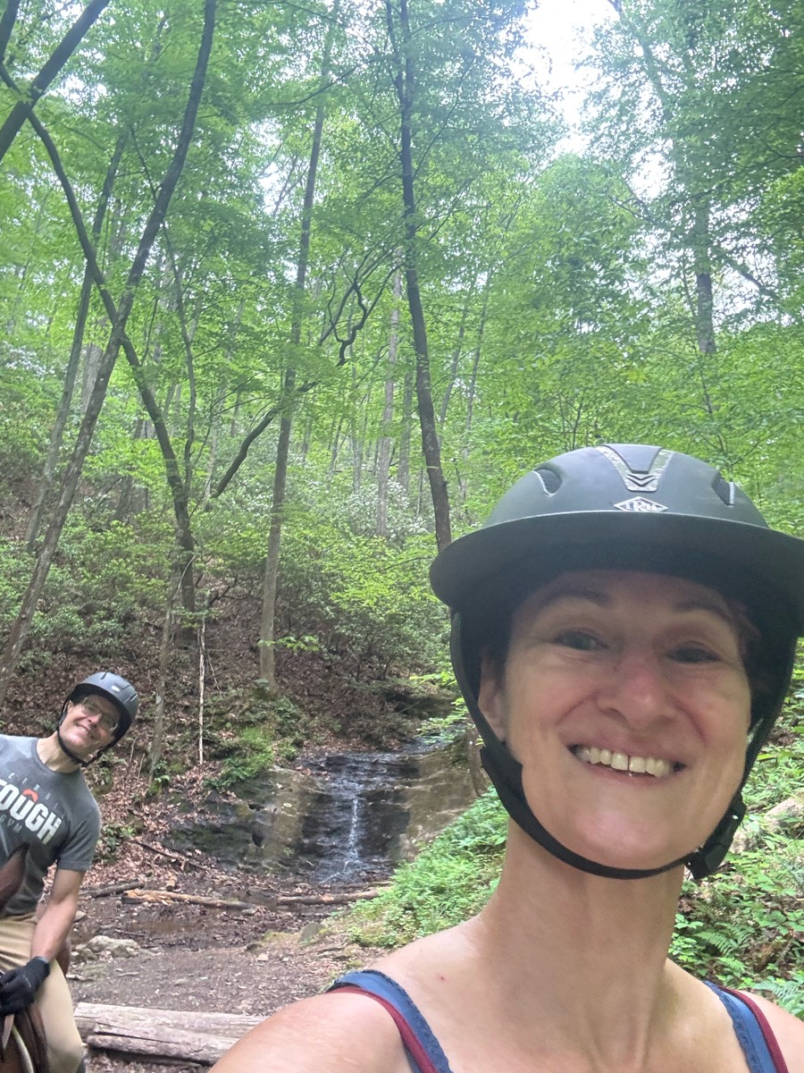
To the waterfall and back


Valley view trails
Easy barefoot/firm footing.
Bridle trail at Sugarcreek Metropark. Nice mix of hills and flat, meadow and trees. Some easy water crossings
Flat pretty easy track

Through new neighborhoods
Up switchbacks, to Everest, down to river.

Fort Custer River trail, Historic Trail and Scenic Loop. Trails are flat with a few small hills. Very nice footing. No mud
Nice calm ride in the orange groves, along Arredondo Road. Please, please don’t go inside the road with a paster out front. Have a nice time!
Beautiful trail including scenic overlook
Mostly wooded forest trail
Flat wide trails along river and woods. Remains of munitions factory can be seen as well as an artesian well.
Mostly road riding, passes cows and dogs


Maplewood West Limited Distance Ride

Moderate, peaceful

Along the dike, between the bay and the pacific. Then down to the pacific ocean beach.
1 mile diet and blacktop easy small hills
Rugged 22 to 26 mile ride.
Good footing, some rocks, relatively flat.

Pretty views, mainly no cars but if there were any theyd slow or stop. Turned to paved just for a little then turned to dirt road. Was barefoot friendly for my horse


All trails in the United States
Ready to explore the best equestrian trails in the United States? Equilab offers thousands of riding routes for scenic strolls, endurance training, and more. Discover verified trail maps to find the perfect path for your next adventure, and then track your ride – all using the world's best horse riding app.
FAQ about Equilab trails
You can explore these trails and many more within the Equilab app! Simply download the app onto your mobile device, create an account, and then head to the “Track” tab. There you can view thousands of trails to discover and ride.
No, Equilab empowers equestrians everywhere to discover and ride trails for free! By creating an account within the app (no payment needed), you will be able to see and ride all public trails. Our Premium subscription offers great additional features, which you can learn more about here.
You can control the visibility of any trails you create using Equilab by selecting different privacy options when saving the trails. If you choose to make a trail "Public", it will be visible here on our website and to anyone using the app. Private trails, on the other hand, are only visible to you and (if you're a Premium user) anyone you share them with. Note: If you rode on private property, we strongly recommend saving your trail as "Private".
Equilab’s list of trails currently only includes those that have been tracked by riders using the Equilab app. As a result, there are still many trails not yet included in our platform. Anyone can track trails and add them for free, however — giving you the chance to help others discover new places to ride!
Yes! You can add a trail from any ride you track using the Equilab app. To so, simply download the app, create an account, then record your ride on the trial.
Note that to create a trail, the ride must be at least 0.6 miles long, have taken at least 5 minutes, and must not have been tracked within an arena.
Our community members have added more than 35,000 public trails, and new ones are added every day. We hope you enjoy exploring them!

Contact our team
Feedback & Help
support@equilabapp.com
Press and Partnerships
marketing@equilabapp.com
Business Inquiries
admin@equilabapp.com


