All horse trails in the United States


Ready to explore the best equestrian trails near you? Equilab offers thousands of riding routes for scenic strolls, endurance training, and more. Discover verified trail maps to find the perfect path for your next adventure, and then track your ride – all using the world's best horse riding app.
Most popular trails
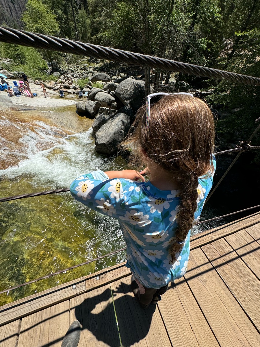


The first half is on the road and the second half is a wonderful sandy trail with little foot (or hoof!) traffic, leading to the swinging bridge where you can climb down for a dip if your horses are nice enough to wait for you:)


Mt Pisgah trail ride around the lower half of the summit


Single track and logging roads


And retirement barn


Ball Diamond to Doc’s Mountain to backside of camp through the water


There is some big hills and lots of rocks


Ron’s place campsite to Maple Lane to Evergreen Hill Rd and Matt’s place for lunch then A trail (off of Maple Lane) to Mohawk to B trail up to Maple Lane stay on B then join A trail which will bring you back to Ron’s Place campsite.
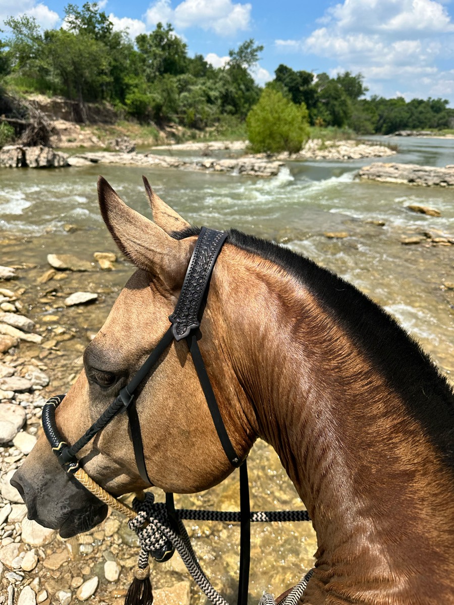


Rocky with several necessary water crossings, lots of shade, beautiful scenery


Very technical and beautiful


Nice trail slightly technical with occasional wash outs (all of the washouts have an easy path around) lots of water crossings from puddles all the way to a small river. Mild hill climbs and mild descends. Trail is mainly dirt with larger rocks that you can work around.


Well groomed, fun, fast, lots of turns and hills


Sandy road leads to water then back thru the woods trail


Water, hills, beautiful


goes through hills and vineyards. lots of places where you must cross the street.


Easy some water crossing


Nice footing mostly sand and sandstoneUps and downs. Good conditioning trail.


Nice tree cover in areas. Some rock but not bad!


Flat, easy ride. Great conditioning for your horse. You can cool off in the lake as well.


Fire Rd., Trail. Flat. Pretty lake. One stream crossing.


Wooded trail, wide enough in most parts to ride side by side. Some hills


Mostly flat with creek crossings


Sandy footing


Mostly trails and not 2 tracks


Nice intermediate trail


Fun trail, lots of downed trees so parts impassable


Easy to moderate. Gate openings with riding on both private and BLM. Can possibly ride through cows depending on the trail taken. Parking by donation.
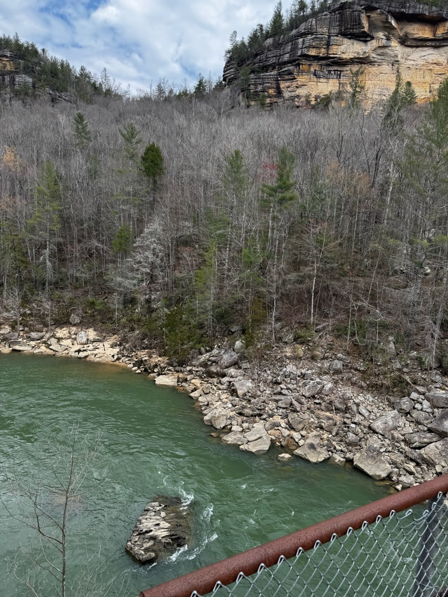


Beautiful ride along the river


Beginner level trail


Loop off of the equestrian camping area


Easy out and back. No water.
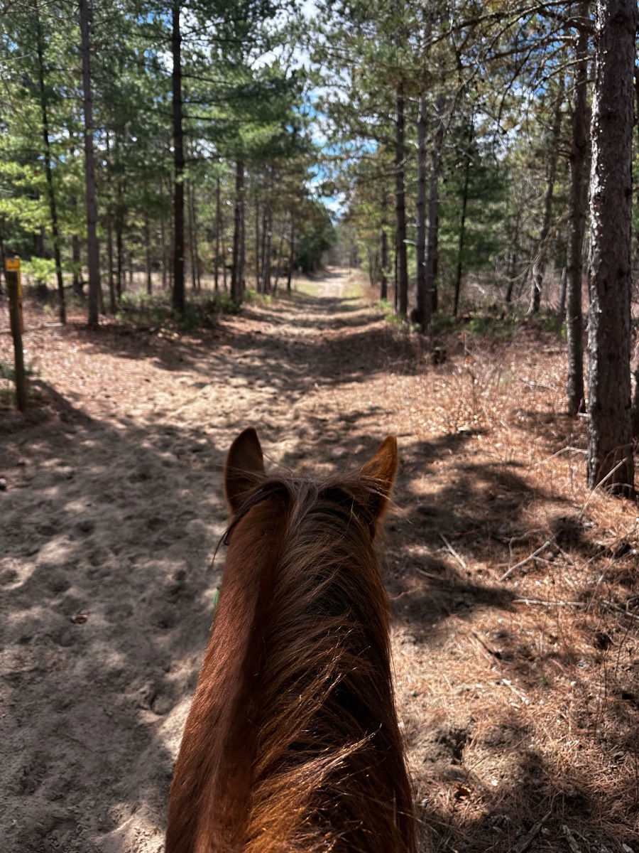


Sand Dunes State Park


Easy and pretty


A bit of a mess in places where Park improvements are in process


Easy with mountain bikes possible


Grassy with a couple small water crossings when there is wet weather. Some wooded spots.


Lots of places for trot, a few steep hills and water crossingsFoxboro requires a membership or daily pass https://foxborohorsefarm.com/foxboro-riding-club/


Moderate trail from Larry’s to Indian head.


Beautiful Sandy terrain, creek, oak trees


Took the 50 Year Trail to the lot. Lot is about 1/2 mile from lot.
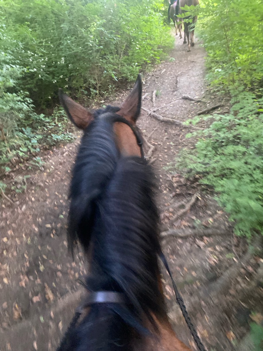


Up passed the tree house over to Bells mill and on forbidden drive


Major climbs, big rocks and all passable


Mixed, Sandy and medium, flat and hillySignage 1 and 2


Shady, easy to follow trail.


Stunning canyon, hills, water crossings


Some Rocky on the way to bar Ôøº


Nice flat good for galloping


New path on the farm side of the power line trails, lots of twists and turns instead of straight.


Gravel road, shaded


Pines, Carolina jasmine vines !


Hilly wooded and absolutely beautiful ü•∞


Trinity Trail on Lake Lavon
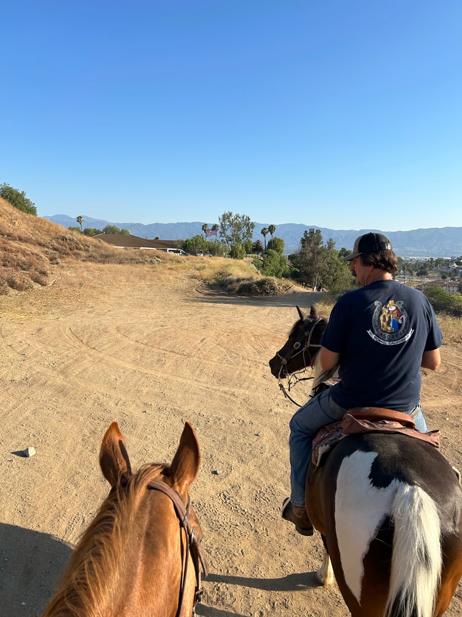


Mostly trail, some brush and hill on norconian. Good ride
All trails in the United States


Ready to explore the best equestrian trails in the United States? Equilab offers thousands of riding routes for scenic strolls, endurance training, and more. Discover verified trail maps to find the perfect path for your next adventure, and then track your ride – all using the world's best horse riding app.
FAQ about Equilab trails
You can explore these trails and many more within the Equilab app! Simply download the app onto your mobile device, create an account, and then head to the “Track” tab. There you can view thousands of trails to discover and ride.
No, Equilab empowers equestrians everywhere to discover and ride trails for free! By creating an account within the app (no payment needed), you will be able to see and ride all public trails. Our Premium subscription offers great additional features, which you can learn more about here.
You can control the visibility of any trails you create using Equilab by selecting different privacy options when saving the trails. If you choose to make a trail "Public", it will be visible here on our website and to anyone using the app. Private trails, on the other hand, are only visible to you and (if you're a Premium user) anyone you share them with. Note: If you rode on private property, we strongly recommend saving your trail as "Private".
Equilab’s list of trails currently only includes those that have been tracked by riders using the Equilab app. As a result, there are still many trails not yet included in our platform. Anyone can track trails and add them for free, however — giving you the chance to help others discover new places to ride!
Yes! You can add a trail from any ride you track using the Equilab app. To so, simply download the app, create an account, then record your ride on the trial.
Note that to create a trail, the ride must be at least 0.6 miles long, have taken at least 5 minutes, and must not have been tracked within an arena.
Our community members have added more than 35,000 public trails, and new ones are added every day. We hope you enjoy exploring them!


