


All horse trails in the United States


Ready to explore the best equestrian trails near you? Equilab offers thousands of riding routes for scenic strolls, endurance training, and more. Discover verified trail maps to find the perfect path for your next adventure, and then track your ride – all using the world's best horse riding app.
Most popular trails


Trails, open space and hills

Very nice single file trails ,sandy with some rocks.
Park at Fant’s Grove. Start on LEFT side of B28.
Level wide trail by fields
Some steeper hills coming from camp. Red trail is loop trail, mostly flat fields and forest. Muddy but manageable. Well marked
Beginner route - rutted with hills in spring

Meadow to Bells mill and back

Horse trail with a few off the beaten path trails
1st time riding at wood stock equestrian
Lots of ups and downs. Good conditioning trail

Gravel road and forest trail
Hilly wooded and absolutely beautiful ü•∞
A combination of hills, washes and road. Recommend shoes as it is rocky

Some wooded, some open fields, mostly level ground.
Blue creek north 3 miles then back to parking lot and then to dead dog bridge and back.
Long trotting loop behind my house

Not too many rocks

Moderate to easy mostly in trees.

Our Hocking Hills Weekend
Shorter training route

Parts easy parts very rocky with steep hills. Very mixed
Half the white oak Trail took the bypass
Switchback and Golf Course

Elk haven horse campground around Lakota lake and back
By the river. Sandy
Beach lighthouse bay loop

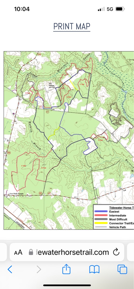
3 trail loops in a 1200 arce County park. Mostly shaded with 2 water crossings.
Rocky muddy uphill most of the way

Mostly sandy (decomposed granite), some rocky areas. Had boots on front only.
Start on the pipeline on the right side when headed toward Grand Canyon.
Recommend boots or shoes. Can be rocky
Längt vägar ..
Good mix of trails
Sand Dunes State Park
Nice blend of hills and flat for gaiting.
Sand pit bridge and CI trail
Muddy from the rain but a nice trail. Very easy trail.
for when you need to go from hnf to kat’s

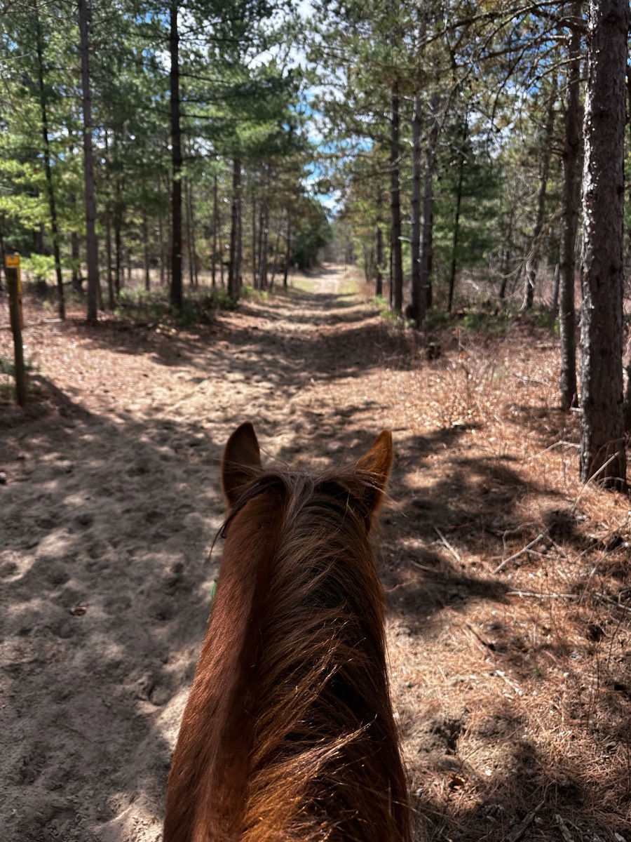
Pines, sand , gravel road, seasonal road, two track
Mostly sand roads through the desert. Undulating terrain. Deep sand washes.
Lakebay Trails to Moor Meadow
Easy, water beaver dam crossing on C,D
Rocky but has good flat spots with canter areas. Some dogs and bikes
Easy loop out the main way and back on the nice trail.
Left from the horse campground.
Little rocky and a little wet.
Moderate, some obstacles
Fun ride beautiful scenery single track. Ledge is tight

Ride the Burma cross the road onto sometimes island beach
Easy to moderate difficulty.
Soft footing and fields

Black hills from Broken Arrow
Rocky and on west side of 3rd arroyo
Busy fast 2 lane highway and paved road into neighborhood with two cul de sacs.

Nice Sandy for most part, wide, views!

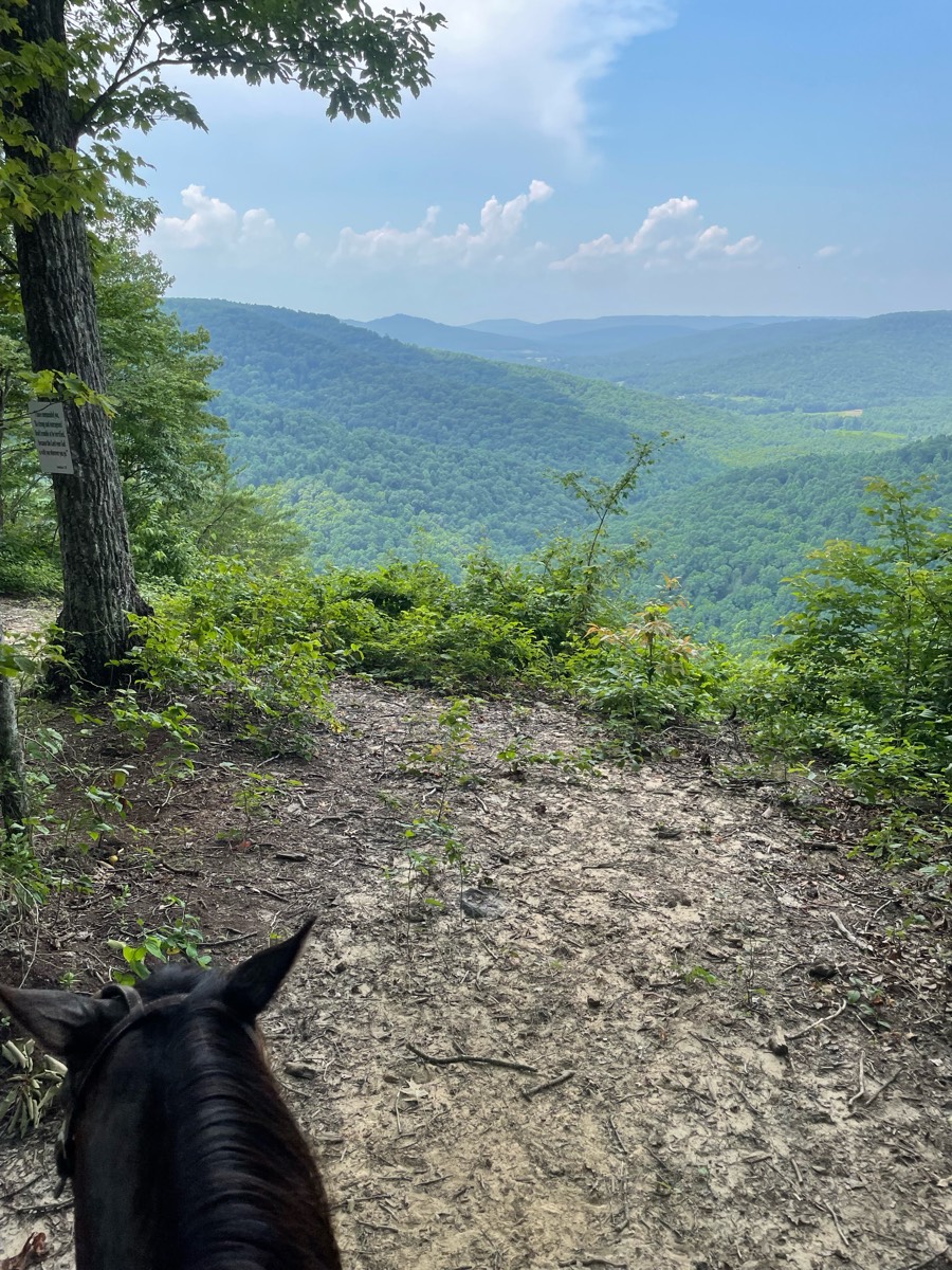
Rocky at times, open, amazing views


County Park. Beautifully maintained trails
Rocky and smooth, multiple trails, bridges

Varied terrain and elevations. Stunning views and cozy woods to trail through. A few down trees so make sure your horse can lift their legs up well at a walk or you can jump. Also download the gooutdoorsva.com and get a daily permit.

All trails in the United States
Ready to explore the best equestrian trails in the United States? Equilab offers thousands of riding routes for scenic strolls, endurance training, and more. Discover verified trail maps to find the perfect path for your next adventure, and then track your ride – all using the world's best horse riding app.
FAQ about Equilab trails
You can explore these trails and many more within the Equilab app! Simply download the app onto your mobile device, create an account, and then head to the “Track” tab. There you can view thousands of trails to discover and ride.
No, Equilab empowers equestrians everywhere to discover and ride trails for free! By creating an account within the app (no payment needed), you will be able to see and ride all public trails. Our Premium subscription offers great additional features, which you can learn more about here.
You can control the visibility of any trails you create using Equilab by selecting different privacy options when saving the trails. If you choose to make a trail "Public", it will be visible here on our website and to anyone using the app. Private trails, on the other hand, are only visible to you and (if you're a Premium user) anyone you share them with. Note: If you rode on private property, we strongly recommend saving your trail as "Private".
Equilab’s list of trails currently only includes those that have been tracked by riders using the Equilab app. As a result, there are still many trails not yet included in our platform. Anyone can track trails and add them for free, however — giving you the chance to help others discover new places to ride!
Yes! You can add a trail from any ride you track using the Equilab app. To so, simply download the app, create an account, then record your ride on the trial.
Note that to create a trail, the ride must be at least 0.6 miles long, have taken at least 5 minutes, and must not have been tracked within an arena.
Our community members have added more than 35,000 public trails, and new ones are added every day. We hope you enjoy exploring them!

Contact our team
Feedback & Help
support@equilabapp.com
Press and Partnerships
marketing@equilabapp.com
Business Inquiries
admin@equilabapp.com


