


All horse trails in the United States


Ready to explore the best equestrian trails near you? Equilab offers thousands of riding routes for scenic strolls, endurance training, and more. Discover verified trail maps to find the perfect path for your next adventure, and then track your ride – all using the world's best horse riding app.
Most popular trails


Could do portions of their trail, but there isn’t good water access.

Out towards Mahlon

Wide open a lot of sun some water
Easy - hills and well groomed

Part of the Tevis trail. A good horse is a MUST on this narrow, rocky, technical trail

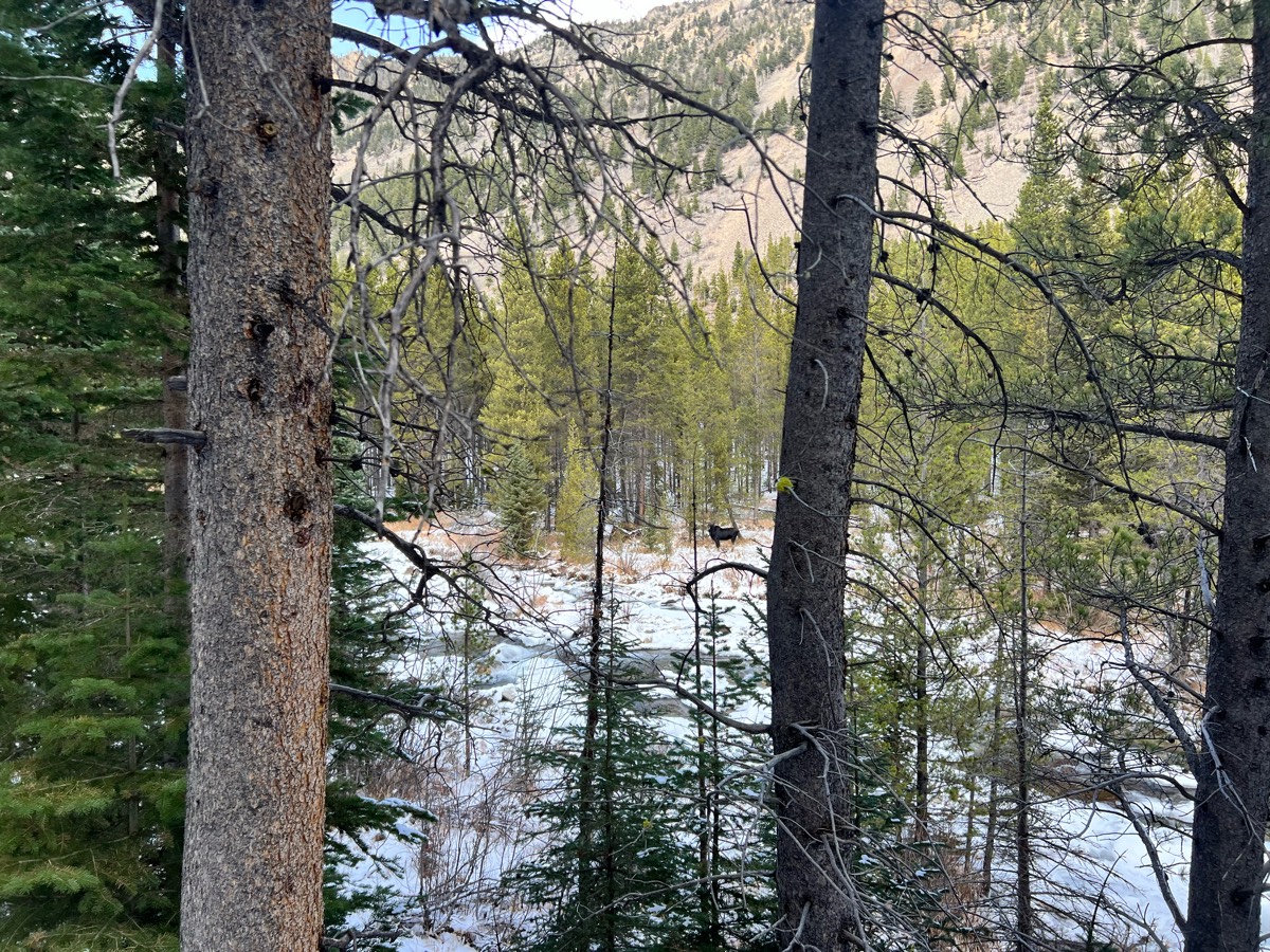
Lovely mixture of uplands, pine flats, with scattered wetlands. Abundant wildlife includes deer, fox, hogs, bobcats, and coyotes. Creek crossing.

Outer perimeter starting at Mexican Canyon

Yellow trail out, Red trail back.
Day one at cypress creek, short ride.
Varying terrain, rocks and rootsUp and down hillsSome wider tracks, some single track
Sandy, hills, some rock

Jazzy gypsy and Camini

CA land -this trail completes


New parking area- Changing terrain. Woods, fields, rocks, water crossing, road crossing. Ties in the shorter loop from older parking area, bypasses the old wooded rocky trail, goes up the hillside and back down across the road to the cannon fields. Does not cross the slick creek
Dirt roads and foot paths
Mainly woods- nice trailSome open areasSome wider trails
Very steep, and extremely ROCKY


Beautiful ride with lots to see especially in the spring the flowers are plentiful.

Starts across the road

Beautiful ride around the lake but to long

A mix of gravel and single track trails. Good horse trailer parking. Round pen for warmup. 4 corrals. Day use only.


Lots of hill, water crossings, ride beside the lake, shaded by large trees. A little bit of dirt road riding, not busy.Some downed trees to navigate around, but it’s worth it. This is a WMA, they won’t be totally cleaned up… the trail will just go around them.
Saw mill trail head to grindstone stable. Like a roller coaster ride. Lots of up and down.

Bullards midsection

Rocky and wet in some areas. Diverse terrain
Mostly road; old railroad bed
Woods and open grasslands

Cherry Laurel to Paddock Way
Well groomed, fun, fast, lots of turns and hills
Electric camp to old and new lookouts

Sheyenne National Grasslands

Great 7 mile loop in all seasons for beginners. Mostly flat except Bahia Ridge Fire Rd. Lots of marsh birds. Single wooden bridge. Bug swarms mostly near trailhead/101 during warm weather. Beautiful spring wildflowers near bridge
LONG but nice and easy, to the lake turn around and come back

Pleasant Hope Conservation Area

Slight inclines, easy but some rocks.
Gradual climb, several moderately narrow areas as trail runs along river, some rocks but not excessive. Overall a great ride!

Very fun trail not too rocky. There is some steep hills going down.
Bassett mill to old drew rd
Good hill climb good view

Leaving Nellie Gail and heading to home
Blue & yellow trails

Soft dirt, moderately rocky footing. Long, good hills. Gorgeous views of American River.

Wide, easy trails with few Rocks and some bridge crossingsThis is a Massachusetts State Park, so you have to pay for use of the parking lot with credit card or an appHorse trailers. Park in the field. Next to the car parking lot. Lots of space to just turn around.
Ferguson Steps to Bromfield's Junglebrook Trail
South Rd rail trail to potato Rd back to south.


All trails in the United States
Ready to explore the best equestrian trails in the United States? Equilab offers thousands of riding routes for scenic strolls, endurance training, and more. Discover verified trail maps to find the perfect path for your next adventure, and then track your ride – all using the world's best horse riding app.
FAQ about Equilab trails
You can explore these trails and many more within the Equilab app! Simply download the app onto your mobile device, create an account, and then head to the “Track” tab. There you can view thousands of trails to discover and ride.
No, Equilab empowers equestrians everywhere to discover and ride trails for free! By creating an account within the app (no payment needed), you will be able to see and ride all public trails. Our Premium subscription offers great additional features, which you can learn more about here.
You can control the visibility of any trails you create using Equilab by selecting different privacy options when saving the trails. If you choose to make a trail "Public", it will be visible here on our website and to anyone using the app. Private trails, on the other hand, are only visible to you and (if you're a Premium user) anyone you share them with. Note: If you rode on private property, we strongly recommend saving your trail as "Private".
Equilab’s list of trails currently only includes those that have been tracked by riders using the Equilab app. As a result, there are still many trails not yet included in our platform. Anyone can track trails and add them for free, however — giving you the chance to help others discover new places to ride!
Yes! You can add a trail from any ride you track using the Equilab app. To so, simply download the app, create an account, then record your ride on the trial.
Note that to create a trail, the ride must be at least 0.6 miles long, have taken at least 5 minutes, and must not have been tracked within an arena.
Our community members have added more than 35,000 public trails, and new ones are added every day. We hope you enjoy exploring them!

Contact our team
Feedback & Help
support@equilabapp.com
Press and Partnerships
marketing@equilabapp.com
Business Inquiries
admin@equilabapp.com


