


All horse trails in the United States


Ready to explore the best equestrian trails near you? Equilab offers thousands of riding routes for scenic strolls, endurance training, and more. Discover verified trail maps to find the perfect path for your next adventure, and then track your ride – all using the world's best horse riding app.
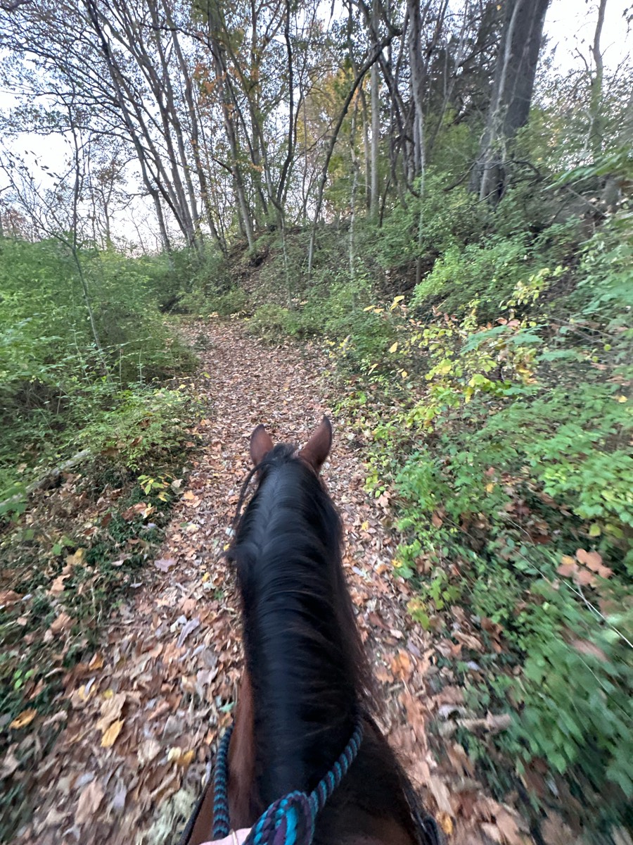
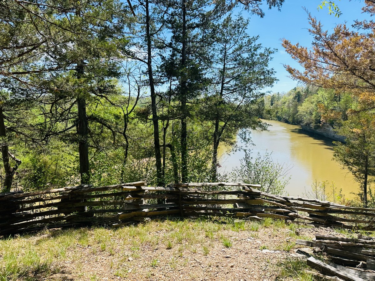
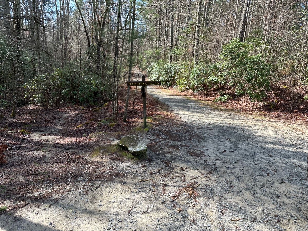
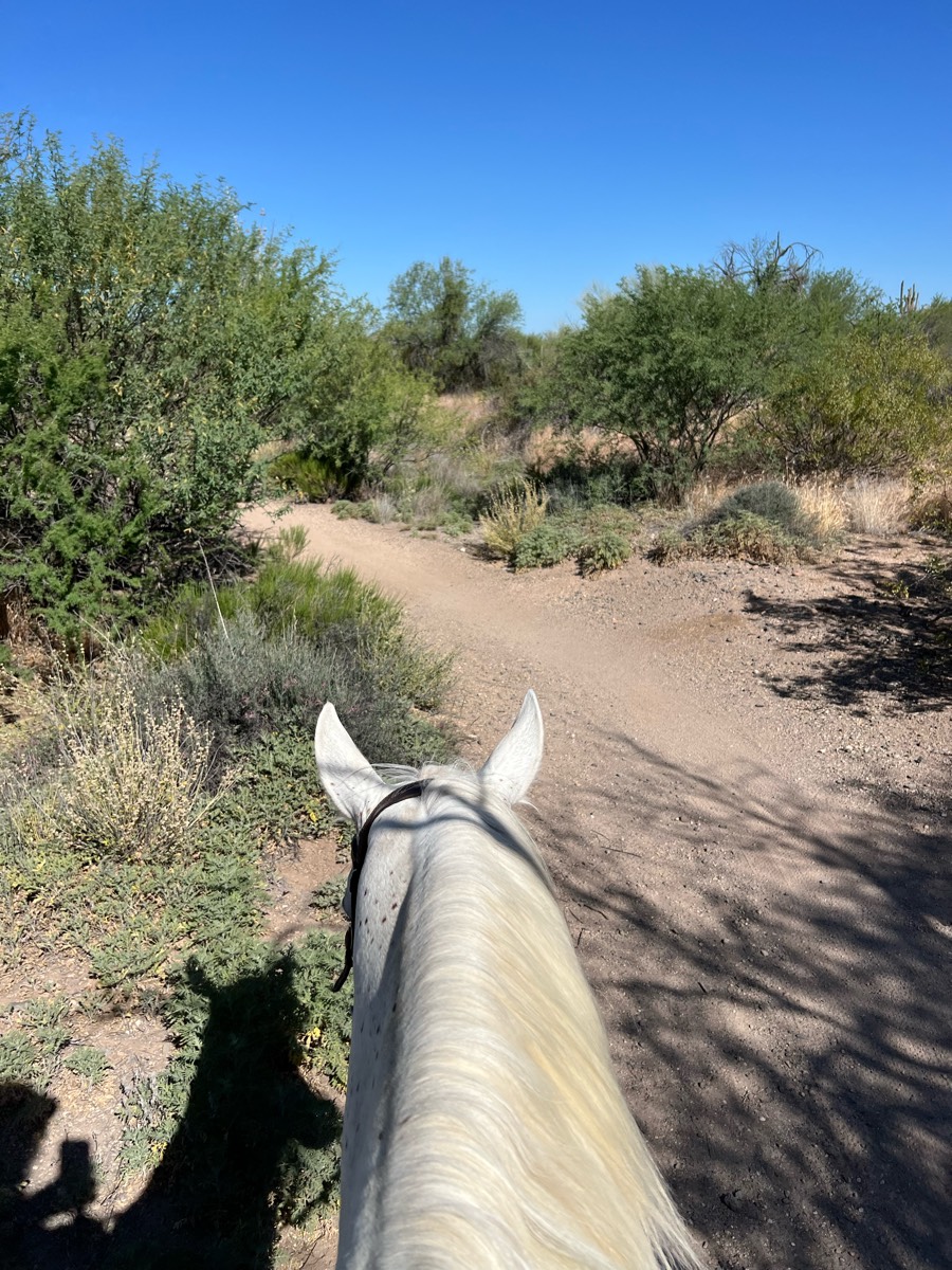
Most popular trails


To the beach through road and back to trailer

Gravel road with 4+ access points to trails
Carroll Co park. Criss-crosses new bike trails; county says they are updating horse trail signage, to please stay off new bike trails. Parking area near restrooms, but they have been locked recently. Dropbox fee, or annual parking pass available from nearby McIntosh Reserve.
In the Ocala National Forest Altoona, FL
Staunton River State Park
Equestrian trail through Pebble Beach

Nice long ride. Horses did great

Matsell state park from small parking lot to river and back

Regular loop with upper loop and sand hill

First half is short around 2 hoursSecond Half about the sameRide separately or combine for a full day

8 mile loop & 10 mile loop
Neighborhood trail at Spruce CreekAcres. JAMESTOWN TN

Awesome day riding! We saw a fawn!
Great for fast rides when the ground is good.

Jackie Street is very steep and rocky. Connecting trails are nice. Hightree Rock trail is nice and wide and really nice footing. I would recommend going up Jackie Street and not trying to come down it.
6 easy miles worth of trails
Sand horse trail in Coldwater
Fairview stables short loop

Easy, moderate, water crossing, hills, washes

Mostly gravel roads, nicely shady

Trail through fields and around Lake Terrell including part on Lake Terrell Rd. From Mountain View Rd to the boat launch then cut through to N.Star Rd.
Woods, Creeks, Rocky, Cutbacks, Steep
Nice loop with great footing

Sandy Pines Preserve, just out and back on the main trail

Prairie windy trail with a tunnnel
Mostly double wide, some great views and good inclines.
Off Road riding

A shorter ride…2 hours, 5 ml
Good training ride trail. Lots of hills, sand and turns
Under the bridge, off property. Lots of overgrown grass and not super pleasant path way. Mud, dirt and gravel road. You will pass an RC race track which can be very load so make sure you trust your pony.
Easy trail with multiple options of how long you want to ride.
Horses, dogs, people
N8ce trail very little mud
From McKenney campground to the Mima Falls
Sky Meadow with Summer and Jenn


Hobbs-Townsend Ridge trail head parking area-Riding part of the War Eagle loop to overlook and back only. (Not the entire loop). Rocky, down trees, but clear paths. Climbs and switchbacks. Single lane trails.
Easy pretty short ride
Easy trail ride
This is part two make sure to look for part one on the trails that I have added as my app had cut out. I am adding this trail from 2021 so that I have it for future reference it is a two-part to get there and to get back and that's all that I can remember
Finnie trailhead to CC on trail. CC rd to Artemis Rd. Back on trail to Finnie. Several steep climbs/decents.
Mostly in woods,,small amount in open
Hilly with a combination of forested and prairie areas.

Red sand and some rocks. Rode high but not in the hills
Two small loops at Otter ponds
Wooded, small hills, creek crossings- clearly marked

Tommie's 30 minute

Flat-ish 2 water crossings
Great footing, lots of vegetation, and beautiful views.

Johnson creek rec area

Alum Creek Lake trail, Maple Glenn

We had some cars and other horses passed us and there was only 3 people and it was 15 miles and we did and lot of cancer it was so much fun
13 mile endurance trail are Sugarloaf
Short section of start trail. Keep right at all crossroads.

Wooded, some single tracks.
Easy loop a little.longer

First loop of Iron Mountain 50 on Friday
North from parking lot. Through the woods and along the lake
All trails in the United States
Ready to explore the best equestrian trails in the United States? Equilab offers thousands of riding routes for scenic strolls, endurance training, and more. Discover verified trail maps to find the perfect path for your next adventure, and then track your ride – all using the world's best horse riding app.
FAQ about Equilab trails
You can explore these trails and many more within the Equilab app! Simply download the app onto your mobile device, create an account, and then head to the “Track” tab. There you can view thousands of trails to discover and ride.
No, Equilab empowers equestrians everywhere to discover and ride trails for free! By creating an account within the app (no payment needed), you will be able to see and ride all public trails. Our Premium subscription offers great additional features, which you can learn more about here.
You can control the visibility of any trails you create using Equilab by selecting different privacy options when saving the trails. If you choose to make a trail "Public", it will be visible here on our website and to anyone using the app. Private trails, on the other hand, are only visible to you and (if you're a Premium user) anyone you share them with. Note: If you rode on private property, we strongly recommend saving your trail as "Private".
Equilab’s list of trails currently only includes those that have been tracked by riders using the Equilab app. As a result, there are still many trails not yet included in our platform. Anyone can track trails and add them for free, however — giving you the chance to help others discover new places to ride!
Yes! You can add a trail from any ride you track using the Equilab app. To so, simply download the app, create an account, then record your ride on the trial.
Note that to create a trail, the ride must be at least 0.6 miles long, have taken at least 5 minutes, and must not have been tracked within an arena.
Our community members have added more than 35,000 public trails, and new ones are added every day. We hope you enjoy exploring them!

Contact our team
Feedback & Help
support@equilabapp.com
Press and Partnerships
marketing@equilabapp.com
Business Inquiries
admin@equilabapp.com


