


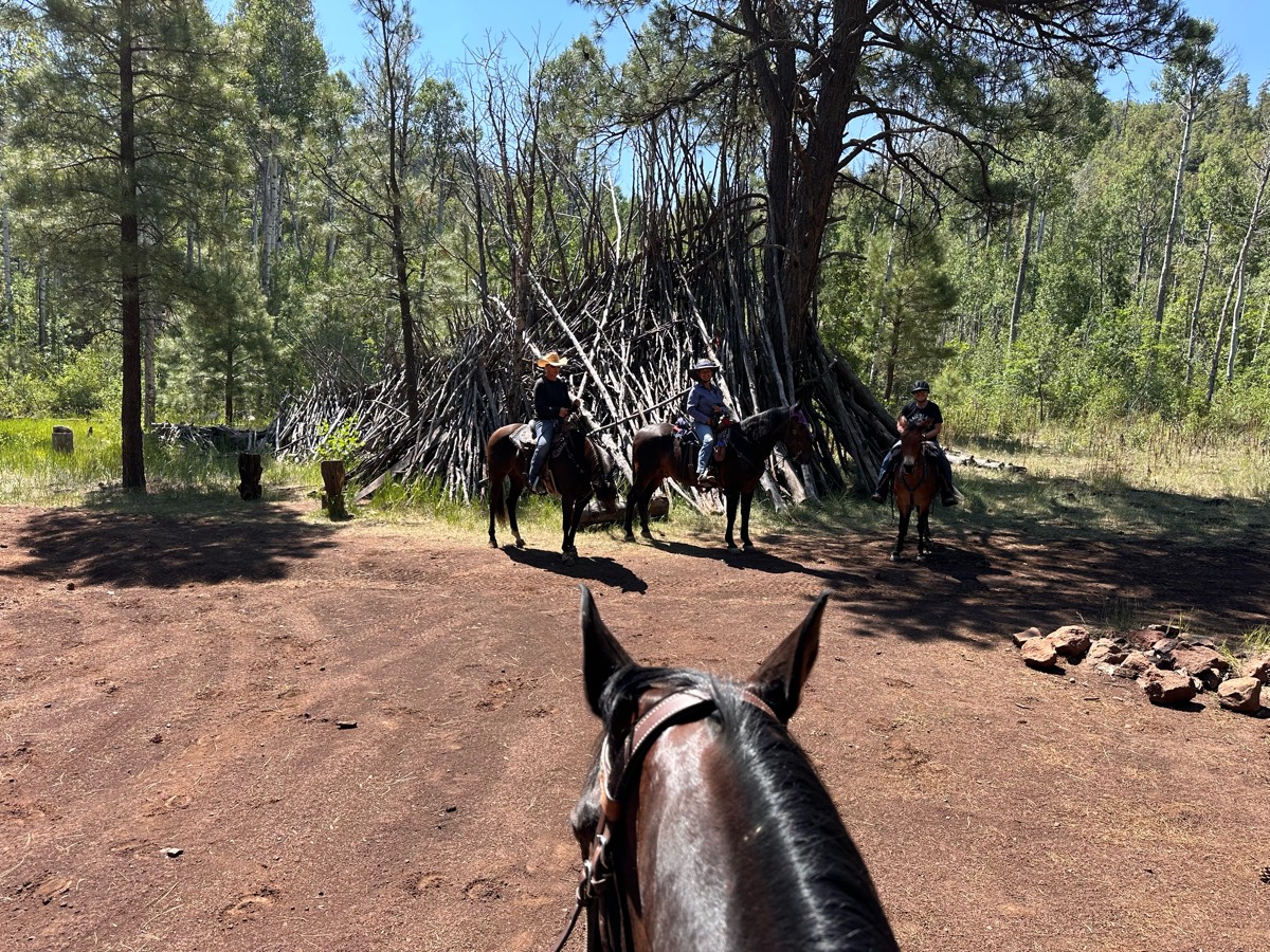
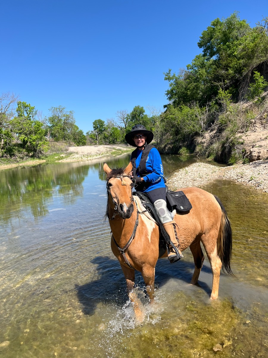
All horse trails in the United States


Ready to explore the best equestrian trails near you? Equilab offers thousands of riding routes for scenic strolls, endurance training, and more. Discover verified trail maps to find the perfect path for your next adventure, and then track your ride – all using the world's best horse riding app.
Most popular trails


Beautiful trail around lake!

Nice easy ride along the river.
Watson Mill Short ride.
Mozingo Lake Equestrian Trail

Very long hard ride up to the lake. No water on the way up.


Travel South from parking area
Nice no trees down
From Rt 20 to Fowlerville Rd

Hard and rocky. Narrow and steep
Clean and groomed some rocky areas
Barn to yellow house road
Easy. Texhnical going around gates. Some ATVs.
Dirt roads and main irrigation run
No jacktown and some tantrum spots
Fairly rocky. Have a map
https://www.facebook.com/wrv.equestriancenter?mibextid=ZbWKwL

Easy with Timbers and meadows. No electric.
Robbers cave not as rocky of a trail
Piney Hollow nice easy roads and trails

Mostly flat. Beautiful
Mix of single track and fire road, climbing up then down and same in reverse

Skipped the dangerous mud holes by staying on the road a spell. Great ride with varied terrain

Misty and her husband ride to third tunnel

Calm trail, open, single track, flat, no rocks
Rocky needs shoes lots of water crossing and wonderful views
Extended trail at Sandy Pines Preserve

Pines cordwood mud hole
Wash and around Boot needed

Super fun! I went with my friend, sidekick was very energetic
Devils canyon pretty views mostly road

Gravel and Forestry road, parking is rough; beautiful trail
Loves it. Small hills, small water crossing
Mt Pisgah trail ride around the lower half of the summit
Uphill, narrow, and a couple crazy spots
Long trailg old for trail riding and breezing

January snow ride 1/10/2025

Somewhat rocky and inclines declines

Vineyard Mtn to hole in the bucket

short trail at meadowood
Punkhorn parklands Harwich
Trail with picture rock
Lots and lots of rocks. Recommend boots. Not going to be doing much gaiting here.
Horse trails criss-cross bike paths. Some trails are less used, hard to see, steep, and/or challenging footing. Painted markers on trees. Large street-wide crossing, shared by bikers. Some side-of-street riding. Parking area with nice rest rooms, playground, picnic area
Mixed hard-packed, rocks, and some new small gravel (hard to pull through).
Long line section is very steep

Not for the faint of heart! Sure footed horse suggested. Steep hill climbing in 2 spots, but the views are worth it.

High Point, Homestead, Lake View. Wide Trails,
Fat Man’s and Table Rock and 31 Horse Cave

Mostly single track, technical, and hills. Gorgeous views overlooking the canyon.

Mountain ride to Barkley lake
Loop around the neighborhood of Spruce Creek Acres

Beautiful Old Florida, with a mix of hammocks, uplands, and wetlands
Orange trail to Airplane Rock
Mixed forest and prairie. Some obstacles available
Wooded and opened
Waterfall at end of trail!

Hilly and narrow in parts
Road riding on busy roads
Williamsport Entrance
1.8 miles rd side. Rest in the woods


All trails in the United States
Ready to explore the best equestrian trails in the United States? Equilab offers thousands of riding routes for scenic strolls, endurance training, and more. Discover verified trail maps to find the perfect path for your next adventure, and then track your ride – all using the world's best horse riding app.
FAQ about Equilab trails
You can explore these trails and many more within the Equilab app! Simply download the app onto your mobile device, create an account, and then head to the “Track” tab. There you can view thousands of trails to discover and ride.
No, Equilab empowers equestrians everywhere to discover and ride trails for free! By creating an account within the app (no payment needed), you will be able to see and ride all public trails. Our Premium subscription offers great additional features, which you can learn more about here.
You can control the visibility of any trails you create using Equilab by selecting different privacy options when saving the trails. If you choose to make a trail "Public", it will be visible here on our website and to anyone using the app. Private trails, on the other hand, are only visible to you and (if you're a Premium user) anyone you share them with. Note: If you rode on private property, we strongly recommend saving your trail as "Private".
Equilab’s list of trails currently only includes those that have been tracked by riders using the Equilab app. As a result, there are still many trails not yet included in our platform. Anyone can track trails and add them for free, however — giving you the chance to help others discover new places to ride!
Yes! You can add a trail from any ride you track using the Equilab app. To so, simply download the app, create an account, then record your ride on the trial.
Note that to create a trail, the ride must be at least 0.6 miles long, have taken at least 5 minutes, and must not have been tracked within an arena.
Our community members have added more than 35,000 public trails, and new ones are added every day. We hope you enjoy exploring them!

Contact our team
Feedback & Help
support@equilabapp.com
Press and Partnerships
marketing@equilabapp.com
Business Inquiries
admin@equilabapp.com


