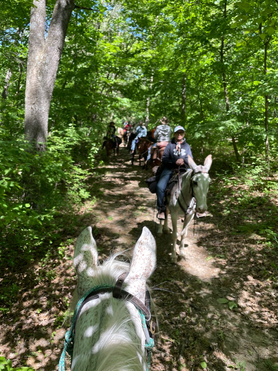
All horse trails in the United States


Ready to explore the best equestrian trails near you? Equilab offers thousands of riding routes for scenic strolls, endurance training, and more. Discover verified trail maps to find the perfect path for your next adventure, and then track your ride – all using the world's best horse riding app.
Most popular trails


Loose gravel, multi-use (bikes, hikers/runners, horses).


Wash from Brewer to Warren


technical and lovely views


Red loop with no alt paths taken.


Public park with no pass required


Nice ride through interior of Hitchcock Woods.


Mostly open roads


Barefoot friendly


Go to Wendy’s


From the house to McElroy road. Lots of rock and trees to dodge and a seasonal creek, but just like that you are in meadow vista! When you hit the road there are cars and dirt bikes that you have to watch out for. People are nice.


Varied terrain from rocky roads to narrow trails. Cannot be done without hoof protection.


Gentle terrain and hard soil in dry weather river bridge crossing


Nice ride down to the river. About 7 miles there and back.


Beautiful wooded trails.


Riverbed and residential


Sandy, little shade, not marked well


Single track, sandy, shady


Christian Cemetery to Mill…to Tar Klin


Well marked and relatively flat. Good cell service to check maps. Circle parking lot, easy to park trailer and pull out.


Jazzy gypsy and Camini


Great for fast rides when the ground is good.


Mostly single track, technical, and hills. Gorgeous views overlooking the canyon.


Horse friendly trails, but if you’re on a taller horse you’re gonna need to duck a lot 🤣


RockyRide camp started on private property, but there is public parking a quarter-mile down the road


Riverbed shade nice ride


Located east of Las Cruces at the end of Soladad road wide gravel/rock trail.


Paved and gravel wide paths


Shady with lake views and access


Fair Hill - this ride took us 3 hours


Mingo half orange loop(found large puff balls 10/8)


Ocotillo to Javelina Pass to Sidewinder to Ridgeback to Ocotillo to Apache Wash Loop


Wiregrass Loop, Long Leaf Pine, Fox Squirrel Loop


Some rocks, some hills, short stretch of asphalt from the end of 4B property until you get to the overflow


Mostly flat, quarry trail, bike trail. Shady trail


Trail through somewhat neighborhood but super nice


Rocky in a lot of places


Nice with lots of trees down. Some cleared aaay and several not from winter blizzards and high winds.


Beautiful trail including scenic overlook


Rocky and steep. Woods, fields tunnel and bridges.


Flat, well maintained,Trip through historic battlefield


Rocky trails with extreme altitude


This is white sands cut in half,


Midnight Stars Stables Trail


Blue, yellow, pink and purple trails


Extended trail at Sandy Pines Preserve


Very shaded, not the land bridge


Loafer creek trail loop


Mellow rideFoxboro requires a membership or daily passhttps://foxborohorsefarm.com/foxboro-riding-club/


Blue trail to blue/white. Easy ride


lots of water crossing


Beautiful wide trails with mostly sandy footing along the Cordell Hull Lake with some hills. A couple of nice creeks to cross and water horses. Camping is primitive, but they do have tie lines, picnic tables, fire rings, and grills.


Starting at Jousting Hill Farm arena ->eastern loop of JHF trails-> rail trail connector->rail trail south to Depot road->east along road to JHF driveway->north back to starting point. Parking is available at intersection of Rail Trail and Depot Road.


Nice trail - close to home


Deep footing but nice and relaxing for a trail ride in the woods


Dirt road to beautiful farm with vultures.


VERY rocky, narrow, overgrown. Difficulty rating is like 8/10 to me.


2 miles along the Santa Ana Riverbed trail, into Fairview park, and then back along Costa Mesa neighborhoods.


Premier jour sentier à partir du dîner
All trails in the United States


Ready to explore the best equestrian trails in the United States? Equilab offers thousands of riding routes for scenic strolls, endurance training, and more. Discover verified trail maps to find the perfect path for your next adventure, and then track your ride – all using the world's best horse riding app.
FAQ about Equilab trails
You can explore these trails and many more within the Equilab app! Simply download the app onto your mobile device, create an account, and then head to the “Track” tab. There you can view thousands of trails to discover and ride.
No, Equilab empowers equestrians everywhere to discover and ride trails for free! By creating an account within the app (no payment needed), you will be able to see and ride all public trails. Our Premium subscription offers great additional features, which you can learn more about here.
You can control the visibility of any trails you create using Equilab by selecting different privacy options when saving the trails. If you choose to make a trail "Public", it will be visible here on our website and to anyone using the app. Private trails, on the other hand, are only visible to you and (if you're a Premium user) anyone you share them with. Note: If you rode on private property, we strongly recommend saving your trail as "Private".
Equilab’s list of trails currently only includes those that have been tracked by riders using the Equilab app. As a result, there are still many trails not yet included in our platform. Anyone can track trails and add them for free, however — giving you the chance to help others discover new places to ride!
Yes! You can add a trail from any ride you track using the Equilab app. To so, simply download the app, create an account, then record your ride on the trial.
Note that to create a trail, the ride must be at least 0.6 miles long, have taken at least 5 minutes, and must not have been tracked within an arena.
Our community members have added more than 35,000 public trails, and new ones are added every day. We hope you enjoy exploring them!


