


All horse trails in the United States


Ready to explore the best equestrian trails near you? Equilab offers thousands of riding routes for scenic strolls, endurance training, and more. Discover verified trail maps to find the perfect path for your next adventure, and then track your ride – all using the world's best horse riding app.
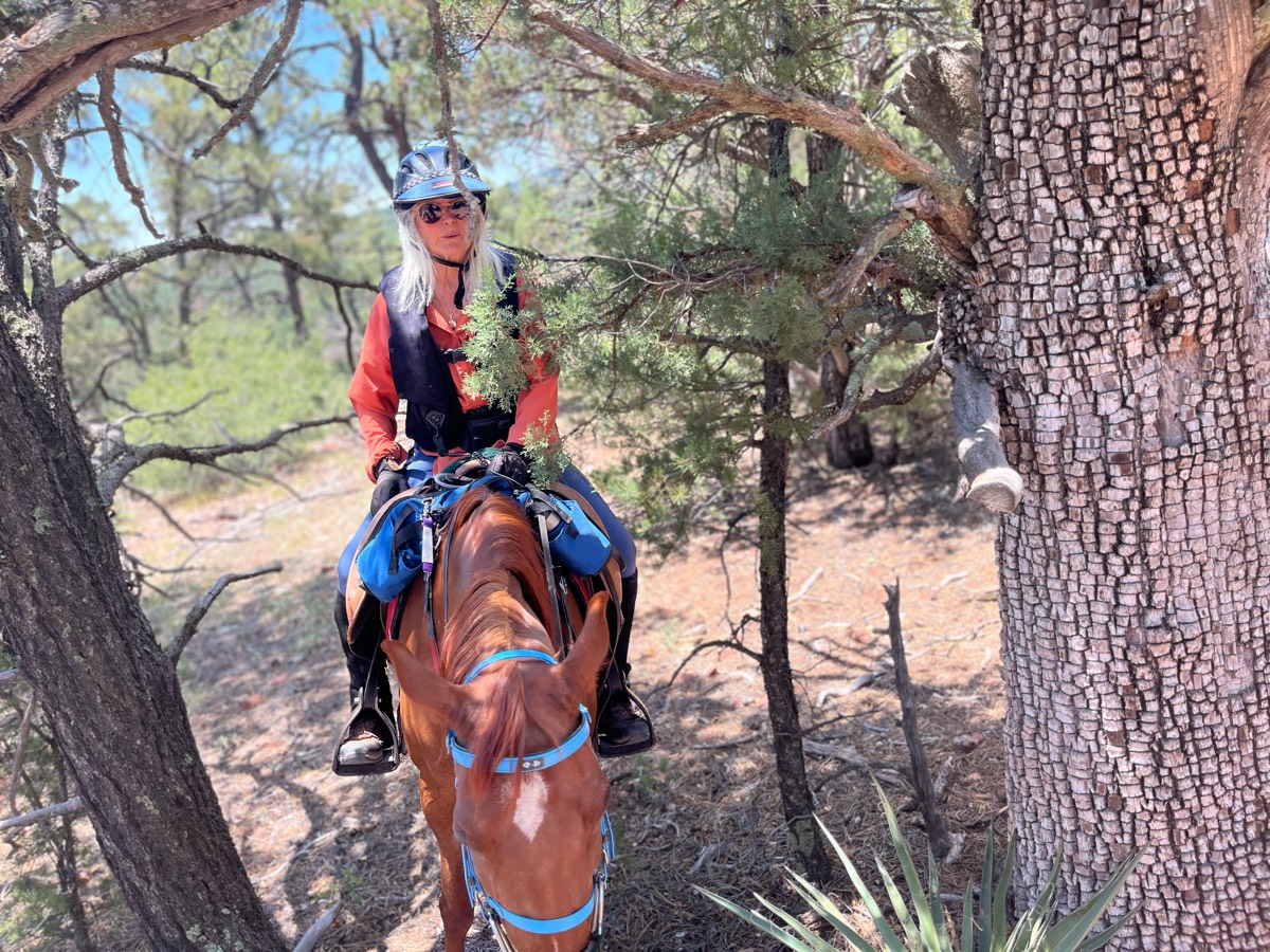
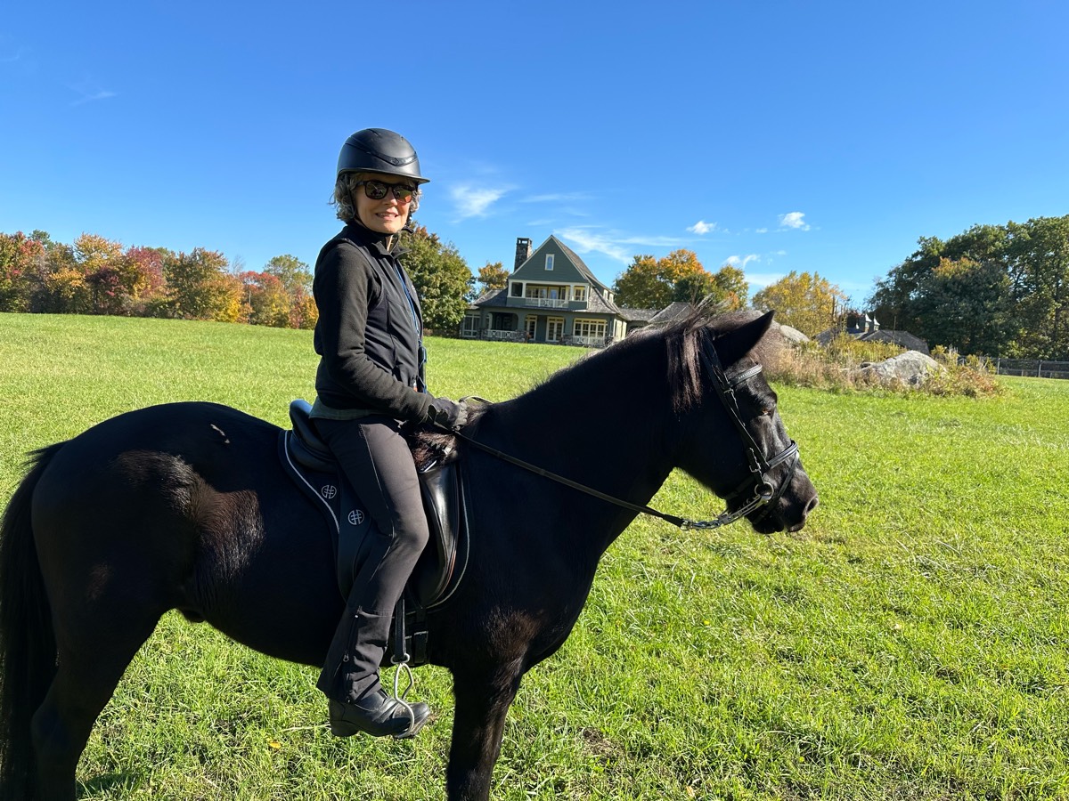
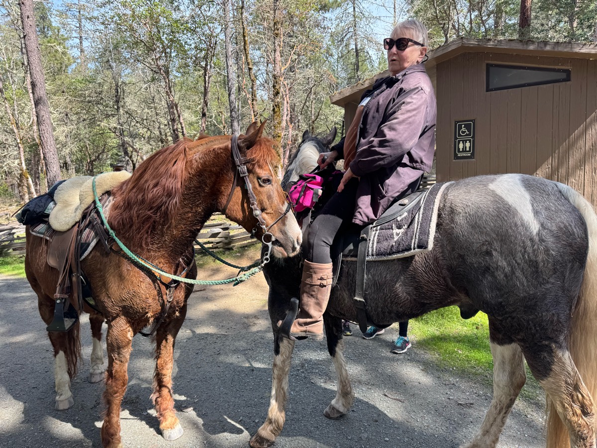
Most popular trails


Starts at 2 water tanks at Picacho mountain area.


Flat and wide multi use trail
Wooded and open some asphalt
Easy but good for hill work after rain there are some little creeks to cross. Most of the time you will see other people walking their dogs
RockyRide camp started on private property, but there is public parking a quarter-mile down the road

Soft footing, beautiful views, I ride out about 3.5 miles and back the same way so make it to be around 7.5 miles. Lots of places to trot and canter, we go there in the winter time as well when we pull shoes. After rain it can get really muddy though so something to think about.
Easy, lots of spots to trot/canter
Nice easy trails
Moss Foundation 4000 acre Equestrian preserve. Occasional hikers but no bikes or other groups. You might rarely see. Foundation worker in a vehicle but they are very respectful of riders and drivers. Parking at 226 Equestrian Rd, Vass

Very technical and rocky, quiet trails, climb down to river and climb back up on salt creek loop.


Forgiving hill route. Can be slick after rain. Heavy motorcycle and bike route - plan use times accordingly.

A little bit of everything
Wide grassy great footing
Sisters Oregon. Missing the first section from Cow Camp.
Large variety of areas, lots of hills but can do small loop and avoid them.

Challenging (a little) up and down hills to get to wash - then lots of wash.
Follows the river most of the way, ends at some houses
Behind the baseball fields


Part or River to River trail , rocky , need shoes with drill tech on horses ,

Decent trail for extended jogging and loping
Turned around at road to FR
Single track and logging roads
Has some difficult times. Option to go straight instead of up the hill
Beautiful trail - 3 different loops

Nice sandy peaceful lake and creek crossing
My favorite trail in the POC park

Rocky, desert, hikers, mountain bikers.
Exit right end of parking lot.Red immediately to blue Down easement back to Blue interior Back to Red Cross easement red on the river red on the hillside to white back to red downhill.And red out of park
River loop and loop around the lake and back to the parking lot at Howell woods. Multi-use park is open every Sunday to horseback riding. The hunting season is over open every day for fishing, biking and horseback riding.
House to Red trail
Flat and shale gravel. Shaded
Pinetree dirt and lot rock trails

Sleepy Hollow East Loop

Lots of trails. Lake access.
Flats to southern crossing to West River to Wills to Oso.
Bridges, hills road

Wooded single track trail crosses water multiple times and also has 6-9 wooden bridges.

Must have permission to enter Fort. Can be done at no cost at the Van Deman gate. Trail great shape. Some rocks. In and back

Cooper Lake South Sulpher unit

Good beginners trail

Long climb up with steep downhill. Lots of sand.
Road & old RR bed
Helping out push calves to the back
Easy one hour loop. Mostly flat.
Slight challenges through ditches and creeks. Beautiful trail!
Beautiful woods with canter opportunities near the goats/cows. Approx 1 1/2 hrs
Nice trail thru woods with moss

Rocky. Second half better than first
Stewart to Greenpicker to Glen Camp Loop to Glen/Coast Spur to Stewart. Home: Coast to Old Out, to Alamea, to Ridge, toStewart.

Ride by the Highway into town then along the fence of the elk ranch

Asphalt road for a mile. Two miles along the river. Hit the rapidan fire road to go thru the mountains back to Graves or left towards fork mountain or Hoover camp.

Lots of trails through the Three Rivers Park system. Some hills. Some open areas. Some shade. Water along the lake to go through but only because it’s really high right now.
Mostly shaded
All trails in the United States
Ready to explore the best equestrian trails in the United States? Equilab offers thousands of riding routes for scenic strolls, endurance training, and more. Discover verified trail maps to find the perfect path for your next adventure, and then track your ride – all using the world's best horse riding app.
FAQ about Equilab trails
You can explore these trails and many more within the Equilab app! Simply download the app onto your mobile device, create an account, and then head to the “Track” tab. There you can view thousands of trails to discover and ride.
No, Equilab empowers equestrians everywhere to discover and ride trails for free! By creating an account within the app (no payment needed), you will be able to see and ride all public trails. Our Premium subscription offers great additional features, which you can learn more about here.
You can control the visibility of any trails you create using Equilab by selecting different privacy options when saving the trails. If you choose to make a trail "Public", it will be visible here on our website and to anyone using the app. Private trails, on the other hand, are only visible to you and (if you're a Premium user) anyone you share them with. Note: If you rode on private property, we strongly recommend saving your trail as "Private".
Equilab’s list of trails currently only includes those that have been tracked by riders using the Equilab app. As a result, there are still many trails not yet included in our platform. Anyone can track trails and add them for free, however — giving you the chance to help others discover new places to ride!
Yes! You can add a trail from any ride you track using the Equilab app. To so, simply download the app, create an account, then record your ride on the trial.
Note that to create a trail, the ride must be at least 0.6 miles long, have taken at least 5 minutes, and must not have been tracked within an arena.
Our community members have added more than 35,000 public trails, and new ones are added every day. We hope you enjoy exploring them!

Contact our team
Feedback & Help
support@equilabapp.com
Press and Partnerships
marketing@equilabapp.com
Business Inquiries
admin@equilabapp.com


