


All horse trails in the United States


Ready to explore the best equestrian trails near you? Equilab offers thousands of riding routes for scenic strolls, endurance training, and more. Discover verified trail maps to find the perfect path for your next adventure, and then track your ride – all using the world's best horse riding app.
Most popular trails


Includes wooded trails, open grassy fields, and gravel road
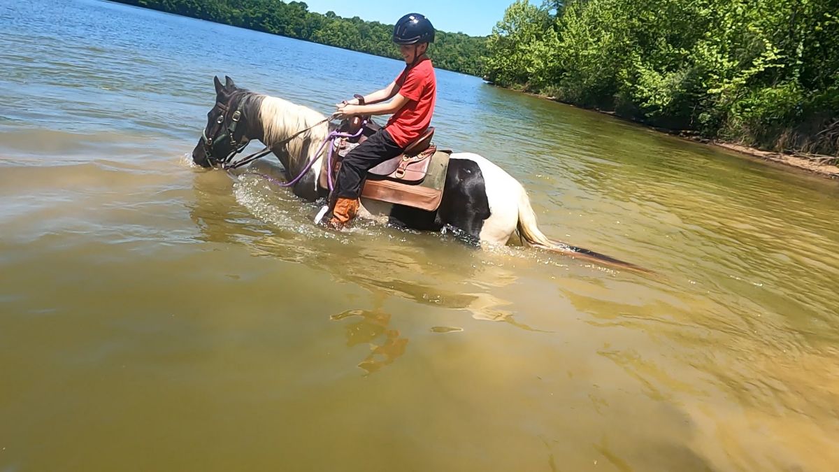
Shady, creek crossing
“Close to the parking” 2 mile loop
Can be access off the landbridge trail head
Single track and road
Fun not too steep not too narrow loop trail
Few hills/water cross

Hard pack gravel surface. Slight hills, some potholes. Recommend hoof boots on barefoot equines. Some interesting sights along the way.

Very open trail and lots of space to trot with your ponies
Has everything-woods, fields, ride to Burk property


Nice trail out in Red Canyon. Hill is steep and rocky for 1/4 mile. Road back is nice footing

Trail behind Linda's, goes behind Sharon's. Back to Hunter's ridge.
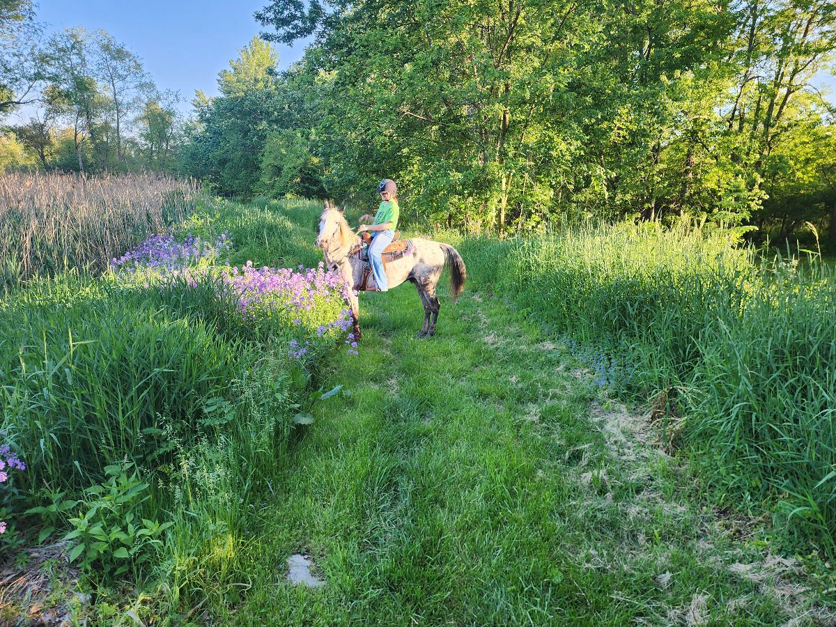
Wooded, open, some hills.
Loop around antoine peak
River Canal horse trails


Hill ride easy to moderate ride
Diverse footing and elevations. Lots of mud and hills, creek crossings, waterfall/cave area, and entry into the lake. Loved this trail. The actual length is more like 11 miles, but we missed some of the crossing points, I think. Some rocky spots, mostly dirt.
Trailhead at horse parking MOD/TECHNICAL

Consistent inclines up Mill Canyon as you summit Ridgeline Trail. About 4 solid Waterpoints, maybe more. Very very steep decline down to Forest Lake. Potentially 1000 to 1200 feet in .75 miles. Big drop offs and big rocks. Possible to walk with a confident in hand horse.
Nice intermediate trail

Easy loop trail. Should go early in the morning to get parking spot before cars arrive.
Horse loop plus Makanda boardwalk
FETA Peniel to Elaine’s

Tru and I ride this trail a lot
Start in middle of canyon. Head west on river bed going West, then turn north on steep single track.

Walden Pond Fairhsven road
Fun trail, lots of downed trees so parts impassable
Lots of muddy spots but marked well now. Bridges are nice. A bunch of fallen trees easy to step over.
Straight, flat, grassy, no traffic

Super easy and mellow trail!


Woods trails with 3 loops
Long busy roads and quiet roads
Through the dry creek to Vista to Silver Rock
Main Park entrance to spillway

Hunter pace with Jacqui

Harwood Lake but the long way around

Wooded , steady climb

we did half and kept getting lost
Easy with ducks and ponds
Gravel road, flat and straight. Pigs, cows and a cemetery.

Mostly our usual trail plus some deer chasing
Mostly grassy, wide trails
Island along the Mississippi River

Flat, wide, muddy. Easy.

East side of the blue trail with also riding the northern path around the corn field. Easy-moderate trails. Bugs - bring fly masks. Bridges.
Easy trail with minimal elevation change


Fields and wooded trails some rocky some private property follow markets black arrows on orange background.
Fun out and back trail in Horseshoe Bend Park, Frenchtown, NJ.

Intermediate/ challenging trail , rocky , Ôøº narrow , views on ridge
2nd entrance, South side horse trail, service road, service road exit.
Flat ridges multiple steep hills
Farmer's Daughter loop
Nice trail for a quick ride. There are part that share the path with bikers and strollers. You also walk past a playground and a dog park. Parts are wooded and part is a field. They have a mounting block.
All trails in the United States
Ready to explore the best equestrian trails in the United States? Equilab offers thousands of riding routes for scenic strolls, endurance training, and more. Discover verified trail maps to find the perfect path for your next adventure, and then track your ride – all using the world's best horse riding app.
FAQ about Equilab trails
You can explore these trails and many more within the Equilab app! Simply download the app onto your mobile device, create an account, and then head to the “Track” tab. There you can view thousands of trails to discover and ride.
No, Equilab empowers equestrians everywhere to discover and ride trails for free! By creating an account within the app (no payment needed), you will be able to see and ride all public trails. Our Premium subscription offers great additional features, which you can learn more about here.
You can control the visibility of any trails you create using Equilab by selecting different privacy options when saving the trails. If you choose to make a trail "Public", it will be visible here on our website and to anyone using the app. Private trails, on the other hand, are only visible to you and (if you're a Premium user) anyone you share them with. Note: If you rode on private property, we strongly recommend saving your trail as "Private".
Equilab’s list of trails currently only includes those that have been tracked by riders using the Equilab app. As a result, there are still many trails not yet included in our platform. Anyone can track trails and add them for free, however — giving you the chance to help others discover new places to ride!
Yes! You can add a trail from any ride you track using the Equilab app. To so, simply download the app, create an account, then record your ride on the trial.
Note that to create a trail, the ride must be at least 0.6 miles long, have taken at least 5 minutes, and must not have been tracked within an arena.
Our community members have added more than 35,000 public trails, and new ones are added every day. We hope you enjoy exploring them!

Contact our team
Feedback & Help
support@equilabapp.com
Press and Partnerships
marketing@equilabapp.com
Business Inquiries
admin@equilabapp.com


