


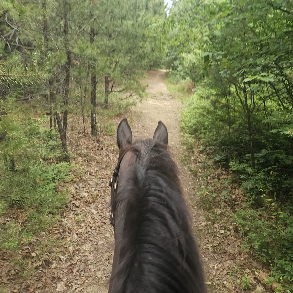
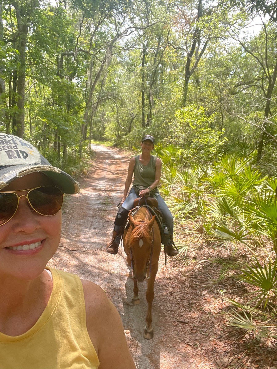
All horse trails in the United States


Ready to explore the best equestrian trails near you? Equilab offers thousands of riding routes for scenic strolls, endurance training, and more. Discover verified trail maps to find the perfect path for your next adventure, and then track your ride – all using the world's best horse riding app.
Most popular trails


Horsemen's to Electric camp, back to Horsemen's, out around lake


Entered park for Camping and parked at the end of the line by the open corn field. Sign trail maps easy to read around multiple locations with stars marking current spot. Some bridges. Open field border around most corn field with some well kept coops for jumping or go around.

Up and downhill lots of activity lots of stuff to see-

Uphill, and all over loll


3hr ride for rodeo
3.8 miles. Go through valley and obstacles. Up big hills and rock
Nice trails but newly uprooted tree blocked the trail.
Fun trail on East McMaster*Note*: This is not the complete trail.
Nice quiet trail through mostly woods crossed one paved road cooled off in the lake at the end!
Mixed trail of open grass and wooded trails

Ride around lake

Campground and equine trails

MUST have an experienced horse, but loads of fun. Cross under Hwy 80 and a train trestle. If you're lucky you'll get to the train when it's going by. You can park in the lot just outside Gate 12


1 hr from tunnel, soft dirt, dusty narrow but still nice

White reef Trailhead at Red Cliffs. Quail to Metate to Tibble to Adit and Leeds Reef.
Long loop around the lake
Lawrence Woods to lower right of way. Upper right of way on way back. Elephant Steps


Multiple obstacles include gate, cowboy curtains (fake chain and rope), weaving trees, bridge, tire tunnel, pole course, log crossLots of up and down with amazing views, mix of dirt/grass and stoney pathsMcmiller is near so gunshots are common as are large equipment in fields

Loop beings at the boggy bend and ends just ahead of it.
Rough total of 30 miles of trails available.

Single track jumping up and down rock ledges
Trail at southwest end of Branched Oak Lake, Nebraska

Down the creek front to back to front
Open field with woods on 4 sides.

Absolutely an amazing park enjoy this ride

Barefoot trail, is dogs on trail

Quite, calm national forest
Half is paved, half is dirt. Not a lot of traffic. Woods
Horse trail some rocky areas
Ups and downs with some muddy areas. Beautiful woods

Rocky in a lot of places

Diverse terrain. Some steep short inclines. Mostly sandy, some rocky areas, canyons, rock formations, desert spring, damn, Bosque areas.
Green to Orange to Green to Blue to Brown to White


Two different river trails


hilly with some rocks but gets to river

beautiful ride, easy trails. not real rocky
Medium good to canter at corn fields
Church entrance shortcut ride


Long gravel there and back
Beautiful shady trail line
In woods most of time. C was between fields and had breeze.
Area 15A lots of good canter spots. Flat. Narrow trails and some good two tracks with some open areas.

Rode with Molly and Mary

Wide for carriage access, fields
Blue trail to blue/white. Easy ride

Moderate trail with a climb
Lots of hills, ups and downs

River trail at cris’s

High single track, beautiful views
Easy. Shady and Sandy. Some water to cross
All trails in the United States
Ready to explore the best equestrian trails in the United States? Equilab offers thousands of riding routes for scenic strolls, endurance training, and more. Discover verified trail maps to find the perfect path for your next adventure, and then track your ride – all using the world's best horse riding app.
FAQ about Equilab trails
You can explore these trails and many more within the Equilab app! Simply download the app onto your mobile device, create an account, and then head to the “Track” tab. There you can view thousands of trails to discover and ride.
No, Equilab empowers equestrians everywhere to discover and ride trails for free! By creating an account within the app (no payment needed), you will be able to see and ride all public trails. Our Premium subscription offers great additional features, which you can learn more about here.
You can control the visibility of any trails you create using Equilab by selecting different privacy options when saving the trails. If you choose to make a trail "Public", it will be visible here on our website and to anyone using the app. Private trails, on the other hand, are only visible to you and (if you're a Premium user) anyone you share them with. Note: If you rode on private property, we strongly recommend saving your trail as "Private".
Equilab’s list of trails currently only includes those that have been tracked by riders using the Equilab app. As a result, there are still many trails not yet included in our platform. Anyone can track trails and add them for free, however — giving you the chance to help others discover new places to ride!
Yes! You can add a trail from any ride you track using the Equilab app. To so, simply download the app, create an account, then record your ride on the trial.
Note that to create a trail, the ride must be at least 0.6 miles long, have taken at least 5 minutes, and must not have been tracked within an arena.
Our community members have added more than 35,000 public trails, and new ones are added every day. We hope you enjoy exploring them!

Contact our team
Feedback & Help
support@equilabapp.com
Press and Partnerships
marketing@equilabapp.com
Business Inquiries
admin@equilabapp.com


