


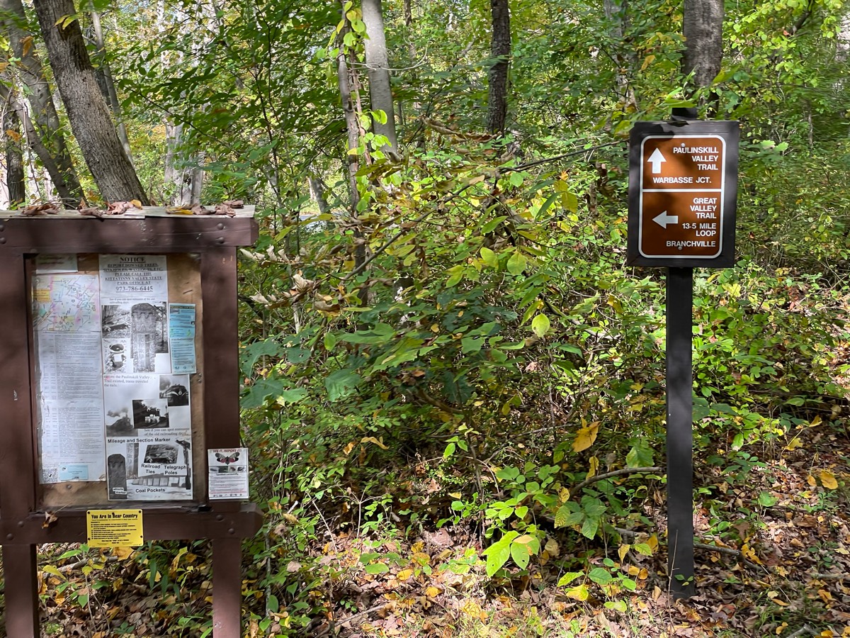
All horse trails in the United States


Ready to explore the best equestrian trails near you? Equilab offers thousands of riding routes for scenic strolls, endurance training, and more. Discover verified trail maps to find the perfect path for your next adventure, and then track your ride – all using the world's best horse riding app.
Most popular trails


Gorgous trail along the river and though park. Route along river for experienced riders as there are low limbs and a few “hazards” inexperienced riders can bypass and take road. Beautiful park and ride

Several hills and grassy areas


Some hills and a creek crossing
starts/ends directly across Sydney Elliotts Farm
Enter at first pond, exit at dinosaur.


18.7 miles Red Loop Sugarloaf endurance ride
Gallop field walk with the long way back goE
Need shoes and pads with traction. Very challenging trail. Rocky,buddy, and large hills.
Monument Rock via Rampart Range Ranch

Fire access roads hardly Rocky Good amount of hills, some steep About a 5 mile loop Parking lot available at Challenger Park unfortunately not really big But can handle a few trucks and trailers it has a turnabout .No water no bathrooms
good footing for trotting

short wood ride

Ôøº beautiful, lots of flat areas
Very scenic grassy trail with some areas with rocks
River-burltree- Megan larry’s link
From Hickman Springs Bed and Barn
Rocky with hills and wet from rain


Extremely challenging two hour trail ride

Deam Lake Trail and Three Hills Trail
Natural surface, windy and hilly in spots

Adds some pines. Easy loop
Roadway to first house besides the big curve.

A few hills, some areas that are muddy if its rained, pretty scenery, pretty easy going trail. There is a hunting area close by so orange is needed during hunting seasons.
Mostly trails and not 2 tracks

Big way. Rocky n w &e 2 day dark v bk big way
Bandera Creek > Spring Branch > Ice Cream Loop > Spring Branch > Wilderness > Merrick Mile

Shangri-La trail red to yellow to 49 and yellow back picking up red to finish loop
Easiest loop at trail of tears state forest

Easy trail to the fire

Sandtown trail is included.
Rina/ Rode with Molly
State park wooded trails
Sentinel Pine: several bridge crossings, steep hill with roots near where intersects Lane at north end (moderate to difficult level). Lane Trail easy level, suitable for nearly all (hoof boots recommended for all).
Trail has ups and downs but are wide.
Barefoot friendly
Horse trail in Fort Wayne, IN.
Great horse trail. Awesome views.


Ride in April to see cactus to the north. Ride south to the winery for a glass or bottle
Easy on the blue trail but hard work on the orange trail

Les Hilde Trailhead, trail took 4 hours with lunch stop

Medium grassy fields and trails

Trail to a field that chocolate needs to gallop in or he will lose his mind

Moderate, wide , good footing Ko

The trail loops around sparkleberry lake and is part of the econfina water management system of equestrian trails. It has beautiful views of the lake as you approach. Great ride, but parts are probably not for beginners.

Mostly flat with some slopes.
Trail through the neighborhood. Good practice for solo trips
Fairly flat mostly single track in the shade
All trails in the United States
Ready to explore the best equestrian trails in the United States? Equilab offers thousands of riding routes for scenic strolls, endurance training, and more. Discover verified trail maps to find the perfect path for your next adventure, and then track your ride – all using the world's best horse riding app.
FAQ about Equilab trails
You can explore these trails and many more within the Equilab app! Simply download the app onto your mobile device, create an account, and then head to the “Track” tab. There you can view thousands of trails to discover and ride.
No, Equilab empowers equestrians everywhere to discover and ride trails for free! By creating an account within the app (no payment needed), you will be able to see and ride all public trails. Our Premium subscription offers great additional features, which you can learn more about here.
You can control the visibility of any trails you create using Equilab by selecting different privacy options when saving the trails. If you choose to make a trail "Public", it will be visible here on our website and to anyone using the app. Private trails, on the other hand, are only visible to you and (if you're a Premium user) anyone you share them with. Note: If you rode on private property, we strongly recommend saving your trail as "Private".
Equilab’s list of trails currently only includes those that have been tracked by riders using the Equilab app. As a result, there are still many trails not yet included in our platform. Anyone can track trails and add them for free, however — giving you the chance to help others discover new places to ride!
Yes! You can add a trail from any ride you track using the Equilab app. To so, simply download the app, create an account, then record your ride on the trial.
Note that to create a trail, the ride must be at least 0.6 miles long, have taken at least 5 minutes, and must not have been tracked within an arena.
Our community members have added more than 35,000 public trails, and new ones are added every day. We hope you enjoy exploring them!

Contact our team
Feedback & Help
support@equilabapp.com
Press and Partnerships
marketing@equilabapp.com
Business Inquiries
admin@equilabapp.com


