


All horse trails in the United States


Ready to explore the best equestrian trails near you? Equilab offers thousands of riding routes for scenic strolls, endurance training, and more. Discover verified trail maps to find the perfect path for your next adventure, and then track your ride – all using the world's best horse riding app.
Most popular trails


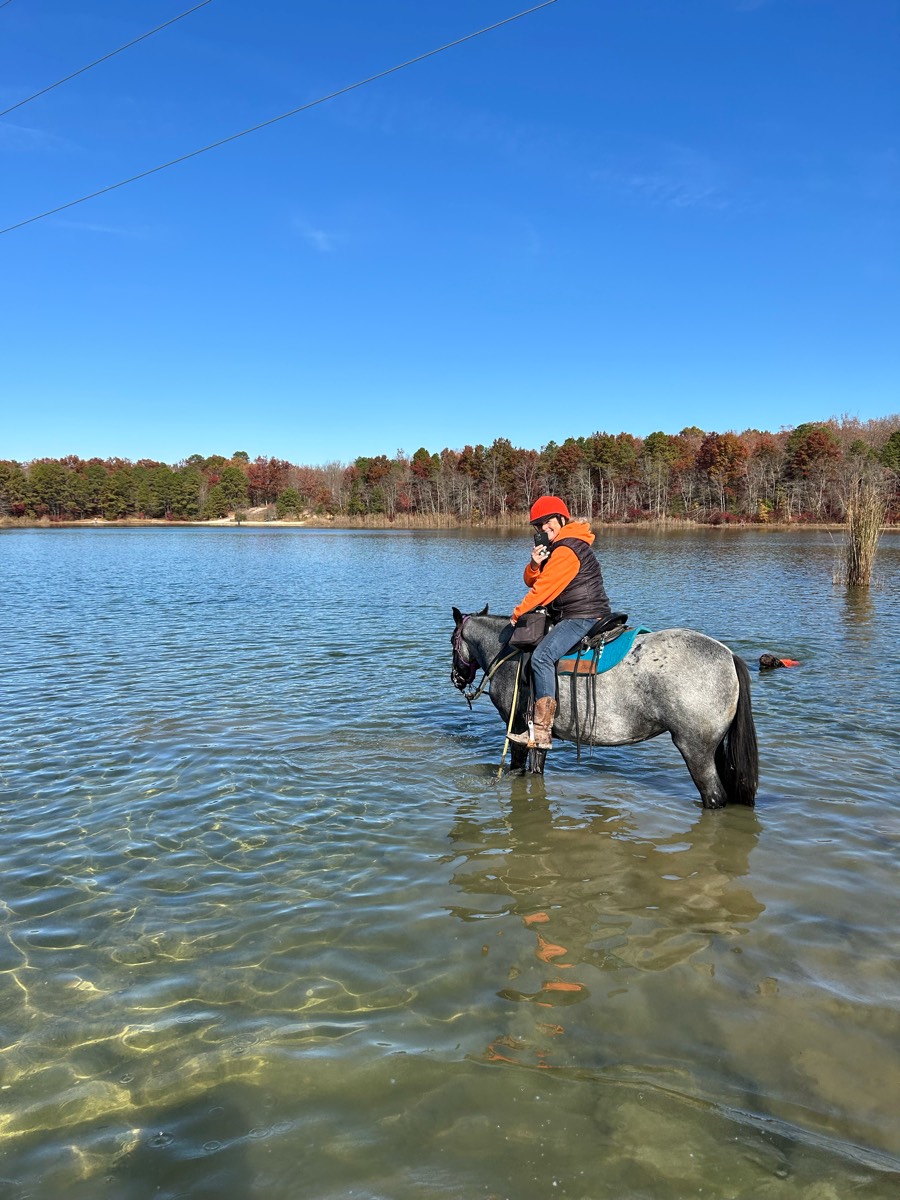
We rode counterclockwise and did not do most of the jump trails. Nice view of the reservoir. Ôøºgood hills - could be muddy Ôøº

Keosh #35 73 Chaborne Rd. Standish
Equestrian side of Davis Mountain State Park - TH to scenic trail and back. App messed up on way down and tracks showing straight line when not.
Soft sand easy ride

Road with single track. Only horses and hikers allowed.

Tina, Benny, Me & Cecilia

Jordan Lake game lands Mason point
Across wind creek rd, walk through creek

Not a bad trail but buggy

Lots of rocks and up and down in canyons Ôøº
Midnite dawn to wildwood park’s oak trees
Trail Trial #1 recon

rocky, lots of creek crossing.
Loop around pond to entrance

Fechtel Rd from Campground to Grade and Jeep
Rocky, hilly. Check in at ranger station w/fee & Coggins. Overnight stall rentals.
Beginning conditioning loop for endurance. Quick and easy ride
Good trail for running my pony.
Grassy, wooded, bridge


Eastern loop at Vermillion Highlands, AKA UMORE
Dirt road to beautiful farm with vultures.
Back in saddle for me n Max.
Up and down the mountain
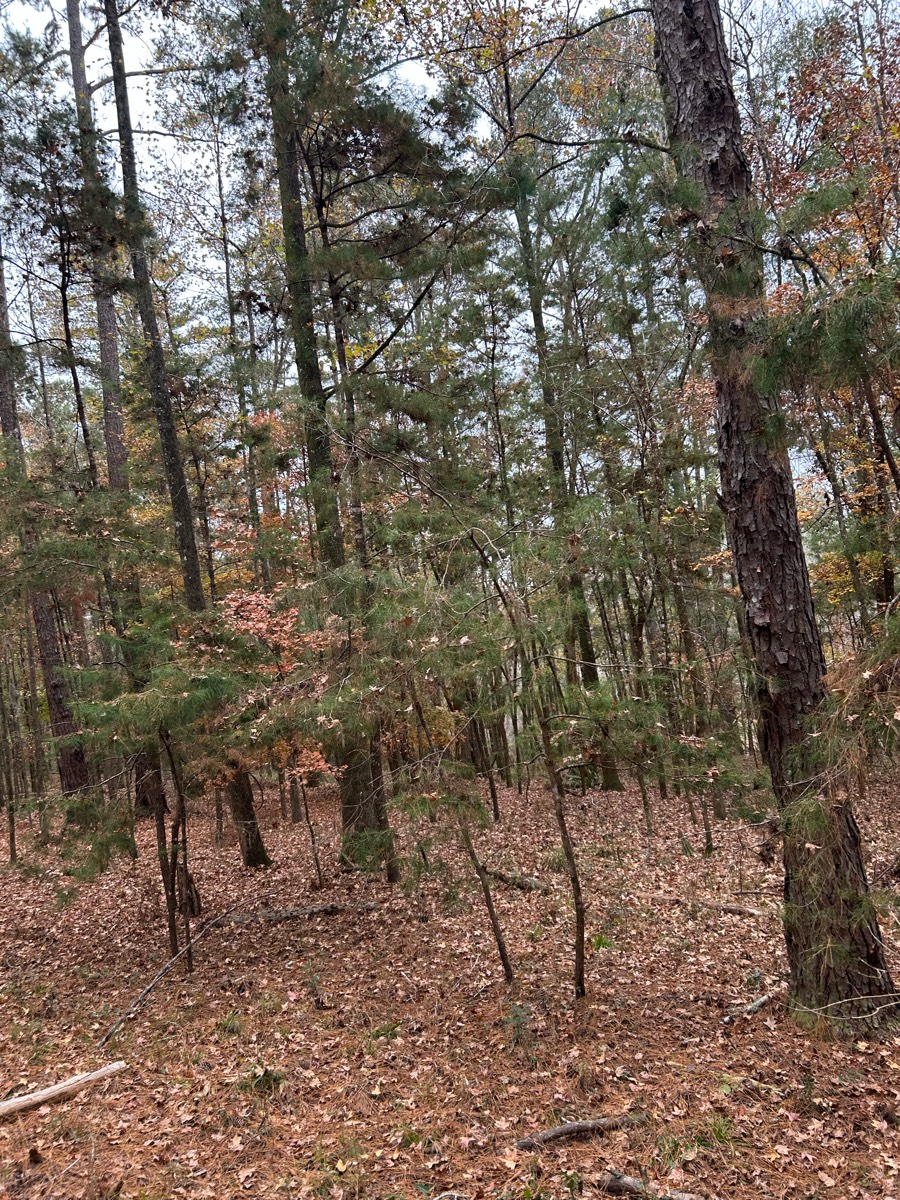
Beautiful ride through pines

First time riding out at Shimek Park!

Partly on asphalt road but mostly dirt. Three levels of climb. Beautiful views. Occasipnally some dirt bikes but are respectful. Great work out for horse and rider.


Waterfall to River Road to FENCE to Pretty Bottom

Fire road/boy scout trail
Easy flat trail with minimal rocks
Margarette Falls parking area. Moderately rocky. 13 creek crossings of moderate difficulty.
Grassy, woods, gorgeous

some rocks, flat, hills
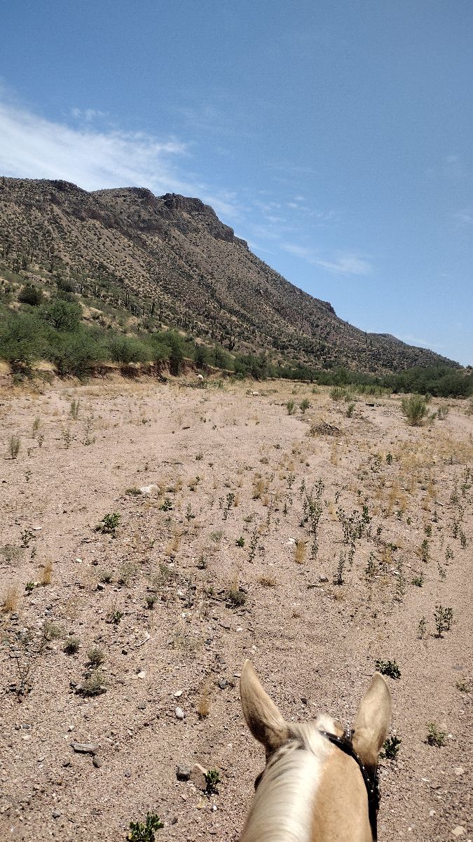
Sandy rd to wash to open desert

Rocky trail but very easy and very little foot traffic

Loop of pea ridge military park

3 mile loop from trailers
Black Forest Colorado
wooden and water

Technical trail that does require climbing rocks and steering around trail obstacles. Horse should be fit. It took us over 6 hours.
Sandy Wash thru a canyon
Beautiful Old Florida mix of uplands and wetlands

4.5 mountain and meadow trail

Umm... Not the way back to greystone from the water fall.
Mostly cleared trails
Forbidden Drive and the trail leading to the treehouse, mostly flat with one or two up hills no

SUNY ow pace trail - easy to get lost if you don’t know. Maintained by The Smithtownhunt Hunt for two events a year.

Trail thru state park woodlands hip
Rocky in the beginning. Got on to bicicle trail
Trail is under a canopy of trees and also in the wash San Pedro river
Matthew's loop with exploring across 234
Has hills and flat. Rocky in some sections. Beautiful views.
Fire Rd., Trail. Flat. Pretty lake. One stream crossing.
Through treetops into the ridge.
A section of trail along the Trinity Trail in Lucas, TX

With Kevin and Fury, headed out on a quick loop to the picnic benches and came back to meet with Sandy and Christy. Jewel did great and we walked the rest back alone as Kevin wanted to let Fury run. Beautiful day⭐️⭐️⭐️


Nice easy good footing
West stanly saddle club 2024
Mostly flat, quarry trail, bike trail. Shady trail
All trails in the United States
Ready to explore the best equestrian trails in the United States? Equilab offers thousands of riding routes for scenic strolls, endurance training, and more. Discover verified trail maps to find the perfect path for your next adventure, and then track your ride – all using the world's best horse riding app.
FAQ about Equilab trails
You can explore these trails and many more within the Equilab app! Simply download the app onto your mobile device, create an account, and then head to the “Track” tab. There you can view thousands of trails to discover and ride.
No, Equilab empowers equestrians everywhere to discover and ride trails for free! By creating an account within the app (no payment needed), you will be able to see and ride all public trails. Our Premium subscription offers great additional features, which you can learn more about here.
You can control the visibility of any trails you create using Equilab by selecting different privacy options when saving the trails. If you choose to make a trail "Public", it will be visible here on our website and to anyone using the app. Private trails, on the other hand, are only visible to you and (if you're a Premium user) anyone you share them with. Note: If you rode on private property, we strongly recommend saving your trail as "Private".
Equilab’s list of trails currently only includes those that have been tracked by riders using the Equilab app. As a result, there are still many trails not yet included in our platform. Anyone can track trails and add them for free, however — giving you the chance to help others discover new places to ride!
Yes! You can add a trail from any ride you track using the Equilab app. To so, simply download the app, create an account, then record your ride on the trial.
Note that to create a trail, the ride must be at least 0.6 miles long, have taken at least 5 minutes, and must not have been tracked within an arena.
Our community members have added more than 35,000 public trails, and new ones are added every day. We hope you enjoy exploring them!

Contact our team
Feedback & Help
support@equilabapp.com
Press and Partnerships
marketing@equilabapp.com
Business Inquiries
admin@equilabapp.com


