


All horse trails in the United States


Ready to explore the best equestrian trails near you? Equilab offers thousands of riding routes for scenic strolls, endurance training, and more. Discover verified trail maps to find the perfect path for your next adventure, and then track your ride – all using the world's best horse riding app.
Most popular trails


Blue yellow and orange trail
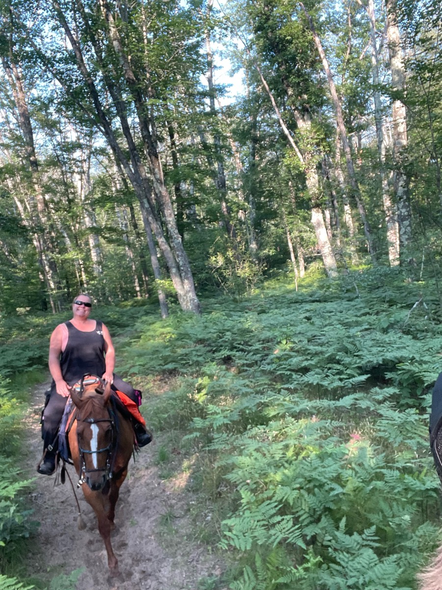
Fun open and woods
Little rocky in spots, some small hills.
Nice easy relaxing trail. Wouldn’t recommend for speed, lots of holes and deep mud after it rains.

Very technical. Need a sure footed horse in good shape with a good mind. Hoof protection all around highly recommended. Some barking dogs in a few places, but overall a very nice trail

Nicely shaded wide trails

Really beautiful trail.
Cedar Rock Equestrian Trail
Nice ride except bushes

MCWMA small loop with stop at Wagonshed campsites 1&2 for water

Deep sand in places

Not sure why but it subtracted some miles when I went to add the trail. This was somewhere between 8.7-9 miles
Nice trail, went to side of trail many times Ôøº


Hilly, dirt road first then into woods. Might have trees blocking, just go around. Gets grassy further in. Could go father then what we went.

Go down road and take right to first set of corrals. Trail is riding left up road then I think right onto a trail. When get to a Y go straight to get to river. We did not go straight so map will not match from that point. Encountered a group of cyclists on way back but calm most.

Open Friday-Monday 9am-5pm. Lots of hills but the views are incredible. Plenty of space to do some stepping out too
Trail is well marked and easy to ride.
A meandering path that loops back to the trailer parking halfway through.
Easy terrain and a great spot for a quick training ride


Hard Trail very strenuous a lot of up and down with very limited flap spots horses need to be conditioned for this Trail
River crossings, nice trails

Trail starts almost straight up. Need to have a very fit horse and boots or shoes all around. Beautiful views
Fenced gravel road with some road crossing
Part of blue then cut to yellow water
Mountains mud hills fields cacti
Nice wooded ride
Left out of barn driveway, right bottom of hill, right at street sign
Less bugs and no water crossing
Juniper to lighthouse parking lot
Trails thru woods and around ponds.

Nice trail with some difficult ups and downs. some parts are hard to follow but trails are well marked and many signs to tell you where to go. overall pretty wide trail with some narrower parts

Flat, trees, cement, multiuse

Beautiful uplands with lots of wildlife

Takes you to the lake
Lookouts and Ridge trail
2.25 hour loop at walk
Hard, rocky, water crossings.
Blue trail 15 miles and pink trail 10 miles
Rocky will need good protection. Do NOT go in the spring, the bugs are extremely bad then! Summer and fall is great for this ride. The trail does stop a few miles past what is tracked here, it’ll be a down and back trip not a loop.
Along the river and over 2 wooden bridges. Magnum took the ditches. V brave!

Blue trail, off on random trail, then returned on blue trail to camp
Location off home property
A combination of fire lines and established trails
Two tracks single track

Very muddy very thick mud

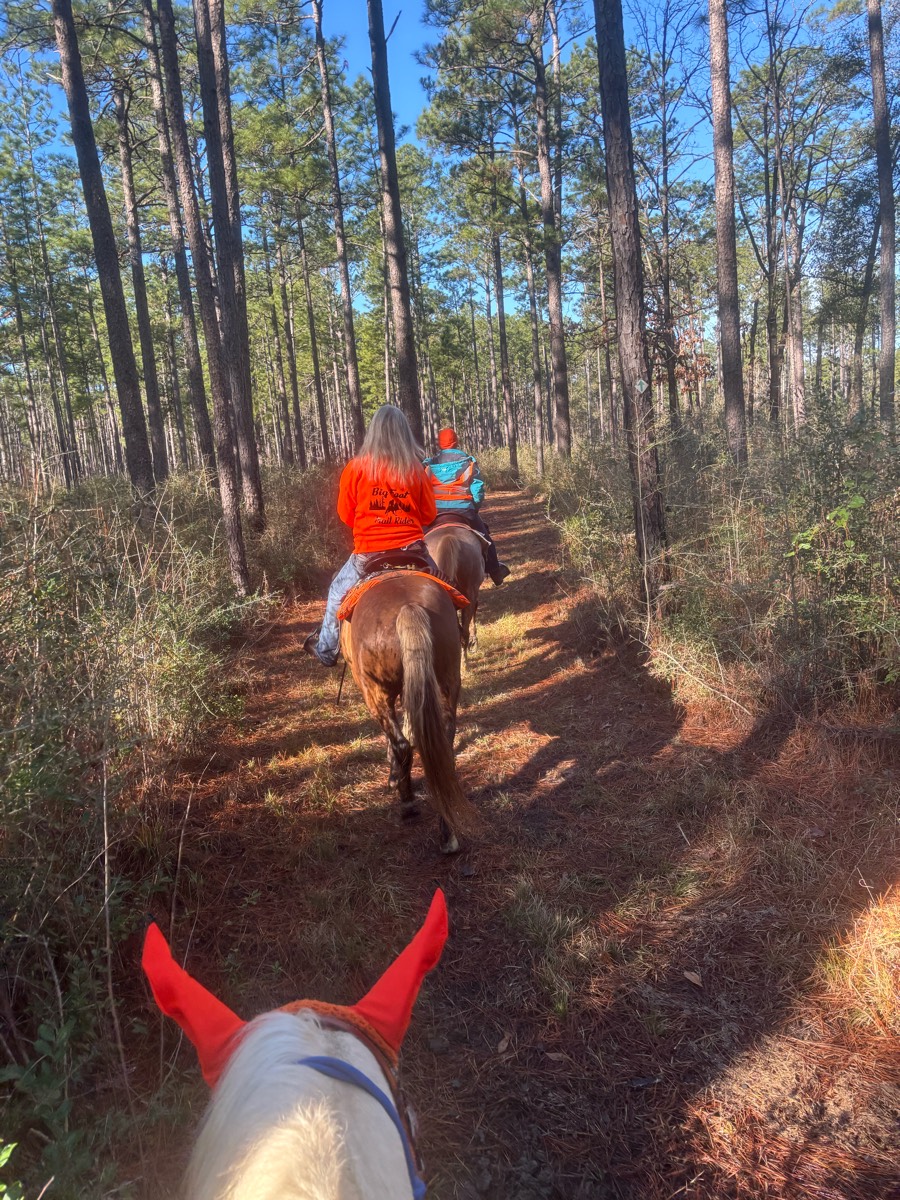
High Country, Campfire Pass, Tinkerbell’s trail and Dudes draw. Plenty of hills. 1 water crossing.

Part of Pine Top Farm in WV

Horse trail. Bills creek loop is marked with pink and black ribbons. Also white doymts on trees.
Clean quite water crossings
A track around a farmers field
Mostly flats some hills then a flat stretch good for running horses

Spots were Kind of rocky, tiny water crossing then nice big creek at the end of trail, nice trail
Donna, Ginger, Carol R., Tonia, Jenny S, me

Out to Prosser and back

San Vicente Creek


Mostly road and beautiful views
Easy schooling trail
Access rd to other side of a frame
Hauser lake trailhead
Trail to 21 horse cave
All trails in the United States
Ready to explore the best equestrian trails in the United States? Equilab offers thousands of riding routes for scenic strolls, endurance training, and more. Discover verified trail maps to find the perfect path for your next adventure, and then track your ride – all using the world's best horse riding app.
FAQ about Equilab trails
You can explore these trails and many more within the Equilab app! Simply download the app onto your mobile device, create an account, and then head to the “Track” tab. There you can view thousands of trails to discover and ride.
No, Equilab empowers equestrians everywhere to discover and ride trails for free! By creating an account within the app (no payment needed), you will be able to see and ride all public trails. Our Premium subscription offers great additional features, which you can learn more about here.
You can control the visibility of any trails you create using Equilab by selecting different privacy options when saving the trails. If you choose to make a trail "Public", it will be visible here on our website and to anyone using the app. Private trails, on the other hand, are only visible to you and (if you're a Premium user) anyone you share them with. Note: If you rode on private property, we strongly recommend saving your trail as "Private".
Equilab’s list of trails currently only includes those that have been tracked by riders using the Equilab app. As a result, there are still many trails not yet included in our platform. Anyone can track trails and add them for free, however — giving you the chance to help others discover new places to ride!
Yes! You can add a trail from any ride you track using the Equilab app. To so, simply download the app, create an account, then record your ride on the trial.
Note that to create a trail, the ride must be at least 0.6 miles long, have taken at least 5 minutes, and must not have been tracked within an arena.
Our community members have added more than 35,000 public trails, and new ones are added every day. We hope you enjoy exploring them!

Contact our team
Feedback & Help
support@equilabapp.com
Press and Partnerships
marketing@equilabapp.com
Business Inquiries
admin@equilabapp.com


