All horse trails in the United States


Ready to explore the best equestrian trails near you? Equilab offers thousands of riding routes for scenic strolls, endurance training, and more. Discover verified trail maps to find the perfect path for your next adventure, and then track your ride – all using the world's best horse riding app.
Most popular trails


Intermediate/ challenging trail , rocky , Ôøº narrow , views on ridge


Loop around Monkey Mountain


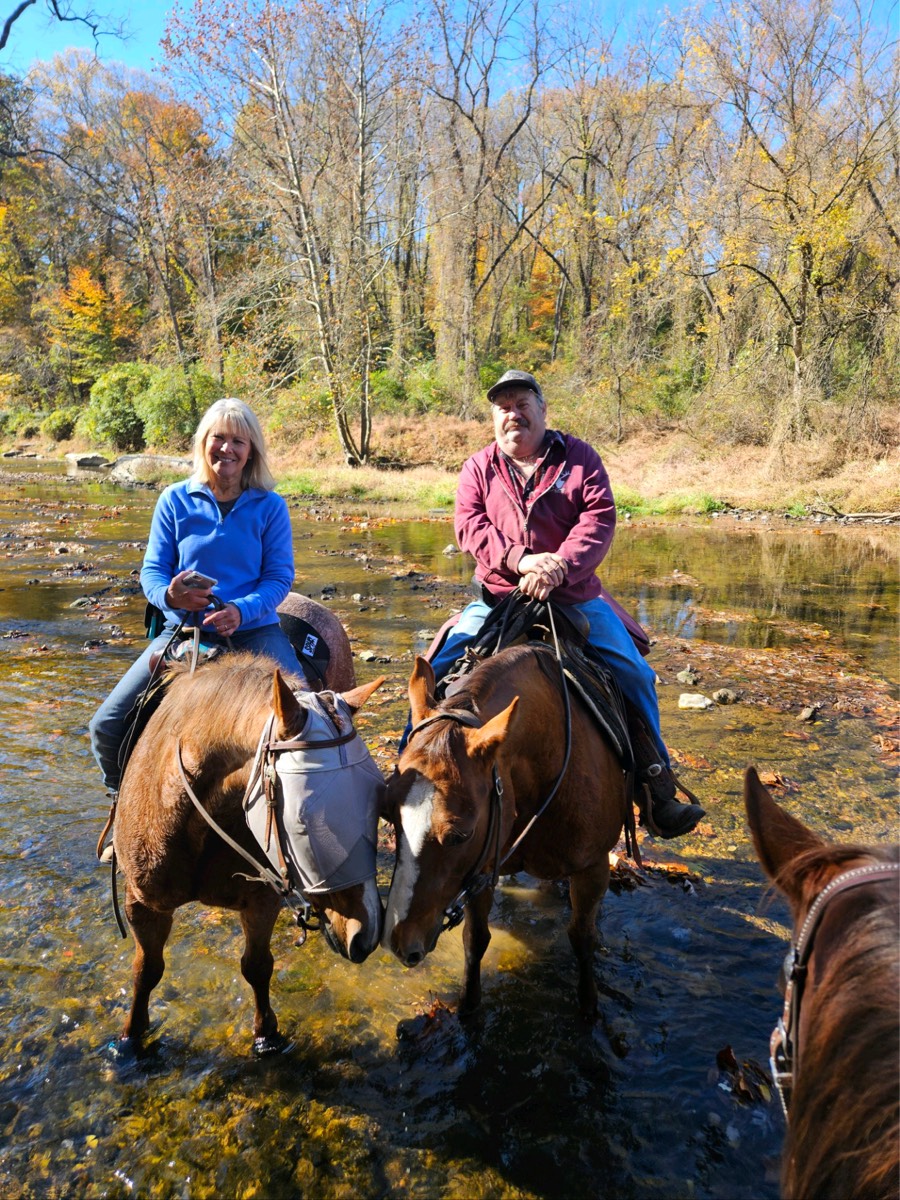
Ride to the grill with Cynthia and Jeff


Mostly sand and open


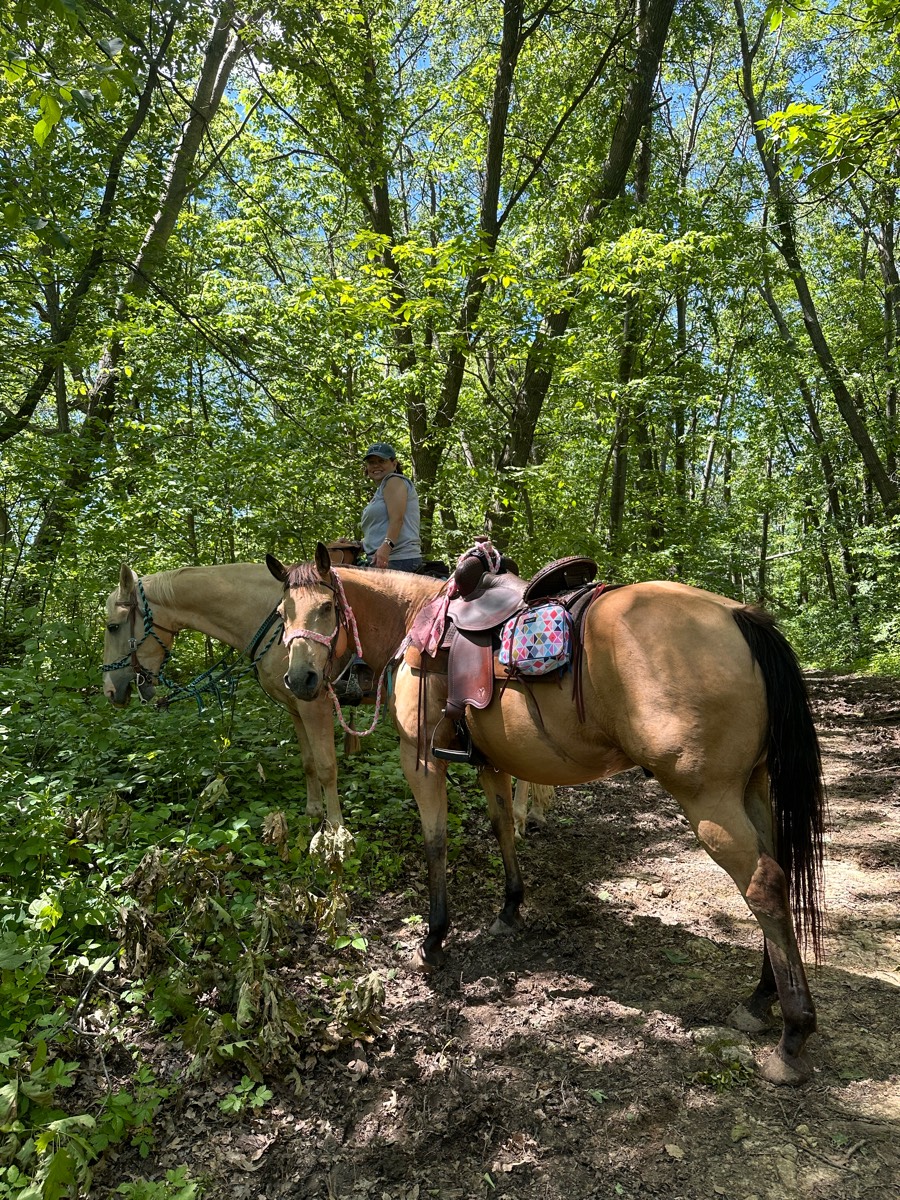
First half woods Last half fields and rocky road


Starting from the back of the barn going right, goes past trailer parking, pool, camp ground entrance and buddist temple, back to the barn.(~45min ride)


Road,trail,road,home.


Mix of hills and flat, wide trails through the treese


Little rocky in spots, some small hills.


Sand some rock only a couple hills


Beautiful trails!


Gentle incline. Hikers and bikers yield to horses


Upper greenhorn creek trail connecting with beckworth trail for intermediate and advanced rides


Ok but there are some parts that are narrow-take it slow.


Nice trail that merges with hiker trail.


Half is paved, half is dirt. Not a lot of traffic. Woods


Lots of downed trees in areas but trail is rideable


Mostly diet. Hills. Water.


From Bullards Beach State Park horse camp


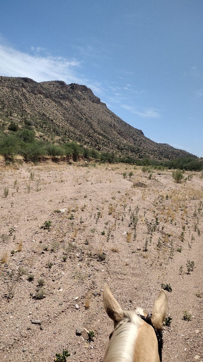
Sandy Wash thru a canyon


Woods, rocky, I got lost/turned around


Waterloo - Michigan State Park


Can be very technical in some areas, pretty views, mostly narrow trails, lots of vegetation.


Moderate challenge to the beach


Trail includes a bridge over the highway that is closed to cars. No known trailer parking


Mountains mud hills fields cacti


Rail trail and equine trail


Not marked for trail riding at all. We rode on hunting trails and around fields


9 miles, avoids 15; ends at creek; start at camping; end at staging


Great trail with short walk on paved road- awesome sand road! Great for conditioning


Rocky with hills and wet from rain


Easy wandering trail. SomeRocks where trail was repaired. Good uphills. Shaded with also some nice meadows.


Loop used by Equine Community Resources for their September trail challenge and poker ride fundraiser. No water in camp. Hoof protection recommended.


Guided Equestrian Rides - Reservations Required


Sandy, wide, flat trails


Joder Ranch off trail, around the mountain.


Coldwater red/blue/yellow with road gallop


Head to cow camp from Crossroads, then climb up to see the gorgeous mountains and greenery


The trail is only hard if you take the hard paths but other than that it it an easy trail.


Goes to gravel pit and back


Ride to PCH and back home


Good mix of trails


Aqueduct trail to the end of Littlefinger road


4.5 mountain and meadow trail


Light sandy gravel


Moderate to Easy


Scatter creek


Beautiful wide trails for equestrians


Beautiful easy flat trails!


Not a trail, the road.


Down willow straight to main stage and back up malito


Nice, wide snowmobile trails. Some steep hills. Great footing and some beautiful views!


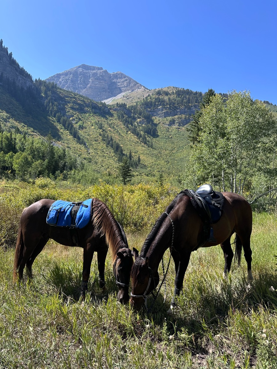
You can do this trail from timpanooke or salamander to shorten it. Camping up on the equestrian loop just past timpanooke trailhead. 3 decent climbs but forgiving in nature. 2-3 water stops. Roots but low on rocks. Nice views. Busy at trail junctions and 2 road crossings.


8 mile loop & 10 mile loop


Mainly back roads, just a small amount of Lil by pass


Rode with Molly and Mary


Mostly level, some rocky areas.


Grass has woods be careful for holes


First time at Hayes. Trails were extremely muddy.


Main loop I do. Good footing and has a stop by the creek. Single track on way out with nice smooth double track most of the way home. Safe to ride barefoot.
All trails in the United States


Ready to explore the best equestrian trails in the United States? Equilab offers thousands of riding routes for scenic strolls, endurance training, and more. Discover verified trail maps to find the perfect path for your next adventure, and then track your ride – all using the world's best horse riding app.
FAQ about Equilab trails
You can explore these trails and many more within the Equilab app! Simply download the app onto your mobile device, create an account, and then head to the “Track” tab. There you can view thousands of trails to discover and ride.
No, Equilab empowers equestrians everywhere to discover and ride trails for free! By creating an account within the app (no payment needed), you will be able to see and ride all public trails. Our Premium subscription offers great additional features, which you can learn more about here.
You can control the visibility of any trails you create using Equilab by selecting different privacy options when saving the trails. If you choose to make a trail "Public", it will be visible here on our website and to anyone using the app. Private trails, on the other hand, are only visible to you and (if you're a Premium user) anyone you share them with. Note: If you rode on private property, we strongly recommend saving your trail as "Private".
Equilab’s list of trails currently only includes those that have been tracked by riders using the Equilab app. As a result, there are still many trails not yet included in our platform. Anyone can track trails and add them for free, however — giving you the chance to help others discover new places to ride!
Yes! You can add a trail from any ride you track using the Equilab app. To so, simply download the app, create an account, then record your ride on the trial.
Note that to create a trail, the ride must be at least 0.6 miles long, have taken at least 5 minutes, and must not have been tracked within an arena.
Our community members have added more than 35,000 public trails, and new ones are added every day. We hope you enjoy exploring them!


