


All horse trails in the United States


Ready to explore the best equestrian trails near you? Equilab offers thousands of riding routes for scenic strolls, endurance training, and more. Discover verified trail maps to find the perfect path for your next adventure, and then track your ride – all using the world's best horse riding app.
Most popular trails


Great wide trails. Shoes needed. All rocks. Super great for large groups and beginners to get comfortable with trails.
Some hills mostly flat

Riverbed and residential
Trail three and around the stables Ôøº
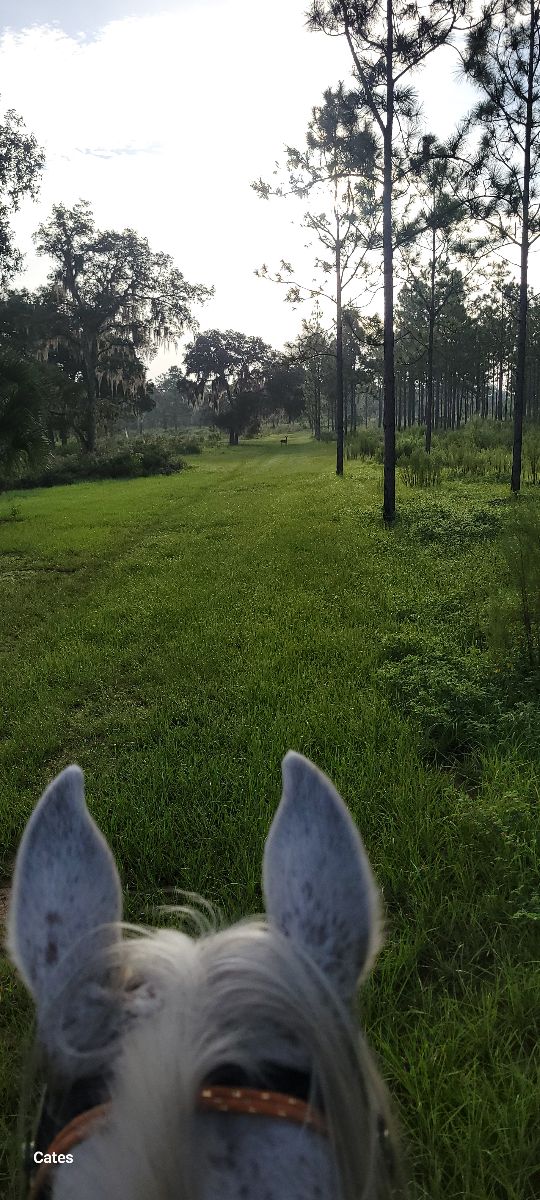
Endurance practice
Jacktown 50 acre wants emergency exit home

Easy, flat terrain with lots of trees
Beautiful winding trail
Woody, hilly, challenging
Red & Across street
Woods and fields around Dutch Hollow Lake
Nice black dirt. Great trail ride besides the rain
Around lake, Buckeye, past goats & down driveway to barn
Pavement into rolling dirt roads over hills through wheat fields
Brittons and brick end
By river and beach and creek loop back iver bridge
Easy flat trail, some patches of deep sand and gravel. No facilities for horse or rider. Wildlife such as deer, bear, small animals. Shared use with walkers and bike riders. Dogs welcome on a leash. Great place to pick blackberries.
Flat with some hills near the lake

Upper and lower trails. Lots of shade.
Left from campground. High trail
North from General Squire Park

Red, white and blue trails. Mostly flat and wide with a few hills at creek crossings
Lovely hills and climbs. Water crossings.

Rocky with some smooth areas
Washington parkway trail St. George
Mountains and rocky.
Loop through water
Wooded and along the river.
Nicely marked trails with a mixture of trees and open fields.

Great trail to leg up your horse.
River crossing to narrow forest trail.
Started at the NE 126th street parking lot
Picnic table vista point counter clockwise on coyote canyon preserve
Start a primitive camp and take Josh, take unmarked right trail before you get to the paved Road. Reached dead end and turned back, next time take a right on the clear trail not a left. Ôøº
Rocky and climbing good for conditioning a good trail horse

This is another trail that is part of Bridlewild. Become a member to get a map and explore all 40 miles of trails! https://www.bridlewildtrails.org/ My home is a part of this trail system, so PLEASE park in the road, or park at Henry park!
Blue, purple, yellow, orange, and green.
Lake Lavon. Texas

Blue, white/yellow, and some red markers
9 miles, creek at the end

Very pretty. Well groomed terriable horse trailer parking. Very small
rocky ups and downs

Little rocky, two steep hills, some rally nice areas for trotting and cantering.
Rocky, steep inclines, narrow. Hoof protection recommended. $5 fee for use as of 2024
Light traffic; grassy equine trails with shared trail crushed gravel

Wash, dirt Road & some hills


Gradual incline. Some mud spots but not bad


Beautiful views/scenery.
Turkey Hill to Cooks Mesa and back.
Flat, some small ups and downs.
Piney wood follows a stream
Mostly wooded, you have to cross one hard surface two mo lane Road
All trails in the United States
Ready to explore the best equestrian trails in the United States? Equilab offers thousands of riding routes for scenic strolls, endurance training, and more. Discover verified trail maps to find the perfect path for your next adventure, and then track your ride – all using the world's best horse riding app.
FAQ about Equilab trails
You can explore these trails and many more within the Equilab app! Simply download the app onto your mobile device, create an account, and then head to the “Track” tab. There you can view thousands of trails to discover and ride.
No, Equilab empowers equestrians everywhere to discover and ride trails for free! By creating an account within the app (no payment needed), you will be able to see and ride all public trails. Our Premium subscription offers great additional features, which you can learn more about here.
You can control the visibility of any trails you create using Equilab by selecting different privacy options when saving the trails. If you choose to make a trail "Public", it will be visible here on our website and to anyone using the app. Private trails, on the other hand, are only visible to you and (if you're a Premium user) anyone you share them with. Note: If you rode on private property, we strongly recommend saving your trail as "Private".
Equilab’s list of trails currently only includes those that have been tracked by riders using the Equilab app. As a result, there are still many trails not yet included in our platform. Anyone can track trails and add them for free, however — giving you the chance to help others discover new places to ride!
Yes! You can add a trail from any ride you track using the Equilab app. To so, simply download the app, create an account, then record your ride on the trial.
Note that to create a trail, the ride must be at least 0.6 miles long, have taken at least 5 minutes, and must not have been tracked within an arena.
Our community members have added more than 35,000 public trails, and new ones are added every day. We hope you enjoy exploring them!

Contact our team
Feedback & Help
support@equilabapp.com
Press and Partnerships
marketing@equilabapp.com
Business Inquiries
admin@equilabapp.com


