


All horse trails in the United States


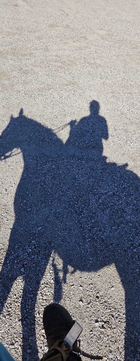
Ready to explore the best equestrian trails near you? Equilab offers thousands of riding routes for scenic strolls, endurance training, and more. Discover verified trail maps to find the perfect path for your next adventure, and then track your ride – all using the world's best horse riding app.
Most popular trails


Sandy, rocky trail
Flat with roads and woods. Also an obstacle course.


Trails need to be mowed and maintained. Footing was ok, but very wet in some areas. Also, VERY buggy! The incline at the creek was very dangerous. It is not due to horses! It’s obvious it’s caused by ATV’s or other motor vehicles.

Paved road for cars.Riding pasture to pasture


This trail has both incline and descent. Can be very active during certain times/ days. Most people hiking using the disc golf course or with dogs a r very respectful. There is a skate part and pickle ball course also. Water and rocky terrain.
Lake loop and Hollis ranch loop
Mix of road, trails, steep hills and lots of rocks
Down to five corners then blue loop and up cinder Road

Some steeper sections, tree roots. Elk present. Cougar sighting.
Good need front shoes, or boots some gravel areas
Flat 2-3 hills

Hills, Slate, Beautiful views
Down to the river and up switch backs

Beautiful, peaceful, all wooded, rocky, some roller coaster hills, some long steep hills up and down, lots of creek beds but dry right now with drought 10/09/2024. Forked a lot so will have to keep an eye on tracker to know which ways to go until learned.
Fairly easy would not go on Saturdays
Rugged & Gravel roads.
Rolling hills with gorgeous views.
Christian Cemetery to Mill…to Tar Klin
Service Road to San Tan to Goldmine
Cool down or warm up
Moderate climb. Beautiful views.
Around horse pen to Pineridge..a bit over grown in spots
Good loop to get a variety, a little walking lots of trotting and a few canter spots. Fun ride.
Scenic, Rocky, lots of incline, creeks to cross
Start out at power lines at Diamond D then cross over to Long Branch. Fun ride
Ôøº Part of Fox Hollow. Out gate by gallop Hill.


tons of trails to Vere off on, crosses cold water, soft ground.
Easy trails. A mix of woods and meadows
Keep taking lefts going out

Awesome following the lake.

Need shoes ,rocky , steep.. great ride
Pomfret forest, airline trail and loop through part of Natchaug State Forest to Mashamoqet brook state park

Pretty, hilly trail through woods. Dirt trail is mostly rocky. Restroom at parking area.
A lot on the road

State forest near McCully

Concrete with grass sides wide enough to ride
Nice covered trail in Pine forest.
Good climb and good views

Near Fairchild State forest park ride from TRR
Very buggy today . Need quiet ride mask and lots of fly spray .

Some asphalt and some dirt trail off to the side of asphalt. Busy trail with lots going on! Looks deceptively easy but horses tend to be very excited every time Ive ridden this, no matter what horse i am riding. Not for beginner riders.


Along Suwannee River

Easy trail. Pretty woods and the lake is beautiful!
Estray Creek - short version for slower beginner ride
High cliff state park south trail

A soft and easy trail in cave creek
TETRA trail ride lead by Gene!

Great campground with bathroom, picnic tables.

Off road and dirt road
Hard trail with newbies
Branched Oak Trail 1


Amazing barefoot friendly trail with water access, trailer parking, shaded trails, arena, and round pen.
Nice forest, winding trail, stop for lunch at canp

Deep sand in some parts
Just going onto the street around the barn
L9ng and quiet
All trails in the United States
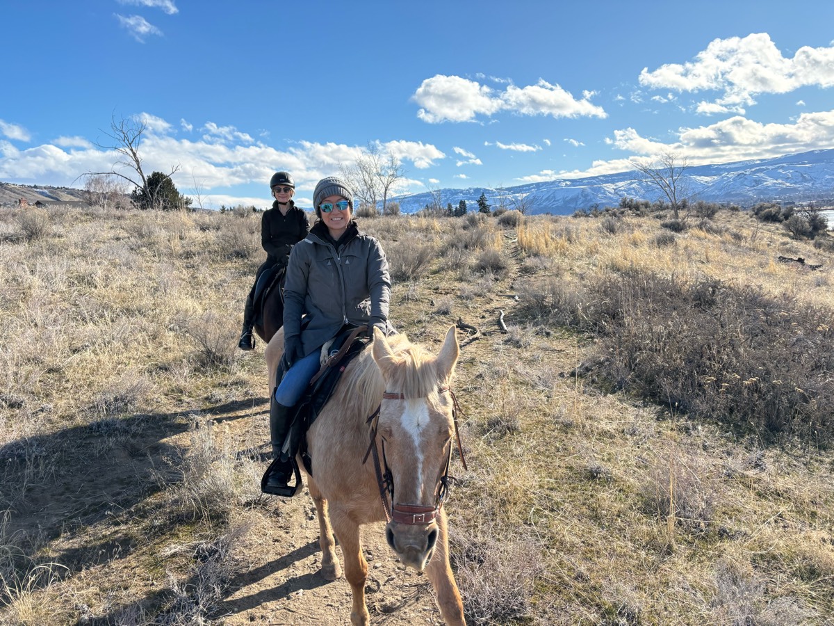
Ready to explore the best equestrian trails in the United States? Equilab offers thousands of riding routes for scenic strolls, endurance training, and more. Discover verified trail maps to find the perfect path for your next adventure, and then track your ride – all using the world's best horse riding app.
FAQ about Equilab trails
You can explore these trails and many more within the Equilab app! Simply download the app onto your mobile device, create an account, and then head to the “Track” tab. There you can view thousands of trails to discover and ride.
No, Equilab empowers equestrians everywhere to discover and ride trails for free! By creating an account within the app (no payment needed), you will be able to see and ride all public trails. Our Premium subscription offers great additional features, which you can learn more about here.
You can control the visibility of any trails you create using Equilab by selecting different privacy options when saving the trails. If you choose to make a trail "Public", it will be visible here on our website and to anyone using the app. Private trails, on the other hand, are only visible to you and (if you're a Premium user) anyone you share them with. Note: If you rode on private property, we strongly recommend saving your trail as "Private".
Equilab’s list of trails currently only includes those that have been tracked by riders using the Equilab app. As a result, there are still many trails not yet included in our platform. Anyone can track trails and add them for free, however — giving you the chance to help others discover new places to ride!
Yes! You can add a trail from any ride you track using the Equilab app. To so, simply download the app, create an account, then record your ride on the trial.
Note that to create a trail, the ride must be at least 0.6 miles long, have taken at least 5 minutes, and must not have been tracked within an arena.
Our community members have added more than 35,000 public trails, and new ones are added every day. We hope you enjoy exploring them!

Contact our team
Feedback & Help
support@equilabapp.com
Press and Partnerships
marketing@equilabapp.com
Business Inquiries
admin@equilabapp.com


