


All horse trails in the United States


Ready to explore the best equestrian trails near you? Equilab offers thousands of riding routes for scenic strolls, endurance training, and more. Discover verified trail maps to find the perfect path for your next adventure, and then track your ride – all using the world's best horse riding app.
Most popular trails


Very shaded, not the land bridge
Part of shore-to-shore trail and unmarked logging roads

A little bit of river, springs, forest, picnic tables, shaded and sun trails.


Beautiful mountain trail

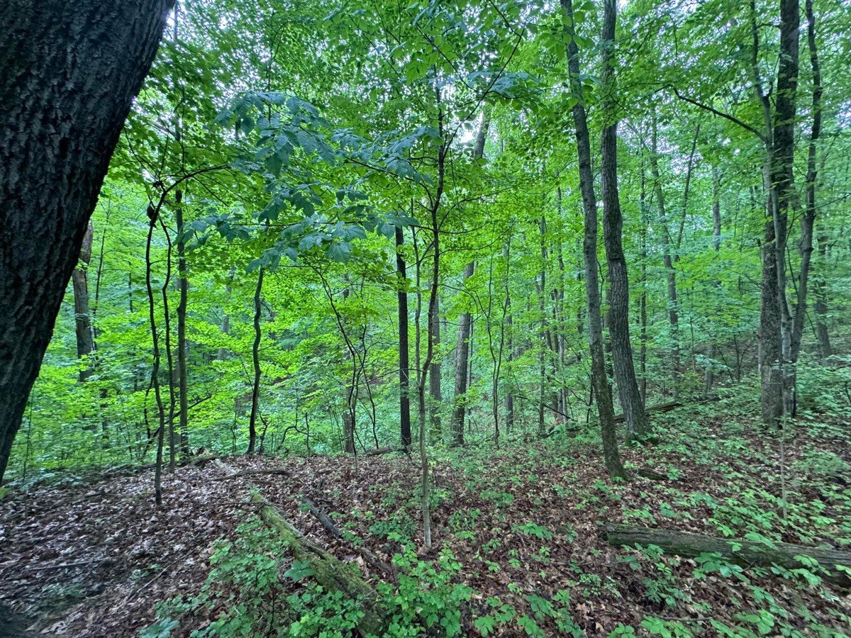
Small hills, grass, couple spots through the trees
1st spring trail ride
Put in behind Benbrook Stables
Wide enough for a car
Easy trail -well worn and marked.
Trail through somewhat neighborhood but super nice
A trail we got lost on

Great trail the pits are great water holes
Rolling trail along NM 4 on the Fence Canyon trail and down Potrillo Canyon a little bit, then back into Pajarito Acres.


Lehigh zoo border trail
Trails and dirt roads
Flat and easy. You ride through the cow pasture, so a cow savy horse is recommended

Orange to yellow by chimney down to dewys cabin to the black then camp. The orange is no joke be ready for hills abd creek crossing
Starting at Prison Camp, down to Molino Basin and back.
Mostly flat and fun

One giant hill but mostly flat.
Hunter pace fall 2024
T bar s second day trail
Apache wash left turns
Easy walk through Lomida. Hoppy’s first ride.
good parking, lots of gravel but mixed with softer ground, one road crossing

Up & down canyons with steep slope and great views
Path behind the ring, through xc, and passing the phillies.
From parking lot to cave b winery

Good training for uwharrie, gravel , dirt , snake thru brush trail.
11 mile technical hills
Lake loop through Chatfield going through small bits of water twice.
Easy peasy- no lake swimming
On top of bluffs, strap, narrow


Varied terrain with a few challenges. Incredible view at the lake. Part of the trail is shared with UTVs. Parking is scarce, turnaround is tight. Not recommended for giant rigs.
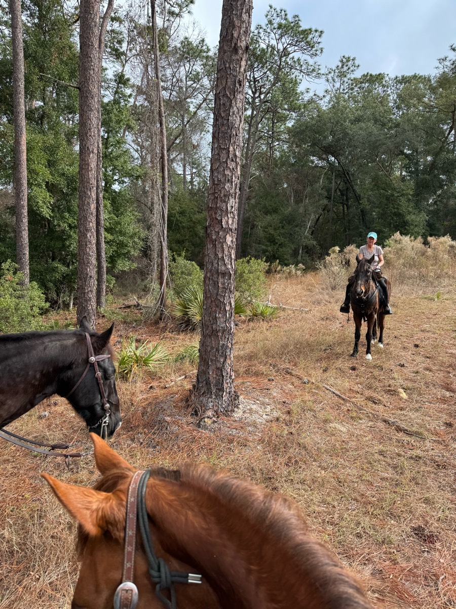
Long leaf pine to Fox squirrel to Longleaf pine to RWC and return via Longleaf Pine. Smooth, sandy trails most horses will be fine barefoot. Shared you, Trails you will probably encounter hikers and cyclist, but for the most part some of the most polite users are at this park
Nancy west along wash to service to Pemerton connection to 150 and back to trails along wash to Chrissy’s

East towards 4 peaks from 158 th, turn left down the wash from main trail toward water tank. Ends up on Service road big tree and back to 158 at water tank to Chrissy’s

Down Willow towards Morrison (left) thru Sandy trail and back up malito Ôøº
This ride is only available during Begin Again farms horse rescue fundraisers. 

Coon Bluff to Mud Cliffs
Good ride for trotting
Easy with minimal terrain, a section on the road, though.

Small hills solid ground 6.6 miles

Easy ride- great for speed.
Nice tree cover in areas. Some rock but not bad!

Nice terrain, half woods half open
Beautiful calm and relaxing
Wadsworth and Norton side. Improvements to some muddy areas have been made. Wadsworth side is drier. Flat with a few hills.
Huge outdoor public arena with track on the outside
Beautifully manicured trails.
Mix of wide and single tracks that get really mucky in winter, only recommend when it‚Äôs dried out. In spring it‚Äôs GORGEOUS with so many creek crossings! Buckeye Ravine is a single track on the edge of the ravine and half blocked by fallen trees, so bring your smallest horsesüòâ
Nice trail. A couple water crossings.

Wide shoulder on FM 672 starting at 7800 FM 672 headed towards Lockhart. Watch out for culverts. There is one bridge crossing where you must ride on the road.
Mostly rocky with softer areas here and there


Huckleberry to Loop to Huckleberry Huckleberry has blow downs at end of service road that are not passable. Loop 1 blow down but passable. Rest of trail clear.
Guided Equestrian Rides - Reservations Required

Take ditch far north - make a right- right on King street ride ditch home
Park off Spicewood springs road along upper bull creek
All trails in the United States
Ready to explore the best equestrian trails in the United States? Equilab offers thousands of riding routes for scenic strolls, endurance training, and more. Discover verified trail maps to find the perfect path for your next adventure, and then track your ride – all using the world's best horse riding app.
FAQ about Equilab trails
You can explore these trails and many more within the Equilab app! Simply download the app onto your mobile device, create an account, and then head to the “Track” tab. There you can view thousands of trails to discover and ride.
No, Equilab empowers equestrians everywhere to discover and ride trails for free! By creating an account within the app (no payment needed), you will be able to see and ride all public trails. Our Premium subscription offers great additional features, which you can learn more about here.
You can control the visibility of any trails you create using Equilab by selecting different privacy options when saving the trails. If you choose to make a trail "Public", it will be visible here on our website and to anyone using the app. Private trails, on the other hand, are only visible to you and (if you're a Premium user) anyone you share them with. Note: If you rode on private property, we strongly recommend saving your trail as "Private".
Equilab’s list of trails currently only includes those that have been tracked by riders using the Equilab app. As a result, there are still many trails not yet included in our platform. Anyone can track trails and add them for free, however — giving you the chance to help others discover new places to ride!
Yes! You can add a trail from any ride you track using the Equilab app. To so, simply download the app, create an account, then record your ride on the trial.
Note that to create a trail, the ride must be at least 0.6 miles long, have taken at least 5 minutes, and must not have been tracked within an arena.
Our community members have added more than 35,000 public trails, and new ones are added every day. We hope you enjoy exploring them!

Contact our team
Feedback & Help
support@equilabapp.com
Press and Partnerships
marketing@equilabapp.com
Business Inquiries
admin@equilabapp.com


