


All horse trails in the United States


Ready to explore the best equestrian trails near you? Equilab offers thousands of riding routes for scenic strolls, endurance training, and more. Discover verified trail maps to find the perfect path for your next adventure, and then track your ride – all using the world's best horse riding app.
Most popular trails


Easy - see old mill
Good trail some hills

Easy 30 minutes walking loop
Flat trail that spans ny
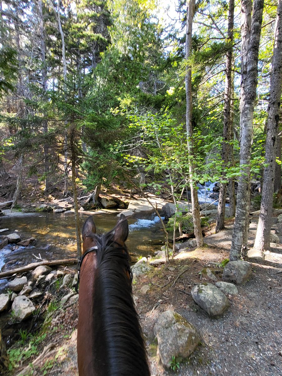
Most beautiful Loop ever. Day Mountain portion gets you the views of the sea. The ride then goes off park for a bit through magical pine and moss covered forests and then back into the park to ride along Jordan Spring. I highly recommend this loop!
Pine Hollow Trail to upper Meadow turn off down to Tibble Fork Trail before looping back up to the four-way stop. Connecting down to cascade Springs and up to Willow Hollow Trail. Fair amount of climbing. Avoid after a recent rain ÔøºÔøº
Medium hills, great for trotting and loping. Mixed ground. Intervals to walk necessary
A mix of flat and wide with rocky more technical areas in the woods, single file. Lots of rocks
Version of Rosaryville Perimeter trail with the fields at the end for canter and gallop work


Sandy, baby grave, picnic table

Fantastic combination of trails for horseback riding. A few bridges, but all were sturdy and dry with good approaches and not too scary. Wonderful conditioning opportunities around cornfield and on some trail straight aways. Will be back for conditioning work. Bring fly masks!

This takes you through the airline trail, some bike trails through the woods, and part of the We-Li-Kit ice cream ride. Much of the terrain is soft. There are areas of rocks that you may want boots or shoes on your horse. There are plenty of areas to trot and canter.
To include cutout to Blue Hole
Trees some rock some good footing

Nice wide trails, no water crossings
Easy beautiful trail
Couple of hills, rocky, few creeks
Start on teal making your way through red, red yellow. Well groomed by the Florida Horseman’s club.
Little loop with logs and some mud
North Loop New; sometimes hard to follow; trail marked with both tree markers and some areas only with pink/green/orange tape.

Ride from Salamonie lost bridge to Salamonie Forest. 8 miles one way on main trails. B there took A back.

Good hill. Somewhat technical up top.

Tar Bike path with grass path next to it
Long flats. Steep climbs. Narrow single track Steep downhills
Through big fields n woods

Easy trail, has lots of soft sand. A bit over grown with only one water crossing.

Long WTC trail, flatish
Thru cranberry lake
Down to Waterfall hi I
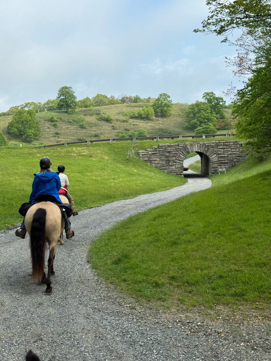
Light-moderate trail with plenty of hills, some easy open bridges and stream crosses. Field riding also available

About 4 gates to open and shut

Trails through the woods
Woods and dirt roads

its a rocky road and on the side is fields you can run in

Took the 50 Year Trail to the lot. Lot is about 1/2 mile from lot.

Over the dunes to along the Lake Michigan shore.

Flat, rocky in some places. Bikes are courteous. Get there early before the crowds on the weekends.

Fun, with hills, trees and views
Barn to the square
State park, wide paths, rocky

Beautiful wide sandstone trails. Clearly marked, beautiful views. One of my favorites!
Left at end of logging road
Hills and sand

Woods and fields and cows
Easy, flat through trees, couple big hills, couple water crossings
Nice easy trail for w/t/c
Only the Red trail, Wadsworth side.

Upper greenhorn trail to beckworth trail loop for intermediate and advanced rides

Fechtel Tract: North End & Northwest Loop from Day Parking Area
All trails in the United States
Ready to explore the best equestrian trails in the United States? Equilab offers thousands of riding routes for scenic strolls, endurance training, and more. Discover verified trail maps to find the perfect path for your next adventure, and then track your ride – all using the world's best horse riding app.
FAQ about Equilab trails
You can explore these trails and many more within the Equilab app! Simply download the app onto your mobile device, create an account, and then head to the “Track” tab. There you can view thousands of trails to discover and ride.
No, Equilab empowers equestrians everywhere to discover and ride trails for free! By creating an account within the app (no payment needed), you will be able to see and ride all public trails. Our Premium subscription offers great additional features, which you can learn more about here.
You can control the visibility of any trails you create using Equilab by selecting different privacy options when saving the trails. If you choose to make a trail "Public", it will be visible here on our website and to anyone using the app. Private trails, on the other hand, are only visible to you and (if you're a Premium user) anyone you share them with. Note: If you rode on private property, we strongly recommend saving your trail as "Private".
Equilab’s list of trails currently only includes those that have been tracked by riders using the Equilab app. As a result, there are still many trails not yet included in our platform. Anyone can track trails and add them for free, however — giving you the chance to help others discover new places to ride!
Yes! You can add a trail from any ride you track using the Equilab app. To so, simply download the app, create an account, then record your ride on the trial.
Note that to create a trail, the ride must be at least 0.6 miles long, have taken at least 5 minutes, and must not have been tracked within an arena.
Our community members have added more than 35,000 public trails, and new ones are added every day. We hope you enjoy exploring them!

Contact our team
Feedback & Help
support@equilabapp.com
Press and Partnerships
marketing@equilabapp.com
Business Inquiries
admin@equilabapp.com


