


All horse trails in the United States


Ready to explore the best equestrian trails near you? Equilab offers thousands of riding routes for scenic strolls, endurance training, and more. Discover verified trail maps to find the perfect path for your next adventure, and then track your ride – all using the world's best horse riding app.
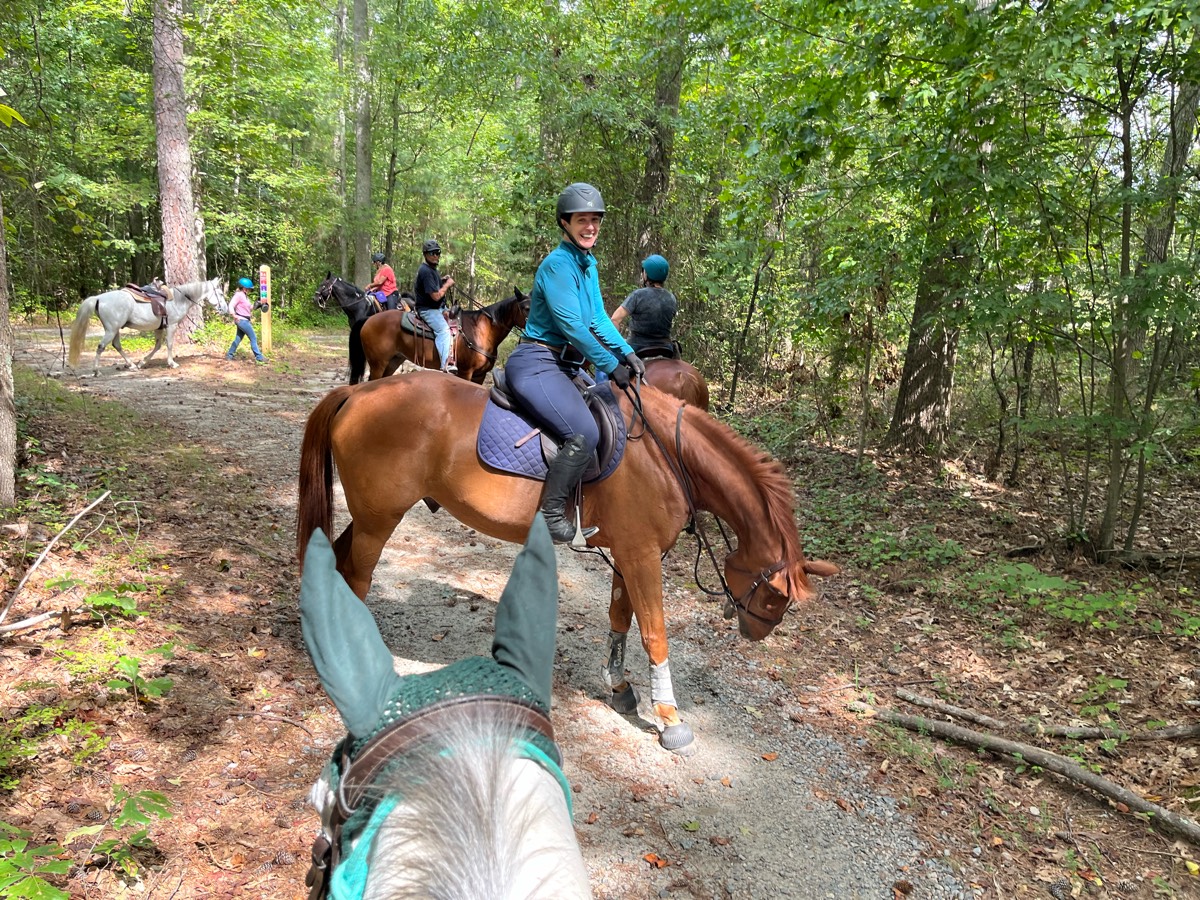
Most popular trails


Awesome. Loved it. Lots of different terrain up and down. Lots of water over a lot of downed trees over rocks and streams ,absolutely beautiful.


Well marked and relatively flat. Good cell service to check maps. Circle parking lot, easy to park trailer and pull out.

2 stream Crossings; Some logs very hilly.

spirit of the Suwannee

nice gaiting trails
Nice woods start and then 1 mile dirt road to entrance to trail. Nice somewhat technical woods trail curves and some ups and downs
Taking the roads to Kathy's pond
Sandy . Wooded cow path trails
challenging with climbs

So of it is paved but most of it isn't. It has a sand bar and there is a field that you can run them in.
Rocky/mountain bike trails
Short trail that goes past the swampy area, down a hill, then past where the dragon tree used to be. Some deep torn up footing
Moderate hilly.
Sandy, some uphills and down hills, 1 stream crossing
Local Lakebay Trails
To spruce creek Tepee trail

Mount Herman trail towards the aspen grove
Easy with mountain bikes possible
A little hilly, nice trail. Started at the equine campground.
Shaded trails around West Point Lake
Beautiful colors and trails
Off the beaten path
Iron Mountain Horse Camp, Virginia Highlands Horse Trail, Hugo’s Meadow, Mike’s Gap, Devil’s Den, Cooks Corner, Cripple Creek Rd, Iron Mountain Horse CampModerate trail for mountains.
Path around lake with some shoots across

Trail Head is at the end of E Campbell Ave. Wide trails with a lot of tree thinning and wash work since the last fires. Hikers and Walkers seem very polite about giving riders and horses plenty of space while sharing the trail.

Part of the Tevis trail. Mostly down hill, flat, and easy. Dusty
Quite muddy/challenging and rocky. Very pretty down in the creek bottom
Long ride for advanced only
Ranch to hot super
Located east of Las Cruces at the end of Soladad road wide gravel/rock trail.
Trails in woods not 2 tracks

I started the tracker on our way back. Double all information. Multiple river crossing, not too steep. Some very narrow trail parts
Horse only trails. Wide paths and safe area
Trail to Slag-a-melt lakes
Folsom Lake beach trail out of Sterling Point


Saddle and cart trails. Caution for bike crossings.
Nice and easy. Lots of places to gait.
Easy trail some times muddy
First ride for guests, loop around the ranch (minus arena)
Abandoned road plus roadside
Part sun part shade.


Beautiful rolling hills with Rhododendron and bridges.
My house to brown rd


Easy to traverse for beginners. Crosses asphalt road. Ends at the observation area and bridge.

Nice and scenic ride in stallion springs
Lots of hills - almost exclusively in the woods.

Rocky, narrow. Bees at bridge

Fun mostly barefoot friendly trail! Some great open areas to let the horses open up.
West loop plus east loop but having taken the east loop shortcut
Winding route with inclines and descents down and around the lake.

Overgrown at first but turns out to be a super nice trail. Rocks

Black trail from far side of camp

County Park. Native SWFL.
Flat to Butcher Hill

Big distance, little water except for livestock tanks, which may or may not be emptyÔøº; lots of slick rock, and lots of elevation. Very long dirt roads. Lots of cows. Some beautiful views in portions of the trailÔøº.
Easy park trail around lake Rita Blanca
Can be downfall. Hard to navigate up. Steep drop offs. Lots of hikers potentially. Big 800 ft climb at end

Sandy hill flat wooded nice
Great shaded trail
1 mile gravel Loop
All trails in the United States
Ready to explore the best equestrian trails in the United States? Equilab offers thousands of riding routes for scenic strolls, endurance training, and more. Discover verified trail maps to find the perfect path for your next adventure, and then track your ride – all using the world's best horse riding app.
FAQ about Equilab trails
You can explore these trails and many more within the Equilab app! Simply download the app onto your mobile device, create an account, and then head to the “Track” tab. There you can view thousands of trails to discover and ride.
No, Equilab empowers equestrians everywhere to discover and ride trails for free! By creating an account within the app (no payment needed), you will be able to see and ride all public trails. Our Premium subscription offers great additional features, which you can learn more about here.
You can control the visibility of any trails you create using Equilab by selecting different privacy options when saving the trails. If you choose to make a trail "Public", it will be visible here on our website and to anyone using the app. Private trails, on the other hand, are only visible to you and (if you're a Premium user) anyone you share them with. Note: If you rode on private property, we strongly recommend saving your trail as "Private".
Equilab’s list of trails currently only includes those that have been tracked by riders using the Equilab app. As a result, there are still many trails not yet included in our platform. Anyone can track trails and add them for free, however — giving you the chance to help others discover new places to ride!
Yes! You can add a trail from any ride you track using the Equilab app. To so, simply download the app, create an account, then record your ride on the trial.
Note that to create a trail, the ride must be at least 0.6 miles long, have taken at least 5 minutes, and must not have been tracked within an arena.
Our community members have added more than 35,000 public trails, and new ones are added every day. We hope you enjoy exploring them!

Contact our team
Feedback & Help
support@equilabapp.com
Press and Partnerships
marketing@equilabapp.com
Business Inquiries
admin@equilabapp.com


