


All horse trails in the United States


Ready to explore the best equestrian trails near you? Equilab offers thousands of riding routes for scenic strolls, endurance training, and more. Discover verified trail maps to find the perfect path for your next adventure, and then track your ride – all using the world's best horse riding app.
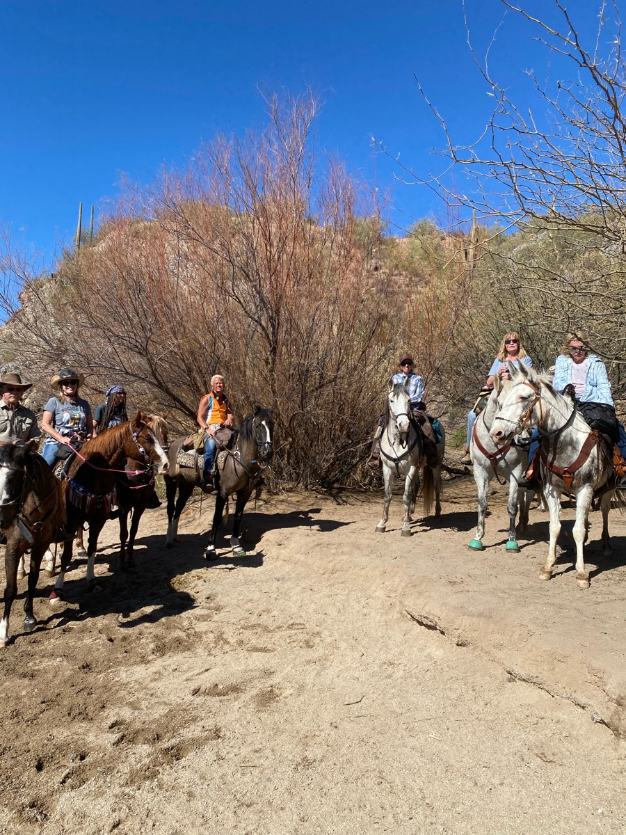
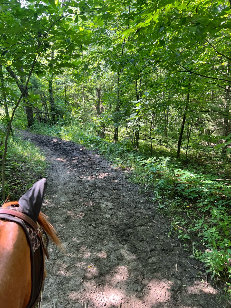
Most popular trails


Deb Alonso and Sue Vaisey

Cave, waterfall, shacks

Loose gravel, multi-use (bikes, hikers/runners, horses).

Around neighborhood to Dr Chris farm and Houston garms
7 miles from coon bluff across the river.
7 miles easy going
More of a route.
Very nice trail. Multi-use and at some point youll be riding next to the bike path. Have boots or shoes. Optional: go across the Hazel Ave. bridge, cross Gold County Blvd. and get lunch in the Tributary Point Dr. area
Rolling hills

Can get long but good signage

Easy trail. Mostly shaded.
Starting out down mud pond road to the rail trail to potato Rd then south rd
Fun trail that loops back and forth, meeting back up with logging roads.

Gets to the base of the waterfall and back to barn

Rolling wooded hills along the Groundhouse River
Heading NW From the barn

Nice Trail a bit of everything
Very easy trails. Beginner trail rider friendly. Not very hilly.

Thornton State Beach
Small loop, 3.2 miles on spider kingdom side

Wooded trail, wide enough in most parts to ride side by side. Some hills
The shortest loop from horse trailer parking, without retracing steps. There is one creek crossing with a fairly steep entry/exit and a couple of bridges.
Big loop front end to dead deer to fern valley to back of big loop
Start and end at Elkins creek-Kimble loop
Some rocks, some hills, short stretch of asphalt from the end of 4B property until you get to the overflow
Wide loop trail with some hills & a couple of easy water crossings. Large parking area. Restrooms have been locked recently. Ride after 10a, check for hunting/events. Usually only horses are on the trails but there are some nearby hiking trails.

Allen County Equestrian Course

Floyd Lamb/ Tule Springs equestrian area

easy and big lake to get in
11.3 miles, mostly walking. A lot of hills, great workout!
Wide trail past bogs and rims
Colt creek state park multi use trail


A bit of everything hills, flat, rocks, water

There is some big hills and lots of rocks
Nice ride with hills

Nice, wide snowmobile trails. Some steep hills. Great footing and some beautiful views!
Riding the trails any the Allen County Equestrian Course
Bridge crossing, water crossing, fields and woods
Rocky/sandy lake side ri
Beautiful Arena with great footing, barrels, and Cavaletti’s present if you’d like to use them, covered bleachers, restrooms, and plenty of trailer parking along with a few acres of footed trails and around pen.
WTK to River Trail
Easy clear and wide
Roads and tracks, creek Crossing, big traffic, vehicle vehicles
Driveway thru woods thru blue stem in
It is a fun pretty flat trail. That is great for horses though

Combination of hills and flats, wide and narrow, forest and dirt roads
Day use to Joanna prairie loop to log cabin loop
Using the Palouse to cascade Trail
Limited trailer parking off of Clayton Ave
Goes around Boot Pond and an abandoned cranberry bog


Nice, slightly ro KY and narrow in places

Along the rider

All trails in the United States
Ready to explore the best equestrian trails in the United States? Equilab offers thousands of riding routes for scenic strolls, endurance training, and more. Discover verified trail maps to find the perfect path for your next adventure, and then track your ride – all using the world's best horse riding app.
FAQ about Equilab trails
You can explore these trails and many more within the Equilab app! Simply download the app onto your mobile device, create an account, and then head to the “Track” tab. There you can view thousands of trails to discover and ride.
No, Equilab empowers equestrians everywhere to discover and ride trails for free! By creating an account within the app (no payment needed), you will be able to see and ride all public trails. Our Premium subscription offers great additional features, which you can learn more about here.
You can control the visibility of any trails you create using Equilab by selecting different privacy options when saving the trails. If you choose to make a trail "Public", it will be visible here on our website and to anyone using the app. Private trails, on the other hand, are only visible to you and (if you're a Premium user) anyone you share them with. Note: If you rode on private property, we strongly recommend saving your trail as "Private".
Equilab’s list of trails currently only includes those that have been tracked by riders using the Equilab app. As a result, there are still many trails not yet included in our platform. Anyone can track trails and add them for free, however — giving you the chance to help others discover new places to ride!
Yes! You can add a trail from any ride you track using the Equilab app. To so, simply download the app, create an account, then record your ride on the trial.
Note that to create a trail, the ride must be at least 0.6 miles long, have taken at least 5 minutes, and must not have been tracked within an arena.
Our community members have added more than 35,000 public trails, and new ones are added every day. We hope you enjoy exploring them!

Contact our team
Feedback & Help
support@equilabapp.com
Press and Partnerships
marketing@equilabapp.com
Business Inquiries
admin@equilabapp.com


