


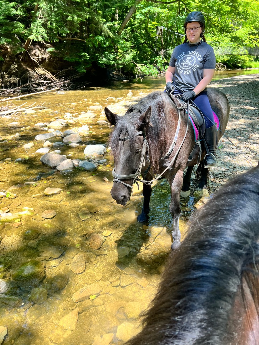
All horse trails in the United States


Ready to explore the best equestrian trails near you? Equilab offers thousands of riding routes for scenic strolls, endurance training, and more. Discover verified trail maps to find the perfect path for your next adventure, and then track your ride – all using the world's best horse riding app.
Most popular trails


Rocky but decent out and back, pretty views


Hilly, picturesque
Rolling wooded trails

Mostly sand and dirt, but sections of it are a bit rockey.hockey. Obviously the app quit working so it didn't look like I have finished where I started.

Roller Coaster and bridges
Girdled rd reservation. At the second man bridge cross the creek and head up the hill for a good out and back work out.
Rise and fall elevation. Wooded.


Very very rocky , lots of down hills. Only hard cause of lots of rocks
Racing stripes
Leaving Douthat State Park from Beaver Dam camp and entering the GWNF - we just did a 10 mile out and back but the full trail loop is 21 miles.
Ventura River Preserve.
Pee wee cut off to park office
West loop at sleepy hollow state park. It does cross bike trails and walks next to the road briefly. You occasionally see people walking
Easy all gaits plus pull offs for picnics

Hilly, Rocky, Several creek crossings, views of the lake, single track thru dense woods

Minimal rock and very flat. Water access in multiple places. Lots of twists and turns for shoulder work and long flat areas with good footing for trotting.
Partial perimeter trail at Rosaryville Park

Swan Lake site 3 to West trailhead, part of Rumble Lake, part of Ironjaw loop back to Swan lake

My house to 127, then to asphalt rd with church to horses in field, back to Mike's pasture then up dirt road to home for some mounting training at trailer great solo ridr

Easy to moderate trail. Mostly flat with a few hills. Some rocky areas but mostly barefoot friendly.

Sandy with some rocks. Not bad

Hilly, minor water crossings

Just down Clark road and back to the barn

Nice trail - close to home


A lot of flat but some nice elevation

From Lower Pine TH to Coyote Canyon

Starting at the Horse transfer, go down dragon spine and threw the meadow back up the road and over bs Trail . Side loop optional for a little extra distance, and some sharp inclines and declines. Ôøº
5.4 miles on yellow trail loop

Gravel road at the start with a good elevation gain. Rest of the trail is very nice single track with some great boardwalk bridges and spectacular views.
Lots of downed trees in areas but trail is rideable
Goes to gravel pit and back


Around the lake from 726 Furr
From Craig’s house to five forks
Sandy, narrow and open spaces
10 miles for endurance training
Flat shady trail, goes for a long ways. Some concrete to start, then switches to sand
Residential paths

North Country
Well marked a little wet

Areas to see the bay and walk to the water and get pictures

Forest riding up and down hills and rocky trails.
Flat, small creek crossing
Mingo Creek partial blue loop trail
Easy sandy . Woods

Some inclines, rocky in spots, places to water horses. Long trail.
IMHC to CC camp road to range lands (aka cow pasture) to blue trail past trail end grill to CC camp road
All trails in the United States
Ready to explore the best equestrian trails in the United States? Equilab offers thousands of riding routes for scenic strolls, endurance training, and more. Discover verified trail maps to find the perfect path for your next adventure, and then track your ride – all using the world's best horse riding app.
FAQ about Equilab trails
You can explore these trails and many more within the Equilab app! Simply download the app onto your mobile device, create an account, and then head to the “Track” tab. There you can view thousands of trails to discover and ride.
No, Equilab empowers equestrians everywhere to discover and ride trails for free! By creating an account within the app (no payment needed), you will be able to see and ride all public trails. Our Premium subscription offers great additional features, which you can learn more about here.
You can control the visibility of any trails you create using Equilab by selecting different privacy options when saving the trails. If you choose to make a trail "Public", it will be visible here on our website and to anyone using the app. Private trails, on the other hand, are only visible to you and (if you're a Premium user) anyone you share them with. Note: If you rode on private property, we strongly recommend saving your trail as "Private".
Equilab’s list of trails currently only includes those that have been tracked by riders using the Equilab app. As a result, there are still many trails not yet included in our platform. Anyone can track trails and add them for free, however — giving you the chance to help others discover new places to ride!
Yes! You can add a trail from any ride you track using the Equilab app. To so, simply download the app, create an account, then record your ride on the trial.
Note that to create a trail, the ride must be at least 0.6 miles long, have taken at least 5 minutes, and must not have been tracked within an arena.
Our community members have added more than 35,000 public trails, and new ones are added every day. We hope you enjoy exploring them!

Contact our team
Feedback & Help
support@equilabapp.com
Press and Partnerships
marketing@equilabapp.com
Business Inquiries
admin@equilabapp.com


