


All horse trails in the United States


Ready to explore the best equestrian trails near you? Equilab offers thousands of riding routes for scenic strolls, endurance training, and more. Discover verified trail maps to find the perfect path for your next adventure, and then track your ride – all using the world's best horse riding app.
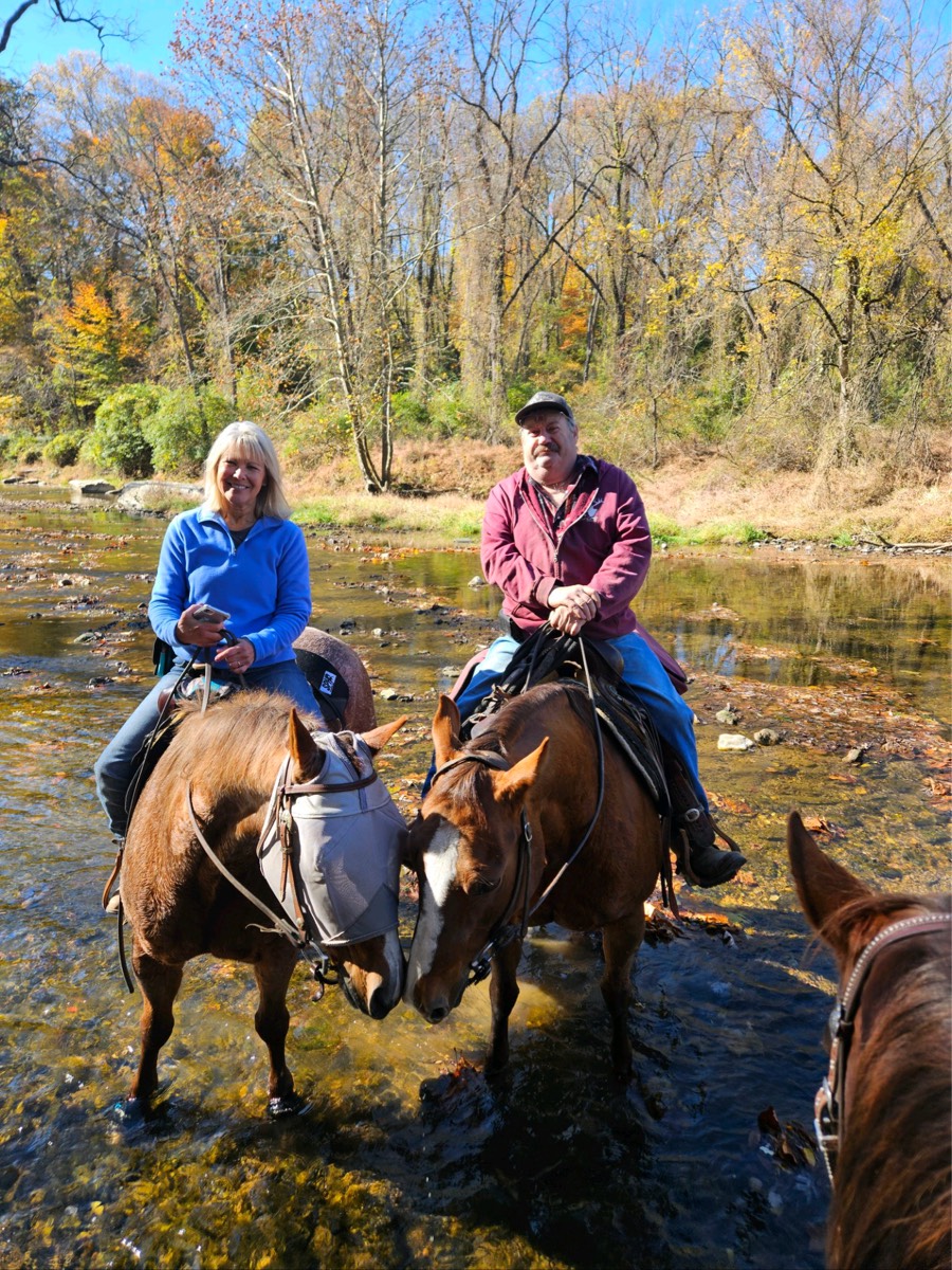
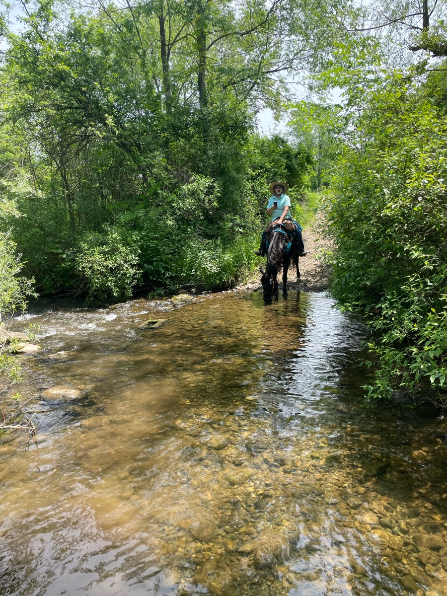
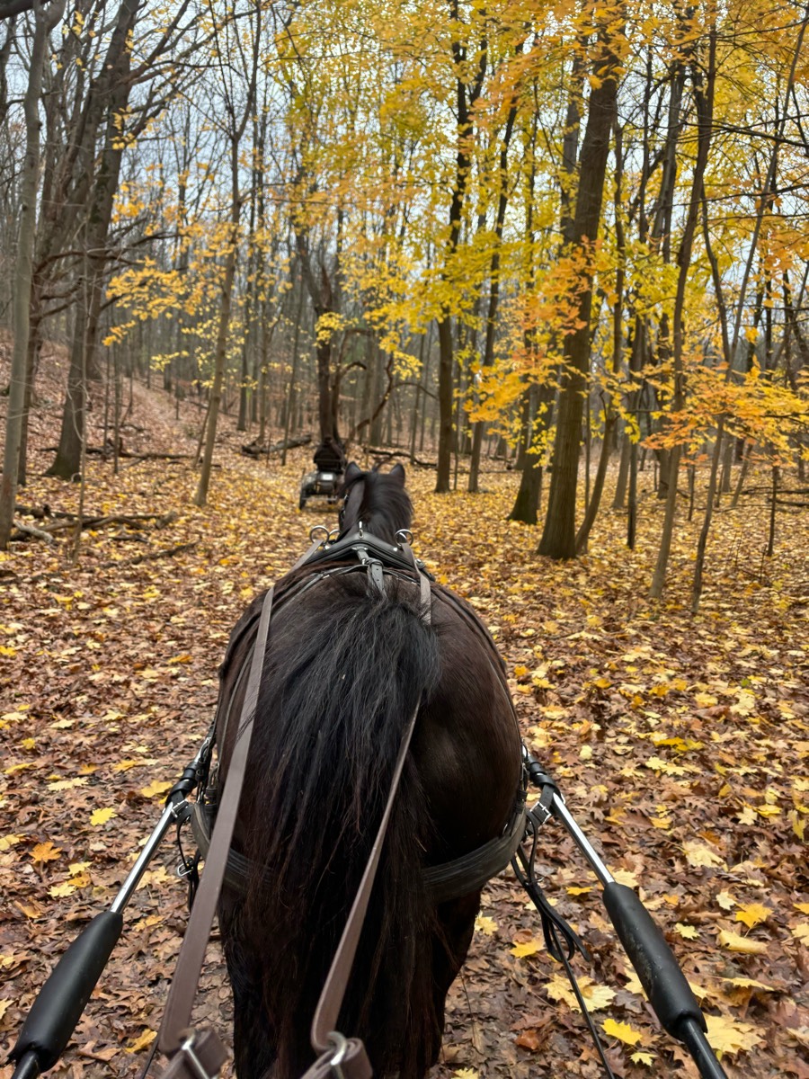
Most popular trails


Ones at the end of the road on Eden ave Hudson Fl
From hound Hollow

Small gravel, some shade, some sun, several bridges, one optional water crossing, small hills, a few pretty overlooks and nice picnic spots.

Grass and gravel trail through forest and grassy areas. Some minor hills. 3 trail loops for horses. Blue green and red.
A few single track and two track trail.

Many water crossings and rocky footing

Trail along river Dr- fire road.

Rocky, narrow, technical. Beautiful views

All different kinds of terrain and miles of trails. Disc golf, snowshoe, hiking also here.
Approx 5 1/2 mile loop trail, crosses access roads for easy travel back to trailhead. Large easy-access parking lot, porta-potty. No water. Well-marked trails, mounting block, some hills. Only horses on trails typically. No camping. No fee; donation box.
Mostly trees and meadow interspersed with logging roads. Map necessary to stick to route. Lots of opportunities to trot & canter.
Extremely rocky for 90% off the gradual incline to the top of the crest. Take the road down. Great views at the top but not worth taking the rocky trail up. The ride is 7.1 miles, I just didn’t turn the app on until a mile into the ride.

Loop around the lake. Nice 3.5 mile ride. Some shade in the summer, some wildlife sightings, water crossing, bridge, ditch, spots to trot and canter.
Sugar hill very hilly
Wire grass to longleaf pine to fix squirrel to Longleaf
Beautiful forested trail. A few bridges and some down trees. We did see mama bear and 2 cubs so turned around. Downhill climb to the river with spectacular views. Good climb back out to the trailhead.
Lake loop and flower gap with cut off on green trail
South/west/east/south/ north to home

Fl. Horse Park, under 475, then trail to right. A bit up-and-down at the beginning, but then levels off, and has areas that are nice for trotting in cantering.
Yellow loop from fields then along Stones river
Open space. Vistas. Cacti
Trail goes to visitor center and then lake (trail that checkers spooked on before road crossing)
Multiple water crossing, bridge crossing and a few steep hills Foxboro requires a membership or daily passhttps://foxborohorsefarm.com/foxboro-riding-club/
Down to River
Some Rocky on the way to bar Ôøº

Mixed trail, steep incline out to an open golf course big canter lines

Very nice trail for riding. 2 bridges on this trail so good exposure to bridges.
Parking at weight scales, trail is across the highway, can go left or right

Beautiful, full foliage ride
Not too many bugs
Rocky with nice side trails

Horse should be fit, sure footed, and good with motorcycles. Hoof protection highly recommended. It's steep down and back up, but "The Blue Hole" is beautiful and is a great place to sit and have lunch before trekking back out. Gets hot in the summer so ride it in spring or fall
Absolutely spectacular trail. Massive drop offs, loose shell and no water though.


Easy, wide very few steep climbs with a couple water crossings . Went to lake
Lake Lowndes horse trails
Easy sandy trail. Along rge Suwannee.

Not sure if we’re supposed to be riding on one piece of the road, signage is not clear 

Beautiful trail, lots of gravel road riding, multiple stream crossings, one very steep and rocky decline - not beginner friendly.

Barefoot friendly except for a few gravel crossings

Trail was narrow but good footing. Some rocks in spots but mostly compact dirt. It is a mountain bike and hiking trail also. We parked our trailer in the gravel by the church and rode up to the trail head.
Park of Mark Twain
Part running trail
Amanada/christmas day


Lots of parking opportunities along the Forest Service road. Terrain mixed of dirt and rocks. Need to go through cow gates, cows present, two cow tanks.

Fairly easy trail with some good views. Has a few stretches with some slightly technical rocks but nothing major.
Ride river trail behind watson house
Mixed - hard - lots of water crossing - lots of mud on trails

Wiregrass Loop, Long Leaf Pine, Fox Squirrel Loop

Very rocky and hilly
Stunning canyon, hills, water crossings

Onto blm back to tab road cut across north before parking lot and back to road that leads to Coal Creek
Several trails. Some wet
Big loop to dead deer left on 16 right at the end the right

Lots of shade water crossing hilly
Sandy, some gravel/rocks.
Limerick roads, wet trails

Cross major road. Paved and dirt roads

Easy, good for young horse.
Quarter mile to lake point
Hills, sand areas, hills. Beautiful
All trails in the United States
Ready to explore the best equestrian trails in the United States? Equilab offers thousands of riding routes for scenic strolls, endurance training, and more. Discover verified trail maps to find the perfect path for your next adventure, and then track your ride – all using the world's best horse riding app.
FAQ about Equilab trails
You can explore these trails and many more within the Equilab app! Simply download the app onto your mobile device, create an account, and then head to the “Track” tab. There you can view thousands of trails to discover and ride.
No, Equilab empowers equestrians everywhere to discover and ride trails for free! By creating an account within the app (no payment needed), you will be able to see and ride all public trails. Our Premium subscription offers great additional features, which you can learn more about here.
You can control the visibility of any trails you create using Equilab by selecting different privacy options when saving the trails. If you choose to make a trail "Public", it will be visible here on our website and to anyone using the app. Private trails, on the other hand, are only visible to you and (if you're a Premium user) anyone you share them with. Note: If you rode on private property, we strongly recommend saving your trail as "Private".
Equilab’s list of trails currently only includes those that have been tracked by riders using the Equilab app. As a result, there are still many trails not yet included in our platform. Anyone can track trails and add them for free, however — giving you the chance to help others discover new places to ride!
Yes! You can add a trail from any ride you track using the Equilab app. To so, simply download the app, create an account, then record your ride on the trial.
Note that to create a trail, the ride must be at least 0.6 miles long, have taken at least 5 minutes, and must not have been tracked within an arena.
Our community members have added more than 35,000 public trails, and new ones are added every day. We hope you enjoy exploring them!

Contact our team
Feedback & Help
support@equilabapp.com
Press and Partnerships
marketing@equilabapp.com
Business Inquiries
admin@equilabapp.com


