


All horse trails in the United States


Ready to explore the best equestrian trails near you? Equilab offers thousands of riding routes for scenic strolls, endurance training, and more. Discover verified trail maps to find the perfect path for your next adventure, and then track your ride – all using the world's best horse riding app.
Most popular trails


6 mile loop, pretty easy/basic long trail


Trails at Wildwood Stables.
Private Oasis - contact for permission to ride

Flat 7 mile loop along bike path
Green and orange trails.

About 1 hr 30 min (if mostly walk)
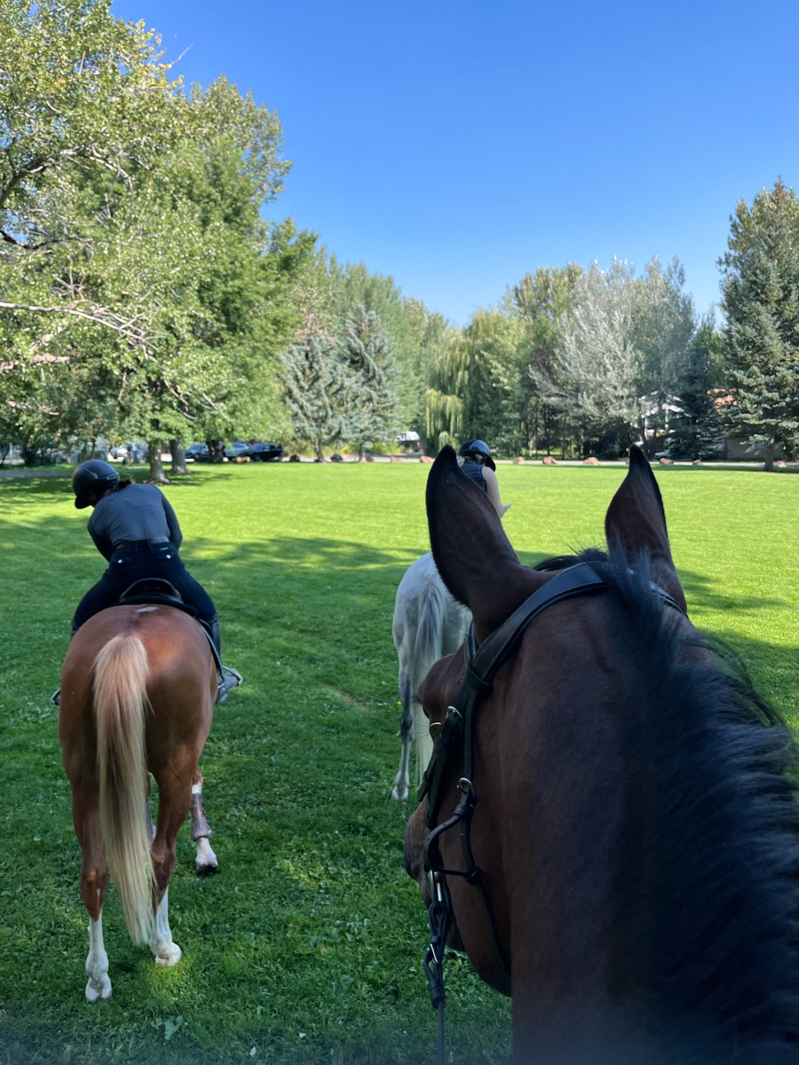
Monika and Anne with me on Derby

The beginning of the creeper trail in Abingdon VA. Shared trail with runners walkers and bikes

Red to green to blue to parking

A short loop that gives him good exercise
Moderate elevation, many opportunities for water from creek

Good footing, some woods will wide open grass areas.

Lovely day amazing trail

Avoiding creepy guy
Long Laney Trail along the river, some hard rocky spots, but everything is super easy. Goes trough a neighborhood and a park.
Side of road and through long key trails
Via Last Chance Road and Fertile Valley Road
Lots of up and down rock climbing.
One of the many possible loops out of the Olmstead Trailhead
Easy moderate and difficult in sections.
Road woods hills rocks water

Nice Trail especially when it hasn't been raining Decently wide several bridges one is Quite long And can be Rocky in areas Easily marked Hard to get lost Exceptionally nice parking lot
Part busy highway, part smooth gravel lane with a very few trottable margins.
Beautiful trail, lots of shore access

5.7 mile paved and gravel roads only

Great option from grassy trails min
Somewhat rocky with a few steep hills.
Forestview Boarding stable to Evergreen Lake

1-3-17-18-23 (for awhile) -22 to pipeline L to storeSpur=19
Roadwork there, two-track back
lots of water crossing
Rocky trails with extreme altitude


A lot of up and down. Roughed
Wash riding and mountain if desired

Take Belvins trail to Amigos wash (great for loping) & back to Belvins to finish the loop.

Yellow Green. Blue and Brown trail
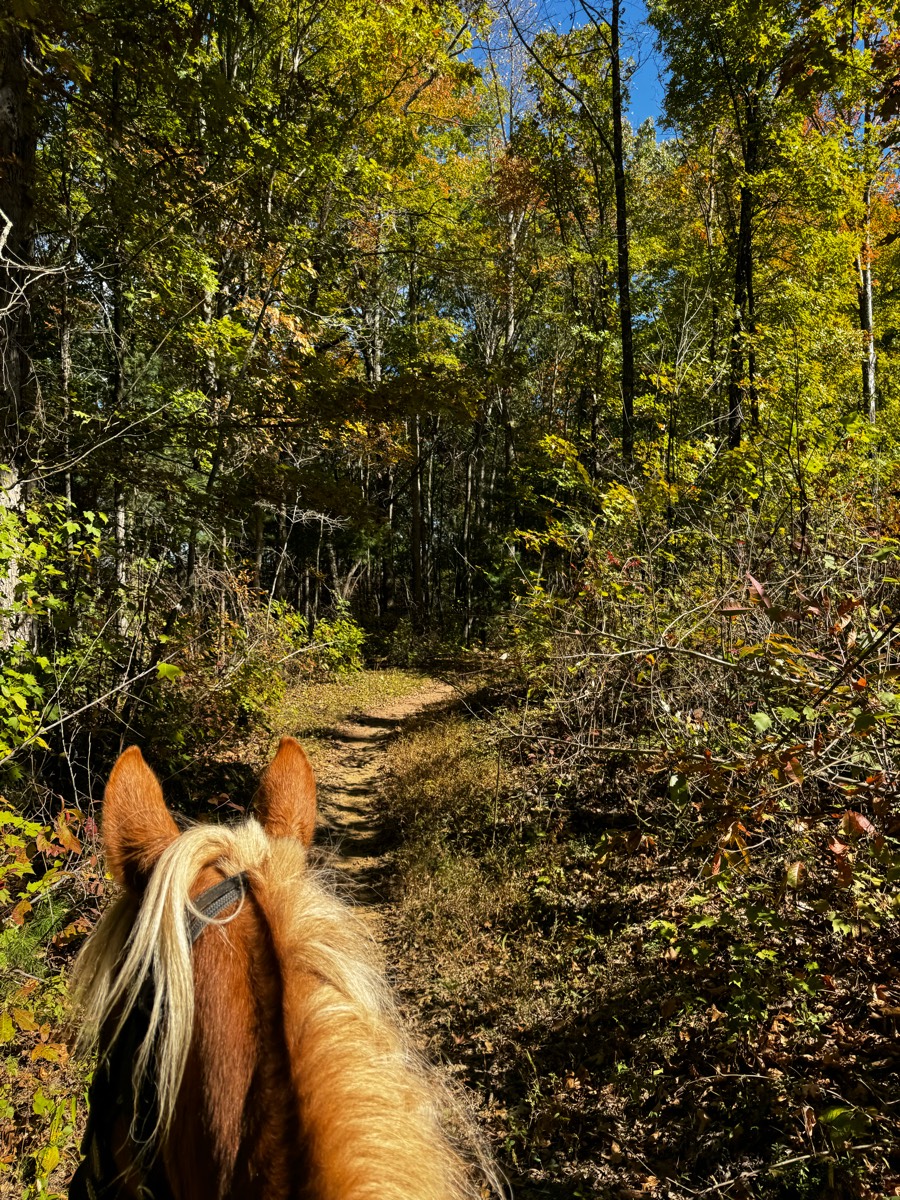
Tight trail in places, minimal contact with people and dogs, rocky and roots, low branches in places, no bridges, one small creek in spring
618 acre park of reforested farmland with a wide variety of terrains for riding. Several loop trails. Trails are wide, natural surface with moderate hills and creek crossings. The horse trailer parking area is a circular gravel drive with grass parking
Volkswagen plant nature park trail gate 6C


Multiple water crossings, bridge crossings, and mountain trails. Trail overlooks all of Layton and is a real hidden gem
Easy with some hills and 1 creek

One of many trails on this land. Super fun. Take plenty of water to drink. Requires a day/weekend pass. (free) online. Camping tent only.
Hills flat school house
Three mile track also good for xc workouts
lots of different terrain
Hard surface Marked trails

4B to river and back around to 4B
Trail near grapevine lake. Private trail ride
All trails in the United States
Ready to explore the best equestrian trails in the United States? Equilab offers thousands of riding routes for scenic strolls, endurance training, and more. Discover verified trail maps to find the perfect path for your next adventure, and then track your ride – all using the world's best horse riding app.
FAQ about Equilab trails
You can explore these trails and many more within the Equilab app! Simply download the app onto your mobile device, create an account, and then head to the “Track” tab. There you can view thousands of trails to discover and ride.
No, Equilab empowers equestrians everywhere to discover and ride trails for free! By creating an account within the app (no payment needed), you will be able to see and ride all public trails. Our Premium subscription offers great additional features, which you can learn more about here.
You can control the visibility of any trails you create using Equilab by selecting different privacy options when saving the trails. If you choose to make a trail "Public", it will be visible here on our website and to anyone using the app. Private trails, on the other hand, are only visible to you and (if you're a Premium user) anyone you share them with. Note: If you rode on private property, we strongly recommend saving your trail as "Private".
Equilab’s list of trails currently only includes those that have been tracked by riders using the Equilab app. As a result, there are still many trails not yet included in our platform. Anyone can track trails and add them for free, however — giving you the chance to help others discover new places to ride!
Yes! You can add a trail from any ride you track using the Equilab app. To so, simply download the app, create an account, then record your ride on the trial.
Note that to create a trail, the ride must be at least 0.6 miles long, have taken at least 5 minutes, and must not have been tracked within an arena.
Our community members have added more than 35,000 public trails, and new ones are added every day. We hope you enjoy exploring them!

Contact our team
Feedback & Help
support@equilabapp.com
Press and Partnerships
marketing@equilabapp.com
Business Inquiries
admin@equilabapp.com


