


All horse trails in the United States


Ready to explore the best equestrian trails near you? Equilab offers thousands of riding routes for scenic strolls, endurance training, and more. Discover verified trail maps to find the perfect path for your next adventure, and then track your ride – all using the world's best horse riding app.
Most popular trails


Mix of hills and flat, wide trails through the treese
Nice trail through the woods along the Bartholomew Lake next to the houses on steel and then back to the horse area.
Woods. By road ki
Water crossings steep hills and single track

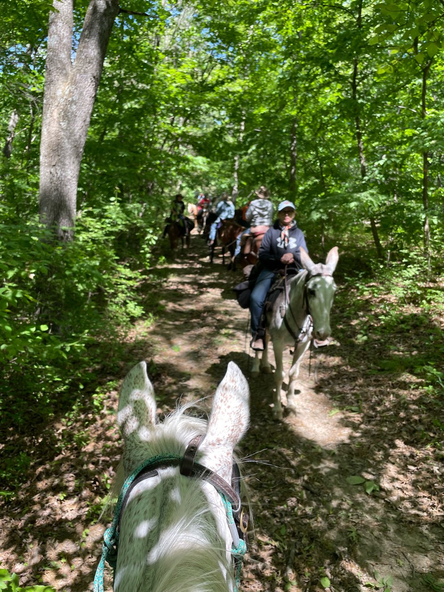
Easier Multi Use Trail
Titus up hill town hall back around

Water crossings, log crossings, hills
Nice wide trails with easy footing

ASSUNPINK UPPER FREEHOLD NJ

Single track to lake
Just an old dirt road
Easy, roots on trail, gravel parking lot
Starting and ending at equestrian parking.

Make it as short or as long as you want it. Well marked.

Beautiful wooded trails.

soft, fluffy ground with a mix of sandgood bit of water, especially after rain

Beautiful wooded forest
Chuch entrance to bridge & back
20 mile ride. No shoes needed on the horses.
Up the hill from the barn to where the clear cut starts

Trailhead starts in Heatherwood sub division

Great route to the top. But long climb to the back


Fair Hill - this ride took us 3 hours

Single track along high ridge and then field perimeter
Ditch far north to make a right and circle around
From Tyler's to the lake and back.
Up and down hill. Great ride
Moderate trails


Top of BLM ridge, descend between hills, along fence to north.
Genito to Balmoral Woods
Road riding then gravel
Right of way- Fox run-to Libby's
Mostly open roads
Mostly level, some rocky areas.
Dirt & paved road. Not too many cars,

Easy trail, barefoot friendly (just a few rocky areas), a couple of easy small hills and one deep dip maybe 4 foot drop into dry creek and right back up. Otherwise, super easy ride. Half in the woods and half in the sun open fields.
Big loop clockwise to 2/3 right to dd run
An easy loop with nice scenery

Nice wide trails and marked areas through the Park
https://www.landheritageinstitute.comOnly open on some Saturday’s. Check website for open days

Mixed surface- took Orange Trail to Green Trail to see the waterfall and campground. Connected over to Blue Trail to the Etowah River which was even higher then last week. Connected to the Pink shortcut Trail back to Blue- tails were drier and we were able to pick up the pace.❤️

Down willow straight to main stage and back up malito


Hot...very little shade

Twisty ups and downs that meander through boulders and 🌵
Lots of climbing and rocks
Trail has alot of shade

Take road go down the switchbacks alongside the river and then come back up
Part of Mark Twain
Public park with no pass required

Horse trail, nice loop with mild hills


Up and down hill, some mud, lots of trees to step over
Dirt path through the woods, logging road through BLM clear cut, gravel road from gate to Hahn Road

Beautiful wide trails with mostly sandy footing along the Cordell Hull Lake with some hills. A couple of nice creeks to cross and water horses. Camping is primitive, but they do have tie lines, picnic tables, fire rings, and grills.
From Dry creek to 28th St

Abbey Lane CabinProceeding TrailBailey RoadDragline TrailHigh Banks TrailChase Creek TrailElbow TrailOld Number 4
Ride out from Day Park
Mowed trail some bottom land
All trails in the United States
Ready to explore the best equestrian trails in the United States? Equilab offers thousands of riding routes for scenic strolls, endurance training, and more. Discover verified trail maps to find the perfect path for your next adventure, and then track your ride – all using the world's best horse riding app.
FAQ about Equilab trails
You can explore these trails and many more within the Equilab app! Simply download the app onto your mobile device, create an account, and then head to the “Track” tab. There you can view thousands of trails to discover and ride.
No, Equilab empowers equestrians everywhere to discover and ride trails for free! By creating an account within the app (no payment needed), you will be able to see and ride all public trails. Our Premium subscription offers great additional features, which you can learn more about here.
You can control the visibility of any trails you create using Equilab by selecting different privacy options when saving the trails. If you choose to make a trail "Public", it will be visible here on our website and to anyone using the app. Private trails, on the other hand, are only visible to you and (if you're a Premium user) anyone you share them with. Note: If you rode on private property, we strongly recommend saving your trail as "Private".
Equilab’s list of trails currently only includes those that have been tracked by riders using the Equilab app. As a result, there are still many trails not yet included in our platform. Anyone can track trails and add them for free, however — giving you the chance to help others discover new places to ride!
Yes! You can add a trail from any ride you track using the Equilab app. To so, simply download the app, create an account, then record your ride on the trial.
Note that to create a trail, the ride must be at least 0.6 miles long, have taken at least 5 minutes, and must not have been tracked within an arena.
Our community members have added more than 35,000 public trails, and new ones are added every day. We hope you enjoy exploring them!

Contact our team
Feedback & Help
support@equilabapp.com
Press and Partnerships
marketing@equilabapp.com
Business Inquiries
admin@equilabapp.com


