


All horse trails in the United States


Ready to explore the best equestrian trails near you? Equilab offers thousands of riding routes for scenic strolls, endurance training, and more. Discover verified trail maps to find the perfect path for your next adventure, and then track your ride – all using the world's best horse riding app.
Most popular trails


Part of blue trail

Nice trail, super close to the barn.

Rocky 6.8 miles , 2hrs 20mins
Hills flat school house

Sunrise road to the speedway
Sand and rock. No water

Beautiful easy good footing. I forgot to turn on the tracker so I missed about 2 miles from the parking lot

Beautiful, rocky and challenging in areas. This is not a beginner horse/ rider trail. The scenery is breathtaking. A good trail to bring a lunch, snacks and plenty of water for yourself if the weather is hot. There are some shallow stream crossings for horses to drink.

Blue trail to blue/white. Easy ride
Trail to a field that chocolate needs to gallop in or he will lose his mind
Lebanon Hills Regional Trail
Couple of hills, rocky, few creeks
2 hour ride on first day

Percy Warner Park Equestrian Trail
Flat, sandy, some wet spots. Overall great ride
Perfect fast loop for conditioning
North on Rambla. West along power poles to 2nd star the cross country SE to south of Tem.
Woods, soft clay soil, some rocky areas, lots of overgrowth but easy to move through.
Mostly flat trails
Mixed. Worked with Holly at the trot.
Rocky terrain, shaded
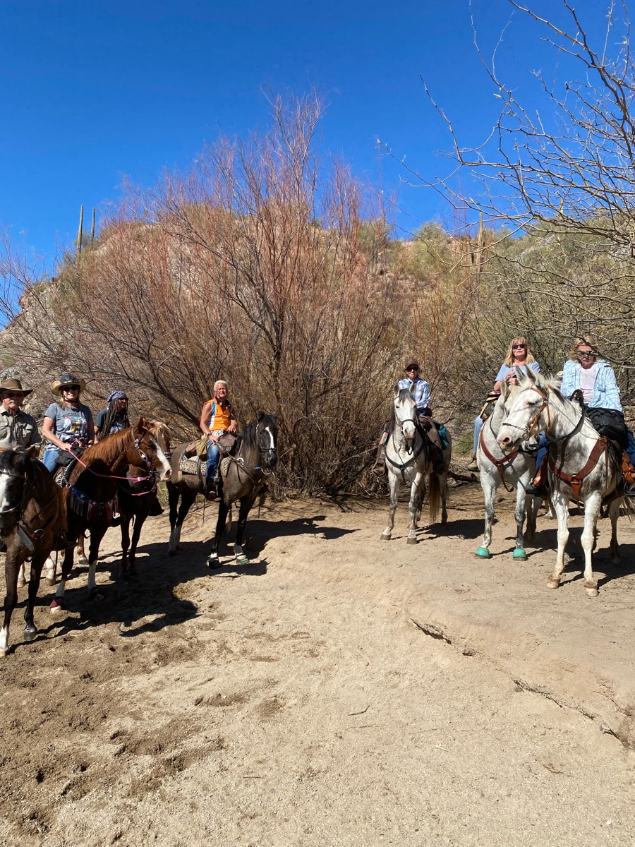
Sandy washes, hills, canyons

Fun by the river
Gentle through trees
Roads, single track woods, rail trails
Lots of hills and gravel on the roads that you have to ride on in certain sections.
Mostly wooded, you have to cross one hard surface two mo lane Road

Rocky with some smooth areas
Withlacoochi state forest standards

Switchback to Park then 125 Bridge and Conduit

Loop around the outside of the park
Public park with no pass required
To the water trough from j6 ranch eq center
Abandoned road plus roadside

Mr T and Kate/Bella

Uphill, narrow, and a couple crazy spots
5.5 mile big loop and short small loop
Old rail tracks- level


Short loop on ledge from camp

Nice wide trails, no water crossings
Sandy with elevation. Leads to swamp
Turn around trail
Wide grassy paths, some open fields, a handful of little hills, two tiny creek crossings, two road crossings
Part of Oak creek trail.
Mt Pisgah trail ride around the lower half of the summit
Cinder road to green loop
State park, wide paths, rocky
Extended trail at Sandy Pines Preserve

Wooded hills, truck trails

Beautiful trail 4.7 miles
To the lookout above the cemetery. Down to Impava and back up the trail.

Lots of room for training

Steep climb at the beginning then a beautiful ride along the marsh.

First river crossing inside Morrison
Easy wide trails.


All trails in the United States
Ready to explore the best equestrian trails in the United States? Equilab offers thousands of riding routes for scenic strolls, endurance training, and more. Discover verified trail maps to find the perfect path for your next adventure, and then track your ride – all using the world's best horse riding app.
FAQ about Equilab trails
You can explore these trails and many more within the Equilab app! Simply download the app onto your mobile device, create an account, and then head to the “Track” tab. There you can view thousands of trails to discover and ride.
No, Equilab empowers equestrians everywhere to discover and ride trails for free! By creating an account within the app (no payment needed), you will be able to see and ride all public trails. Our Premium subscription offers great additional features, which you can learn more about here.
You can control the visibility of any trails you create using Equilab by selecting different privacy options when saving the trails. If you choose to make a trail "Public", it will be visible here on our website and to anyone using the app. Private trails, on the other hand, are only visible to you and (if you're a Premium user) anyone you share them with. Note: If you rode on private property, we strongly recommend saving your trail as "Private".
Equilab’s list of trails currently only includes those that have been tracked by riders using the Equilab app. As a result, there are still many trails not yet included in our platform. Anyone can track trails and add them for free, however — giving you the chance to help others discover new places to ride!
Yes! You can add a trail from any ride you track using the Equilab app. To so, simply download the app, create an account, then record your ride on the trial.
Note that to create a trail, the ride must be at least 0.6 miles long, have taken at least 5 minutes, and must not have been tracked within an arena.
Our community members have added more than 35,000 public trails, and new ones are added every day. We hope you enjoy exploring them!

Contact our team
Feedback & Help
support@equilabapp.com
Press and Partnerships
marketing@equilabapp.com
Business Inquiries
admin@equilabapp.com


