


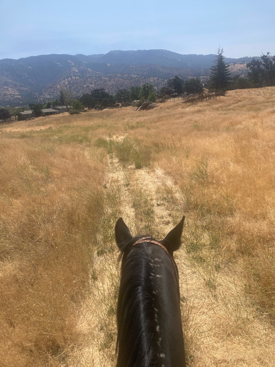
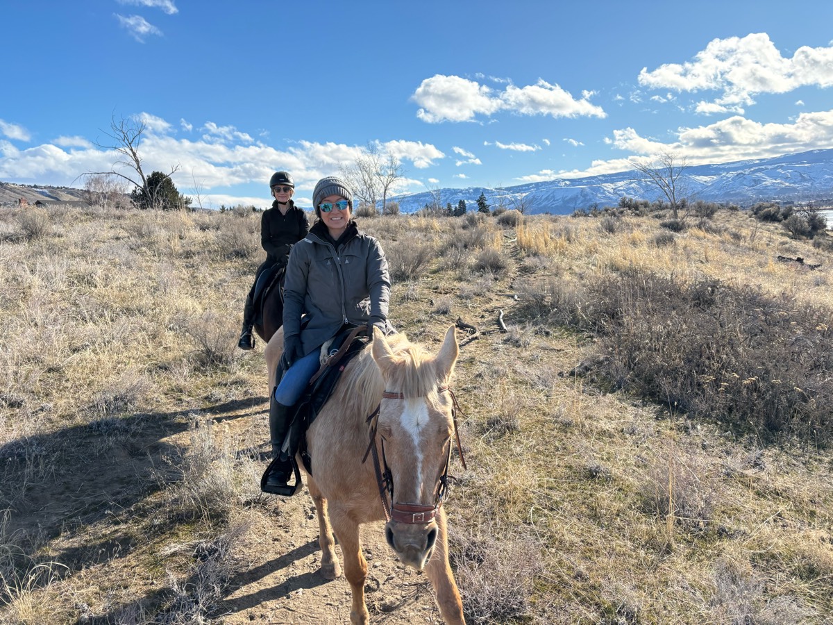
All horse trails in the United States


Ready to explore the best equestrian trails near you? Equilab offers thousands of riding routes for scenic strolls, endurance training, and more. Discover verified trail maps to find the perfect path for your next adventure, and then track your ride – all using the world's best horse riding app.
Most popular trails


Hill and hills. Rocks. Great views

Harwood Lake but the long way around

Store to Forest Camp
Back in saddle for me n Max.

Needs maintained
Poorly marked so we made some of our own way
Horse trail some rocky areas
Public park- beautiful well maintained trails
Gilber neighborhood mostly asphalt
Genito to Balmoral Woods
North Loop New; sometimes hard to follow; trail marked with both tree markers and some areas only with pink/green/orange tape.
Flat pretty easy track

Nice wide trails, some hills, river access.
Lots of hills. Some rocky areas. Super nice ride and close yo home!

Mix of woods and fields, with mixed terrain sandy, rocky, hills, flats.
Lots of trails. Well marked.
West loop only. It does share the trail with the bike trail twice for about 20 feet

Variety of scenery, beautiful ridge top and streamside views, moderate difficulty due to hills, switchbacks, steep rocky terrain


Eastern loop at Vermillion Highlands, AKA UMORE

Nice easy loop going to the left towards blueberry hill
Mostly wooded, you have to cross one hard surface two mo lane Road
Hilly but goes through the lake and that’s fun.
Some asphalt and some dirt trail off to the side of asphalt. Busy trail with lots going on! Looks deceptively easy but horses tend to be very excited every time Ive ridden this, no matter what horse i am riding. Not for beginner riders.

A combo of woods, hills and pasture land.

Past the saw mill on the way out, over to Trumps, then through the back Howard’s field.

For a short tough climb, head East on the trail towards Cowboy Camp. Make a left towards Firebreak. At the junction, take Switchback Spur through the creek. Hang a right on Just An Hour. Cross the road and make a left onto Butterfly Spur. Follow downhill to Donnas to Medford Rd.
Steep, narrow and rocky
9 miles of mostly flat trails with obstacles you can try.
Lookouts and Ridge trail
55 miles of horse trails in Big Rapids, Michigan
Lake Lowndes horse trails
through the creek twice
Nice easy good gaiting

Waterloo blue loop. Some of kids loop. Sandy with cobblestones pebbles to softball size

Easy to low moderate. Some rocky segments
River crossing, through trees and on some main roads and little bit rocky terrain
Wooded and mowed grass
Great with lots of shade

Great views of Lake Hartwell
Long dirt road/some asphalt/gavel

Loop of pea ridge military park
West then cross wash and work way to State land , turn before 150 and then weave way back east to Chrissy’s some up and down back

Long trotting loop behind my house
Beautiful wooded trails
Meandering trail through the cinders
Otter pond 237 entrance
James A Reed trails/roads

Nice trail not much mudd
Lots of hikers and dogs

Hilly with some steep elevation changes on the hill but very flat on the main trail
Very muddy and overflowing in spots in rainy season/ nice and sandy clear trails
The slightly longer version
5 miles with D
You head towards water tower but the way that has the fire road half way to get to the tower, when you get to fire road you stay on the fire road that goes by upper campus, then you get back on a little skinny trial again and the path disappears so head towards school/in sight
Great out and back canyon ride down to the river. Very rocky


Lots of roots, unkept trails
11 mile technical hills

Gets to the base of the waterfall and back to barn

Nice wide trails, no water crossings

Black trail from far side of camp

Racing stripes
Crossed to shallow Ish water traps

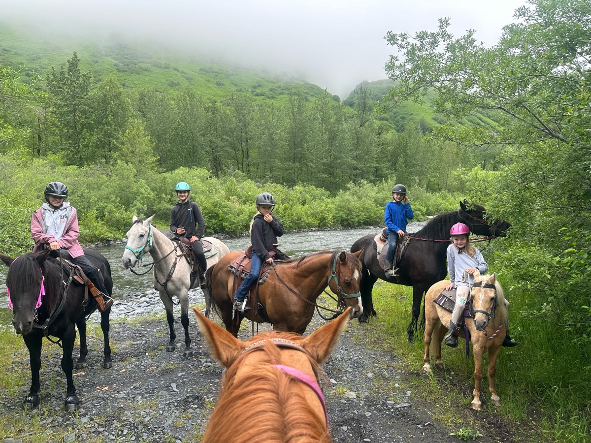
All trails in the United States
Ready to explore the best equestrian trails in the United States? Equilab offers thousands of riding routes for scenic strolls, endurance training, and more. Discover verified trail maps to find the perfect path for your next adventure, and then track your ride – all using the world's best horse riding app.
FAQ about Equilab trails
You can explore these trails and many more within the Equilab app! Simply download the app onto your mobile device, create an account, and then head to the “Track” tab. There you can view thousands of trails to discover and ride.
No, Equilab empowers equestrians everywhere to discover and ride trails for free! By creating an account within the app (no payment needed), you will be able to see and ride all public trails. Our Premium subscription offers great additional features, which you can learn more about here.
You can control the visibility of any trails you create using Equilab by selecting different privacy options when saving the trails. If you choose to make a trail "Public", it will be visible here on our website and to anyone using the app. Private trails, on the other hand, are only visible to you and (if you're a Premium user) anyone you share them with. Note: If you rode on private property, we strongly recommend saving your trail as "Private".
Equilab’s list of trails currently only includes those that have been tracked by riders using the Equilab app. As a result, there are still many trails not yet included in our platform. Anyone can track trails and add them for free, however — giving you the chance to help others discover new places to ride!
Yes! You can add a trail from any ride you track using the Equilab app. To so, simply download the app, create an account, then record your ride on the trial.
Note that to create a trail, the ride must be at least 0.6 miles long, have taken at least 5 minutes, and must not have been tracked within an arena.
Our community members have added more than 35,000 public trails, and new ones are added every day. We hope you enjoy exploring them!

Contact our team
Feedback & Help
support@equilabapp.com
Press and Partnerships
marketing@equilabapp.com
Business Inquiries
admin@equilabapp.com


