


All trails in the United States


Ready to explore the best equestrian trails in the United States? Equilab offers thousands of riding routes for scenic strolls, endurance training, and more. Discover verified trail maps to find the perfect path for your next adventure, and then track your ride – all using the world's best horse riding app.
Most popular trails


Great short ride with plenty of good footing for trotting and a short steep climb. Footing is fairly good all the way around a few rocks here and there but overall good. Water is available in the spring and mid summer at the start and end of the ride

Mostly flat trails with a few steep hills leading down to the river.
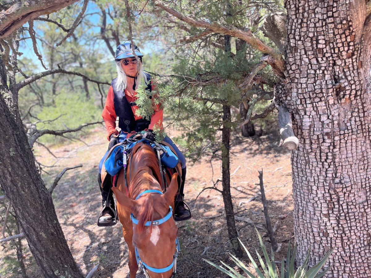
very bumpy in woods; lots of hills
Trinity Trail on Lake Lavon
Up red, green, purple, steps, purple, back

Mostly flat and wide enough for two horses. Some road riding, but wide shoulders.
Jacktown/50 acre twice around the beginning of the ride closer to our original spot, he did not want to move forward. Finally got through it the rest of the ride perfect.
2 hill sets, lots of walking
Flat to Butcher Hill


From the campground - nice trail.
Cross several roads dead end
Up a down. Mostly woods. Some mud
Old refurbished train bed
Traffic busy bikes

Single cow path with some areas of road width trail
Red, white and blue trails. Mostly flat and wide with a few hills at creek crossings
Around the Hansen dam area starting from MVR

Some open meadow, some trails through the trees.
Some hills. We went to the water crossing at the end. Next to the road at times and cross the road twice. Good trail!
Loops around cheatham hill
Wet and muddy. 2 Big puddles!
Rolling hills with gorgeous views.
Trails thru woods and around ponds.


Roma Gate to Main House Straight, then Windy Path back
Hard, rocky, water crossings.
6 easy miles worth of trails
Driveway thru woods thru blue stem in

Well marked a little wet
Rocky trails with extreme altitude
9 mile loop around Lake Lavon
River up to Hangglider and back
Muddy areas were dry today. This was an easy route that avoided big hills, the back trail bridges, and potentially “dangerous” narrow spot along the river. Appears that the park may be planning to put new trail markers out as colored plastic streamers were placed at intervals.

Left from the horse campground.

Easy. Mostly flat. Several water crossings.


Beautiful uplands with lots of wildlife
Margarette Falls parking area. Moderately rocky. 13 creek crossings of moderate difficulty.

Mountain Trail

Washington parkway trail St. George
Seahorse Acres beach ride

Shared private property
Some long hills but plenty of flatter areas too. A great mix.
13 mile endurance trail are Sugarloaf
End of trail not passableCulvert broken in creek

Hill ride easy to moderate ride
Pinetree dirt and lot rock trails
Pleasant for a nice hack
Ride out on the road that passes Cowboy camp (Medford) pass the camp and take the first trail on the right (Cranberry Lake Trail). Cross the lake and hook a right. Theres a few other trails along the way, but follow this map and you’ll make it back to camp just fine.
Down Up to Sky Ridge to South Fork

Horse camping trail. Areas to get in the lake.

State park wooded trails
Long trail on horseback, lots of hills, roots, and jumps
Park at Fant’s Grove. Start on LEFT side of B28.
Waterfront ride

Dawson Butte state park

Fall 24 Hunter pace
4 mile trail near Phillips pond
Rina/ Rode with Molly
Nice trail love the canopy
From stables to paddocks to vineyards.
Sandy, some gravel/rocks.
Parking at weight scales, trail is across the highway, can go left or right
All trails in the United States
Ready to explore the best equestrian trails in the United States? Equilab offers thousands of riding routes for scenic strolls, endurance training, and more. Discover verified trail maps to find the perfect path for your next adventure, and then track your ride – all using the world's best horse riding app.
FAQ about Equilab trails
You can explore these trails and many more within the Equilab app! Simply download the app onto your mobile device, create an account, and then head to the “Track” tab. There you can view thousands of trails to discover and ride.
No, Equilab empowers equestrians everywhere to discover and ride trails for free! By creating an account within the app (no payment needed), you will be able to see and ride all public trails. Our Premium subscription offers great additional features, which you can learn more about here.
You can control the visibility of any trails you create using Equilab by selecting different privacy options when saving the trails. If you choose to make a trail "Public", it will be visible here on our website and to anyone using the app. Private trails, on the other hand, are only visible to you and (if you're a Premium user) anyone you share them with. Note: If you rode on private property, we strongly recommend saving your trail as "Private".
Equilab’s list of trails currently only includes those that have been tracked by riders using the Equilab app. As a result, there are still many trails not yet included in our platform. Anyone can track trails and add them for free, however — giving you the chance to help others discover new places to ride!
Yes! You can add a trail from any ride you track using the Equilab app. To so, simply download the app, create an account, then record your ride on the trial.
Note that to create a trail, the ride must be at least 0.6 miles long, have taken at least 5 minutes, and must not have been tracked within an arena.
Our community members have added more than 35,000 public trails, and new ones are added every day. We hope you enjoy exploring them!

Contact our team
Feedback & Help
support@equilabapp.com
Press and Partnerships
marketing@equilabapp.com
Business Inquiries
admin@equilabapp.com


