


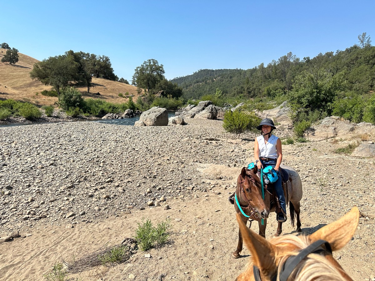
All trails in the United States


Ready to explore the best equestrian trails in the United States? Equilab offers thousands of riding routes for scenic strolls, endurance training, and more. Discover verified trail maps to find the perfect path for your next adventure, and then track your ride – all using the world's best horse riding app.
Most popular trails


Broken Arrow Trail
Mainly woods- nice trailSome open areasSome wider trails
Memorial ride with 219 riders

A good trail to condition your horse
Farthest access to Smithville Lake trail system
Dirt road from my farm to archer road and then back around on the next dirt road to the back of the property
Flat 2-3 hills

Vineyard Mtn to hole in the bucket
Very easy trails. Beginner trail rider friendly. Not very hilly.

From trailer parking area, take blue marked carriage trail to ledge’s loop marked sign (dont go down ledges loop) then turned around. Could continue trail
Roughly 6 mile loop trail. Dogs, hikers, and bicyclists have access to this trail so it's recommended to bring a trail savvy horse. A few steep climbs and street crossings, but a relatively easy ride
Dumajack loop and the new knee knocker. Shows starting from Grassy Pond neighborhood. Trailer parking planned for where dog road meets Greenhead rd.

Two loops equaling approximately 9 miles. Some flat, some hills. Nice relaxing ride through the woods.
Difficult narrow technical. Not for faint of heart on second half.

State forest standards
Gravel, dirt, single track multi use trail. Go during weekday for a chill vibe.

Some easy, wide trails with solid dirt footing. Can be buggy at times. Also some steeper trails with roots and rocks. Creek access, creek is very rocky. A few large, well maintained fields. Gravel parking lot and water spigot. Typically fairly quiet trail.
Cleared trails and open fields

Ball Diamond to Doc’s Mountain to backside of camp through the water
(Tibble to pine hollow west)
There was some areas of standing water. New trail was beautiful came out on sand trail then back on spur.
Slightly hilly established trail on the property of Windswept Farm, trail is rocky, dirt, grassy in some spots. This is the longer loop version of this trail, it can be done shorter on intersecting trails and there are other connecting trails that go off property.
Nice horse trails. All different terrains.

Took lower trail, 5 bridge crossings

Mostly single track through woods and clear cut areas. Good hills for conditioning.
Packed dirt and mild rock except for Cresta trail (heavy rock)

Awesome ride! Park in the Northern Parking lot! Plenty of space for large trailers.

Trail from Horse Camp. Muddy when we went due to overnight rain. Some logging activity. Beautiful ride.
Through the Laurels
Lots of water, muddy, gravel road to gait

Gentle incline. Hikers and bikers yield to horses
Mostly flat trails
Lots of hills, ups and downs
Twinline-PoachersPath-Blue-Mud-Pond


Kind of over grown, lots of clearing can be done with hand trimmers couple of trees across the trail that need a small chainsaw to clear them out of the way.
Monument Rock via Rampart Range Ranch

Trail has alot of shade

First half is short around 2 hoursSecond Half about the sameRide separately or combine for a full day
Blue > White > Yellow
Easy, some small hills
Cocino National Forest

Sand, grass, woods, meadow
Volkswagen plant nature park trail gate 6C

Not too many rocks
Soft trail with hill climb, come back through washout with some rocks

Part of the Tevis trail. A good horse is a MUST on this narrow, rocky, technical trail

L9ng and quiet

Easy - see old mill
Mostly walk some spots for trottingÔøº
Easy trail ride
Endurance training ride at gihp from Steeplechase

Moderate hilly.
All trails in the United States
Ready to explore the best equestrian trails in the United States? Equilab offers thousands of riding routes for scenic strolls, endurance training, and more. Discover verified trail maps to find the perfect path for your next adventure, and then track your ride – all using the world's best horse riding app.
FAQ about Equilab trails
You can explore these trails and many more within the Equilab app! Simply download the app onto your mobile device, create an account, and then head to the “Track” tab. There you can view thousands of trails to discover and ride.
No, Equilab empowers equestrians everywhere to discover and ride trails for free! By creating an account within the app (no payment needed), you will be able to see and ride all public trails. Our Premium subscription offers great additional features, which you can learn more about here.
You can control the visibility of any trails you create using Equilab by selecting different privacy options when saving the trails. If you choose to make a trail "Public", it will be visible here on our website and to anyone using the app. Private trails, on the other hand, are only visible to you and (if you're a Premium user) anyone you share them with. Note: If you rode on private property, we strongly recommend saving your trail as "Private".
Equilab’s list of trails currently only includes those that have been tracked by riders using the Equilab app. As a result, there are still many trails not yet included in our platform. Anyone can track trails and add them for free, however — giving you the chance to help others discover new places to ride!
Yes! You can add a trail from any ride you track using the Equilab app. To so, simply download the app, create an account, then record your ride on the trial.
Note that to create a trail, the ride must be at least 0.6 miles long, have taken at least 5 minutes, and must not have been tracked within an arena.
Our community members have added more than 35,000 public trails, and new ones are added every day. We hope you enjoy exploring them!

Contact our team
Feedback & Help
support@equilabapp.com
Press and Partnerships
marketing@equilabapp.com
Business Inquiries
admin@equilabapp.com


