


All trails in the United States


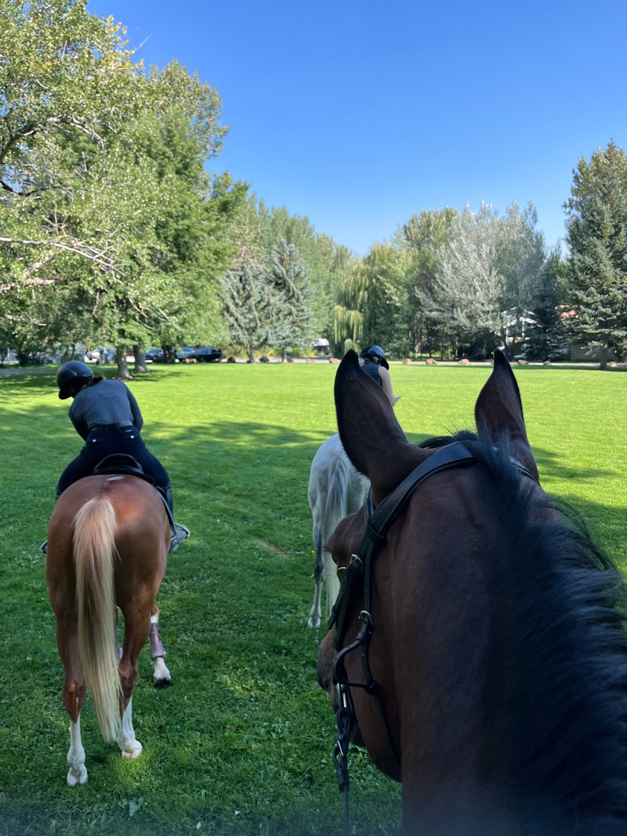
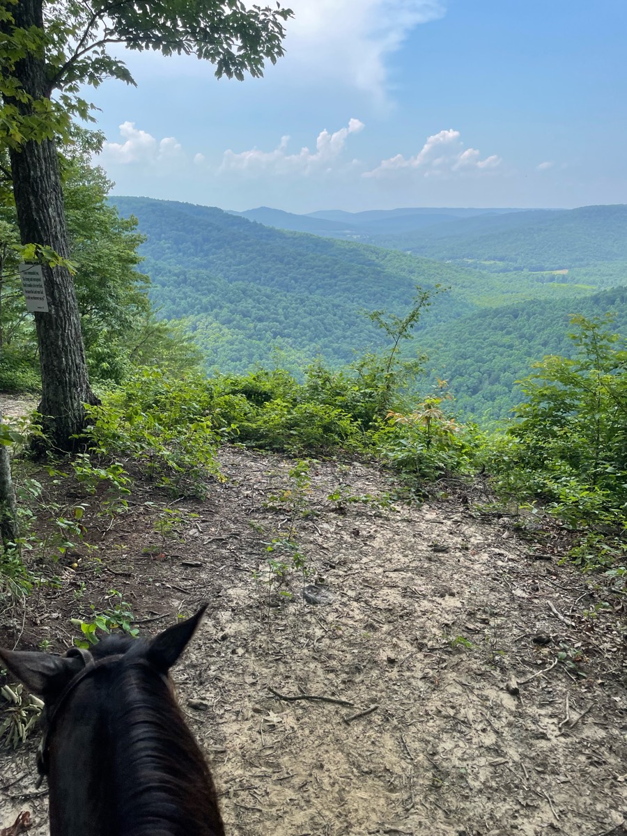
Ready to explore the best equestrian trails in the United States? Equilab offers thousands of riding routes for scenic strolls, endurance training, and more. Discover verified trail maps to find the perfect path for your next adventure, and then track your ride – all using the world's best horse riding app.
Most popular trails


Fun trail on East McMaster*Note*: This is not the complete trail.
Grindstone Lake fishermans Trail loop.

Hilly, dirt road first then into woods. Might have trees blocking, just go around. Gets grassy further in. Could go father then what we went.
Neighborhood trail at Spruce CreekAcres. JAMESTOWN TN
Rocky and steep. Woods, fields tunnel and bridges.

Some twisty narrow shaded trails and some nice sandy wide trails for lope and long trot

Out to Prosser and back

Gets to the base of the waterfall and back to barn

Beautiful Sandy multi use trail through woods & vale.

Long Laney Trail along the river, some hard rocky spots, but everything is super easy. Goes trough a neighborhood and a park.
 a little mucky, but nice trails marked Ron’s Place is awesome. He thought of everything for horse in Ryder. There is a state camp up the road.
No town sinkhole path back
Some gravel road riding.
Rocky and on west side of 3rd arroyo

Nice trail, super close to the barn.
Mostly road, under scary bridge then old 273 cross bridge to parking
Blue trail to blue/white. Easy ride
Forested, changes in elevation.

Moderate, peaceful

Saddle and cart trails. Caution for bike crossings.
Well groomed, fun, fast, lots of turns and hills
Mostly grassy, wide trails

Dog Cholla to Buena Suarte Road to Crystal Trail to Camino Viejo Trail to Contrabando Waterhole Trail to West Main Trail to N Lone Star Mine Road to Buena Suarte Road to Rock Quarry Trail to Buena Suarte Road
Sand rocks some trail washout.

Trail starts and ends at the Santa arena.
Variety of terrain, sand, climbing, rocky, switchbacks, etc

Trailer area at far end of parking lot; coming up hill, look out for families with strollers/bikes/children. Payment station takes cc, or buy an annual park pass. Will run into bikers/hikers on trails. FB page for trail closure notices, ride Upper Wooten Rd if trails closed.
Woods. By road ki

Lehigh zoo border trail
Fun and hilly, very technical


Great loop. Probably 50/50 sun and shade. Don’t remember any rooty or rocky parts.
High Point, Homestead, Lake View. Wide Trails,
Loop around Monkey Mountain
Piedra to La Senda and arena
Beautiful winding trail


Outside Glenrock
Starting at the Horse transfer, go down dragon spine and threw the meadow back up the road and over bs Trail . Side loop optional for a little extra distance, and some sharp inclines and declines. Ôøº

Beautiful, peaceful, all wooded, rocky, some roller coaster hills, some long steep hills up and down, lots of creek beds but dry right now with drought 10/09/2024. Forked a lot so will have to keep an eye on tracker to know which ways to go until learned.

Pretty ride along the river

Steady incline hills, creek and bridge crossings
5 miles with D

Lots of room for training
Around the loop and to my house
Gallop field walk with the long way back goE

beautiful ride, easy trails. not real rocky
Mild to moderate terrain

Through new neighborhoods
Mixed sand, rock hills. Woods
Nice calm ride in the orange groves, along Arredondo Road. Please, please don’t go inside the road with a paster out front. Have a nice time!
Wishing well, salt Peter cave, goat trail
Mix of road, trails, steep hills and lots of rocks
Lots of hill climbing. Beware blind corners

All trails in the United States
Ready to explore the best equestrian trails in the United States? Equilab offers thousands of riding routes for scenic strolls, endurance training, and more. Discover verified trail maps to find the perfect path for your next adventure, and then track your ride – all using the world's best horse riding app.
FAQ about Equilab trails
You can explore these trails and many more within the Equilab app! Simply download the app onto your mobile device, create an account, and then head to the “Track” tab. There you can view thousands of trails to discover and ride.
No, Equilab empowers equestrians everywhere to discover and ride trails for free! By creating an account within the app (no payment needed), you will be able to see and ride all public trails. Our Premium subscription offers great additional features, which you can learn more about here.
You can control the visibility of any trails you create using Equilab by selecting different privacy options when saving the trails. If you choose to make a trail "Public", it will be visible here on our website and to anyone using the app. Private trails, on the other hand, are only visible to you and (if you're a Premium user) anyone you share them with. Note: If you rode on private property, we strongly recommend saving your trail as "Private".
Equilab’s list of trails currently only includes those that have been tracked by riders using the Equilab app. As a result, there are still many trails not yet included in our platform. Anyone can track trails and add them for free, however — giving you the chance to help others discover new places to ride!
Yes! You can add a trail from any ride you track using the Equilab app. To so, simply download the app, create an account, then record your ride on the trial.
Note that to create a trail, the ride must be at least 0.6 miles long, have taken at least 5 minutes, and must not have been tracked within an arena.
Our community members have added more than 35,000 public trails, and new ones are added every day. We hope you enjoy exploring them!

Contact our team
Feedback & Help
support@equilabapp.com
Press and Partnerships
marketing@equilabapp.com
Business Inquiries
admin@equilabapp.com


