


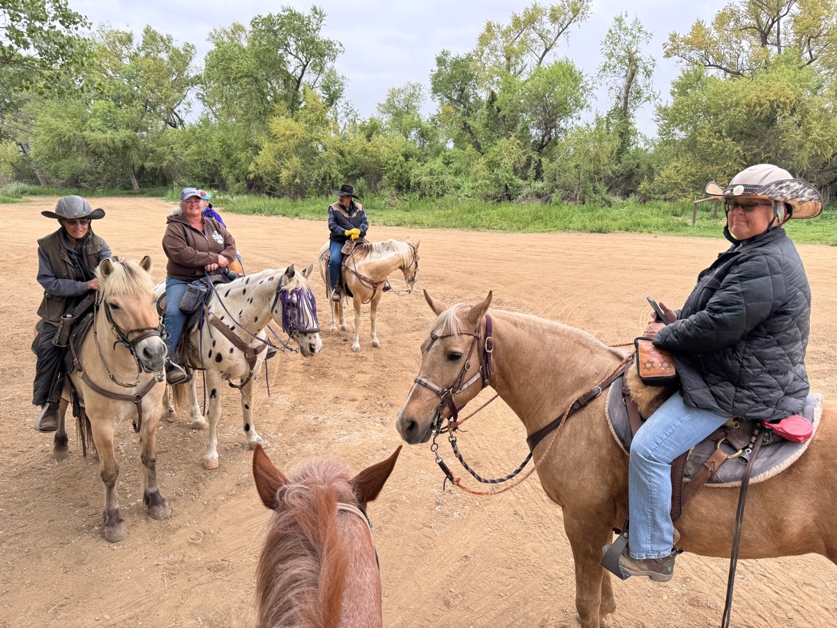
All trails in the United States


Ready to explore the best equestrian trails in the United States? Equilab offers thousands of riding routes for scenic strolls, endurance training, and more. Discover verified trail maps to find the perfect path for your next adventure, and then track your ride – all using the world's best horse riding app.
Most popular trails


Gradual incline. Some mud spots but not bad

Nice, slightly ro KY and narrow in places
Riding the trails any the Allen County Equestrian Course
Mostly cleared trails
Grassy fields, some creek, across the street from Starry Night Stables
Rocky with hills and wet from rain

A meandering path that loops back to the trailer parking halfway through.
Easy. 2 creek crossing, single track & gravel roads
Easy, mostly flat, no rocks.

Nice easy loop going to the left towards blueberry hill

Mixed trail, steep incline out to an open golf course big canter lines


Red & Across street

Beautiful ride around the lake but to long
River trail till downed trees by 7 mile.

Rugged lots of ups and downs
N. Star Rd lot to Lake Terrell Rd lot cut through


Les Hilde Trailhead, trail took 4 hours with lunch stop
Just walking getting use to each after 6 weeks off .Stops changing directions,We did great together after some lack of attention, the flysbothered her so we moved to our front yard, Thenwe did good, I am pleased.
1 mile diet and blacktop easy small hills

Blue yellow and orange trail
Lake to swimming hole and back.
Wire grass to longleaf pine to fix squirrel to Longleaf
Outside loop, a little swampy.
Hilly and narrow in parts
Yellow trail out, Red trail back.
Easy to low moderate. Some rocky segments

Beautiful trail 4.7 miles
A lot on the road
Moderate trail from Larry’s to Indian head.

Concrete with grass sides wide enough to ride
through the creek twice
Broken Arrow Trail

Easy, wide very few steep climbs with a couple water crossings . Went to lake

Very quiet trail around farm fields and a small lake pretty much all grass

Started a tracker at the last half hour of the ride. Probably closer to about 6 miles what we did and made it a loop - comp lot:Hard pack, some Rocky some just Lightly covered with sand. Slight incline and decline. Gone through a couple washes, lovely trail. Some road crossings.
Standard loop, easy out and can run home if wanted. Nice fun little ride.

8 mile loop & 10 mile loop

Good footing, leads into a equine community

Forgiving hill route. Can be slick after rain. Heavy motorcycle and bike route - plan use times accordingly.
Half road half trail. The roads are dirt roads. Didn’t start until we were about a mile in with the tracking

Really pretty views and decently easy. Lots of rocks and slopes
Northern Kettle Morraine 14 mi novice trail
Douglas Co park facility. Some trails criss-cross Frisbee golf course. May see hikers. Restrooms in activity building, and outhouse on trail. Have to cross some bridges for back trails. Narrow path along river.
Mild, forested, lovely trail. There is a shooting range some distance from the trail (not a danger to riders). On some days the sound can be loud on parts of the trail. Just be aware if your horse isn’t used to that type of noise.
Lone Grave areaTrail head - Conservation camp parking lot

Wide shoulder on FM 672 starting at 7800 FM 672 headed towards Lockhart. Watch out for culverts. There is one bridge crossing where you must ride on the road.

Very nice trail going through the fields and in the woods. Only part of it has gravel.
Part of the bladen lakes trail system. Flat lamd in a pine forest
Has some difficult times. Option to go straight instead of up the hill
Wooded, mixed sandy/clay and gravel

Yellow Green. Blue and Brown trail
Start out at power lines at Diamond D then cross over to Long Branch. Fun ride
Horses need to be road safe

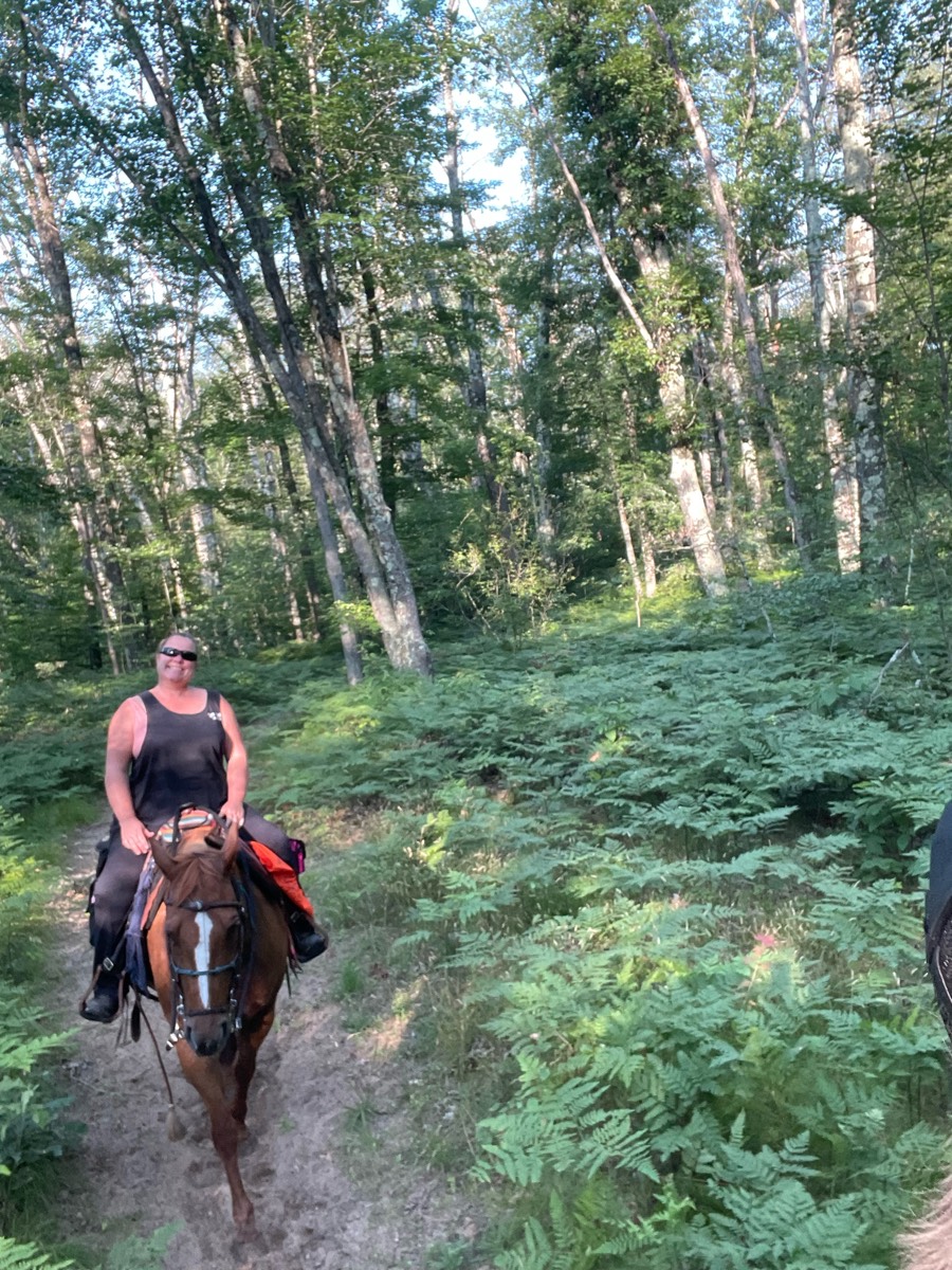
All trails in the United States
Ready to explore the best equestrian trails in the United States? Equilab offers thousands of riding routes for scenic strolls, endurance training, and more. Discover verified trail maps to find the perfect path for your next adventure, and then track your ride – all using the world's best horse riding app.
FAQ about Equilab trails
You can explore these trails and many more within the Equilab app! Simply download the app onto your mobile device, create an account, and then head to the “Track” tab. There you can view thousands of trails to discover and ride.
No, Equilab empowers equestrians everywhere to discover and ride trails for free! By creating an account within the app (no payment needed), you will be able to see and ride all public trails. Our Premium subscription offers great additional features, which you can learn more about here.
You can control the visibility of any trails you create using Equilab by selecting different privacy options when saving the trails. If you choose to make a trail "Public", it will be visible here on our website and to anyone using the app. Private trails, on the other hand, are only visible to you and (if you're a Premium user) anyone you share them with. Note: If you rode on private property, we strongly recommend saving your trail as "Private".
Equilab’s list of trails currently only includes those that have been tracked by riders using the Equilab app. As a result, there are still many trails not yet included in our platform. Anyone can track trails and add them for free, however — giving you the chance to help others discover new places to ride!
Yes! You can add a trail from any ride you track using the Equilab app. To so, simply download the app, create an account, then record your ride on the trial.
Note that to create a trail, the ride must be at least 0.6 miles long, have taken at least 5 minutes, and must not have been tracked within an arena.
Our community members have added more than 35,000 public trails, and new ones are added every day. We hope you enjoy exploring them!

Contact our team
Feedback & Help
support@equilabapp.com
Press and Partnerships
marketing@equilabapp.com
Business Inquiries
admin@equilabapp.com


