


All trails in the United States


Ready to explore the best equestrian trails in the United States? Equilab offers thousands of riding routes for scenic strolls, endurance training, and more. Discover verified trail maps to find the perfect path for your next adventure, and then track your ride – all using the world's best horse riding app.
Most popular trails


18.7 miles Red Loop Sugarloaf endurance ride
I picked him up at his house. Didn’t turn on Eq until almost there

Mostly shaded
https://www.landheritageinstitute.comOnly open on some Saturday’s. Check website for open days
Mostly flat with creek crossings


This is just one of the many trails Bridlewild has to offer. Water crossing, inclines, and a very scenic trail. Be advised that you might or will have to cross roads to continue to other parts of the trail. One part of the trail is extremely rocky, but that’s not on this part.

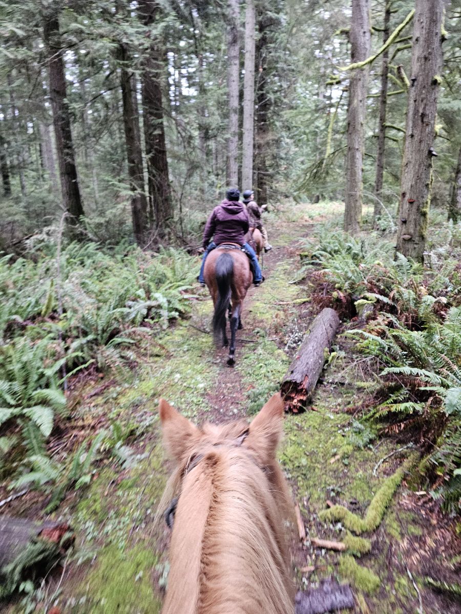
Easy to intermediateRoots, hills, and rocks (single riding width)

Beautiful ride steep but a nice loop
Mountains and rocky.
Beautiful wide sandstone trails. Clearly marked, beautiful views. One of my favorites!

Calm trail through the mountians next to bouquet canyon rd and vasquez canyon
Wash, rock and some hills.

Steep challenging terrain

Nice sandy peaceful lake and creek crossing
Great long ride today.

Hilly and chilly, but with stunning views!
Easy takes about a hour and a half to get back to the barn

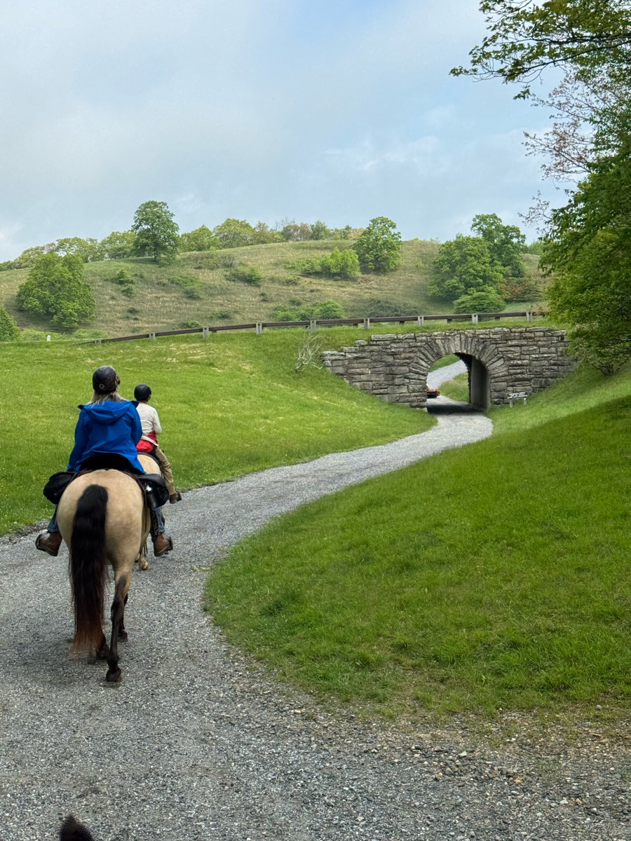
Hilly, picturesque

Few technical details
Some deep sand, hills, flats, horse trails cross bike trails, connects to other trailheads.
Ride to PCH and back home
Public park- beautiful well maintained trails


Started out on red trail to fire road then lost the short red trail and followed Scott Drive back to camp

Single file, lots of ups and downs, rocky, beautiful views! Weekends might be busy with foot race events.
The slope out of David canyon is very rocky, I climbed and led Jack up the steepest parts
Mix of woods and fields, with mixed terrain sandy, rocky, hills, flats.

Short ride from 4B. Perfect for a warmup or late afternoon ride. I ride barefoot but my horse has pretty hard feet so some horses might need shoes or boots.
Sandy, gravel pit and lake access

River mill plus cutoff
Barn to the square
By river and beach and creek loop back iver bridge

Red, blue, yellow, green loop
Across the railroad tracks- loop to the right for conditioning

A forest trail, 7 miles in total length. Fairly large parking lot, which can comfortably fit multiple large trailers, but it isn’t marked specifically for trailers. Multiple hills, a few fairly steep. Some portions can be soggy depending on rainfall. Shared with bikers and hikers
Woods, sand, prairie, hills .
Kind of muddy but soft!
Small trail loop at Lake Isabella

Cross country trail, some road riding. State trust Land permit needed.

SandyFollows the road side with different branches that trail off to smaller paths

Excellent footing, wide enough for horses, many many bugs (rode may 7th 2025)

Mr T and Kate/Bella

5.7 mile paved and gravel roads only

Rocky Hollow Cutoff to Rocky Hollow Rd, back to the barn.
Mostly shady except part of pink trail.Mostly sand or grass but sone small gravel to traverse. Can ride in the dude in these areas.Two water tanks, clean.Enjoyable, well-marked trails!

Great camp santinoni
All trails in the United States
Ready to explore the best equestrian trails in the United States? Equilab offers thousands of riding routes for scenic strolls, endurance training, and more. Discover verified trail maps to find the perfect path for your next adventure, and then track your ride – all using the world's best horse riding app.
FAQ about Equilab trails
You can explore these trails and many more within the Equilab app! Simply download the app onto your mobile device, create an account, and then head to the “Track” tab. There you can view thousands of trails to discover and ride.
No, Equilab empowers equestrians everywhere to discover and ride trails for free! By creating an account within the app (no payment needed), you will be able to see and ride all public trails. Our Premium subscription offers great additional features, which you can learn more about here.
You can control the visibility of any trails you create using Equilab by selecting different privacy options when saving the trails. If you choose to make a trail "Public", it will be visible here on our website and to anyone using the app. Private trails, on the other hand, are only visible to you and (if you're a Premium user) anyone you share them with. Note: If you rode on private property, we strongly recommend saving your trail as "Private".
Equilab’s list of trails currently only includes those that have been tracked by riders using the Equilab app. As a result, there are still many trails not yet included in our platform. Anyone can track trails and add them for free, however — giving you the chance to help others discover new places to ride!
Yes! You can add a trail from any ride you track using the Equilab app. To so, simply download the app, create an account, then record your ride on the trial.
Note that to create a trail, the ride must be at least 0.6 miles long, have taken at least 5 minutes, and must not have been tracked within an arena.
Our community members have added more than 35,000 public trails, and new ones are added every day. We hope you enjoy exploring them!

Contact our team
Feedback & Help
support@equilabapp.com
Press and Partnerships
marketing@equilabapp.com
Business Inquiries
admin@equilabapp.com


