


All trails in the United States


Ready to explore the best equestrian trails in the United States? Equilab offers thousands of riding routes for scenic strolls, endurance training, and more. Discover verified trail maps to find the perfect path for your next adventure, and then track your ride – all using the world's best horse riding app.
Most popular trails


Rocky. Second half better than first

Really beautiful trail.
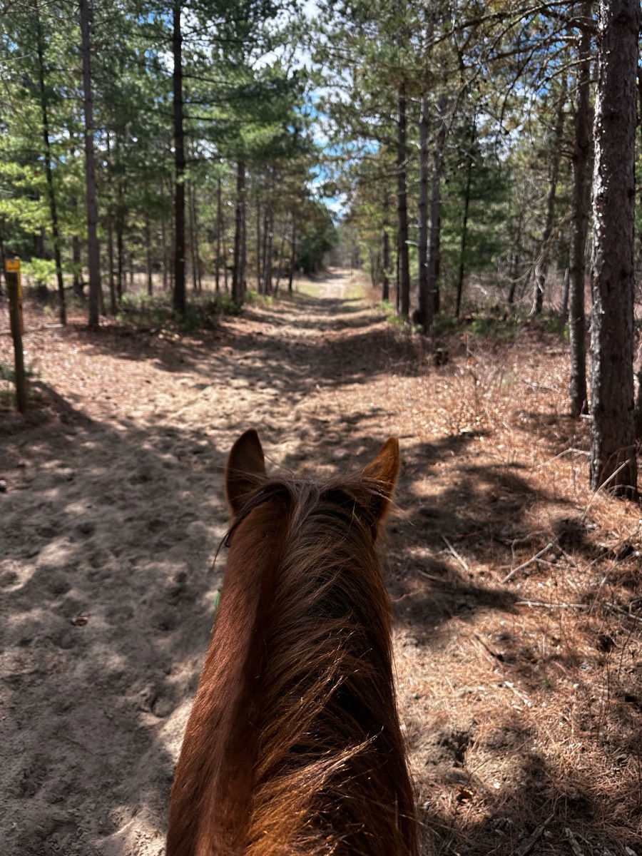
Sandy Pines - good footing, some shade.
Up and downs nice and quiet
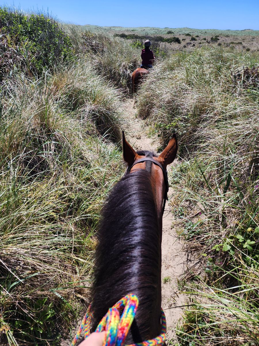
Sand Dunes State Park


A bit of everything hills, flat, rocks, water


Beautiful wooded trails, you should check with the camp before going to make sure no events are happening. A $10 donation is appreciated to help with upkeep on trails
Pretty flat some muddy areas


Near Fairchild State forest park ride from TRR
Flat and shale gravel. Shaded

Super fun! I went with my friend, sidekick was very energetic
Passes houses, walks parallel to roads, occasionally, hills, and occasionally walking over concrete
Staying on same side of road
Take Donna’s hit Buttery Fly Spur. Head up the 2000 road to JR’s trail, Tennis Shoe on the clear cut. Head up Jack Sims. Turn right onto the logging road, walk a bit and then hit Dry Creek. You’ll ride through two creeks. Take Freemont’s Fav to Josh’s Holler, Camp 3 to Donna’s.

Rockie and a lot trees down
Mixed ground through Arcata Forrest next to HSU. 2 entrances available. Went from diamond drive to creek loop
Pine hollow to timpanoke to loop to meadowNot highly technical - but steep and rocky from campground to meadow
All over the damn place

Wide trails some rocks some climbs fairly easy trails only open to horses on weekdays must pre register.

My house to 127, then to asphalt rd with church to horses in field, back to Mike's pasture then up dirt road to home for some mounting training at trailer great solo ridr
Rt 20 to Street Farm


Beautiful ride to the lake that was dry in August

Log creek church
Nice beach to ride on. Not to busy and good parking


Some wooded, some open fields, mostly level ground.

Easy. Parking lot is not plowed

With Kevin and Fury, headed out on a quick loop to the picnic benches and came back to meet with Sandy and Christy. Jewel did great and we walked the rest back alone as Kevin wanted to let Fury run. Beautiful day⭐️⭐️⭐️
Follow the main dirt road all the way up to the satellite tower and back. Ôøº
Superstition Mountain Deer Tank trail

Mainly back roads, just a small amount of Lil by pass

First half woods Last half fields and rocky road
First real ride for H, she knows this one well. Wasn’t difficult until Max spooked and Sonja and I got dumped haha.

All different kinds of terrain and miles of trails. Disc golf, snowshoe, hiking also here.

Lots of elevation changes and rocks Ôøº the start of this particular route is at a private barn

Lots of hill, water crossings, ride beside the lake, shaded by large trees. A little bit of dirt road riding, not busy.Some downed trees to navigate around, but it’s worth it. This is a WMA, they won’t be totally cleaned up… the trail will just go around them.

7.3 miles at broxton
James A Reed trails/roads
Locust to Fig to 33 Canal
Beautiful trail through Big Meadows in Shenandoah National Park. Lots of wildlife and gorgeous views.
Been here many times

Beautiful scenery and trails for all levels of riding
Creeks and bridges…train

Sleepy Hollow East Loop
Beautiful multi-use wooded trails, mostly gravel/dirt. Can be busy on weekends and weekdays especially from Spring through Fall depending on the weather. Plan on encountering hikers, bikers, runners as well as other Equine users. There is a Port-O-Potty by the trailhead.

Nice open and well marked trail
A shorter ride…2 hours, 5 ml

Hard rocky trail into the lake. Beautiful breathtaking views. Park at the horse camp for better parking
Flat sandy trail. Easy level.
Out the back lane, main trail across power lines to wooded trail, up hill across power lines and down trail to pick up main trail to back lane.

Gorgeous groomed trails. Some deep sand. This trail goes to the fire pit.
Blue and gray trail in Lone jack Mo. partial blue trail from overnight grounds.
Woods and open lanes, always a good time
Rocky with steep spots

Wooded , steady climb
Mix of a lot of trails crossing the river
Sandy wooded, lovely


Beautiful trail through the forest with elevation gains, bridge crossings, and some small creeks.
Good run, woods, creek crossings, meadows
Flat ground, some sloping ups and downs. Some parts overgrown

Soft footing, several creek crossings, some hills, narrow single track trail, forests, fields, flowers, amazing views.

Blue course at Potomac Hunt
All trails in the United States
Ready to explore the best equestrian trails in the United States? Equilab offers thousands of riding routes for scenic strolls, endurance training, and more. Discover verified trail maps to find the perfect path for your next adventure, and then track your ride – all using the world's best horse riding app.
FAQ about Equilab trails
You can explore these trails and many more within the Equilab app! Simply download the app onto your mobile device, create an account, and then head to the “Track” tab. There you can view thousands of trails to discover and ride.
No, Equilab empowers equestrians everywhere to discover and ride trails for free! By creating an account within the app (no payment needed), you will be able to see and ride all public trails. Our Premium subscription offers great additional features, which you can learn more about here.
You can control the visibility of any trails you create using Equilab by selecting different privacy options when saving the trails. If you choose to make a trail "Public", it will be visible here on our website and to anyone using the app. Private trails, on the other hand, are only visible to you and (if you're a Premium user) anyone you share them with. Note: If you rode on private property, we strongly recommend saving your trail as "Private".
Equilab’s list of trails currently only includes those that have been tracked by riders using the Equilab app. As a result, there are still many trails not yet included in our platform. Anyone can track trails and add them for free, however — giving you the chance to help others discover new places to ride!
Yes! You can add a trail from any ride you track using the Equilab app. To so, simply download the app, create an account, then record your ride on the trial.
Note that to create a trail, the ride must be at least 0.6 miles long, have taken at least 5 minutes, and must not have been tracked within an arena.
Our community members have added more than 35,000 public trails, and new ones are added every day. We hope you enjoy exploring them!

Contact our team
Feedback & Help
support@equilabapp.com
Press and Partnerships
marketing@equilabapp.com
Business Inquiries
admin@equilabapp.com


