


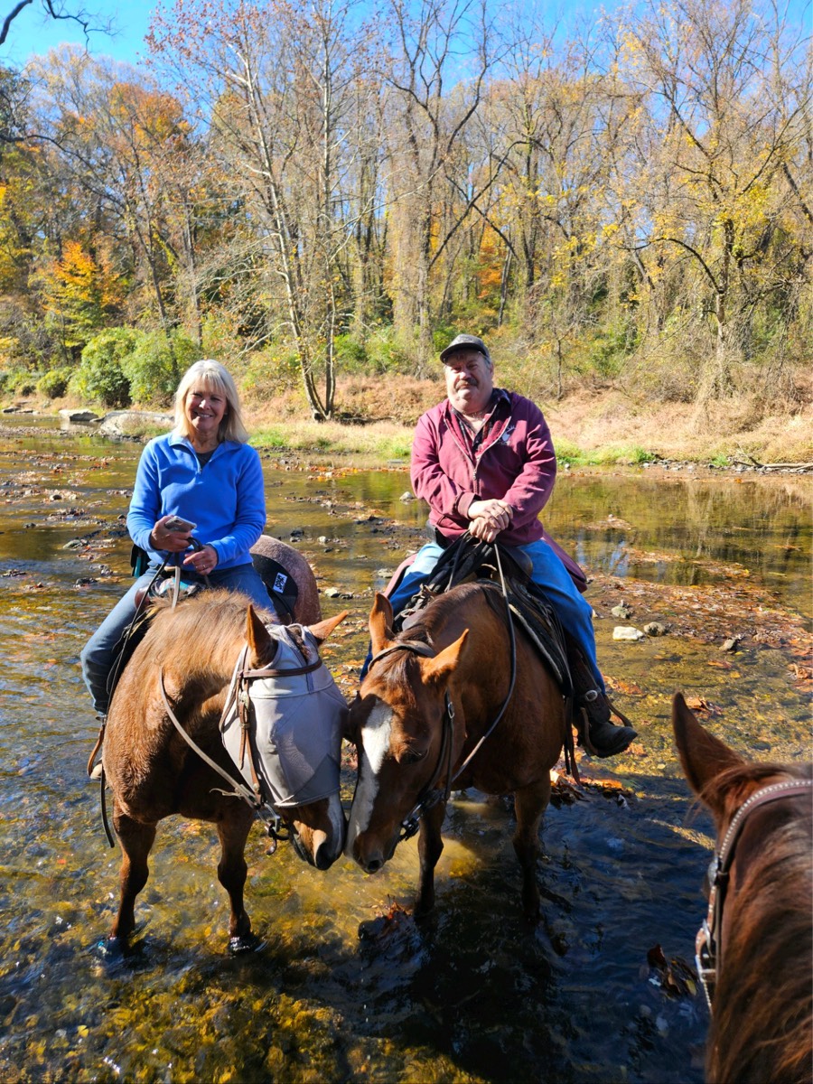
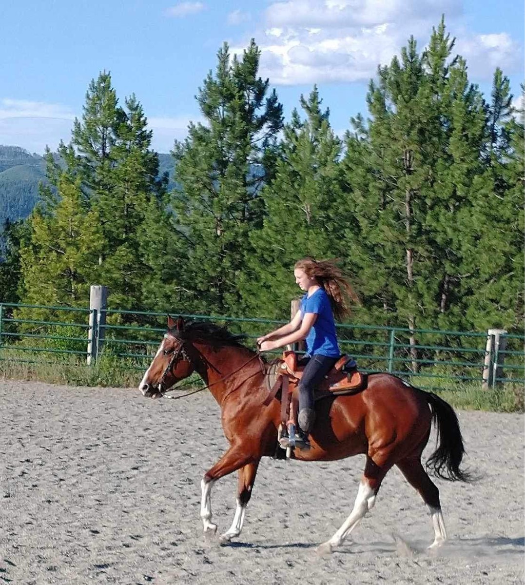
All trails in the United States


Ready to explore the best equestrian trails in the United States? Equilab offers thousands of riding routes for scenic strolls, endurance training, and more. Discover verified trail maps to find the perfect path for your next adventure, and then track your ride – all using the world's best horse riding app.
Most popular trails


Hills, sand, pasture


Barefoot friendly
The beginning of the creeper trail in Abingdon VA. Shared trail with runners walkers and bikes


Longer loop at silver lake. Some ducking and roots
Flat with a few elevations, primarily dirt through the woods, with some road. Must cross bridge with cars.
25th trailheads
Absolutely spectacular trail. Massive drop offs, loose shell and no water though.
5 mile loop from Mtn Vale to Honey Do and back
Dirt trail with some rocks and several road crossings
Along water then River
2 loops. Barefoot safe
Trail along river Dr- fire road.
Tight trail in places, minimal contact with people and dogs, rocky and roots, low branches in places, no bridges, one small creek in spring
Pawnee Morel hunting
Rough total of 30 miles of trails available.
Entrance to the Reservoir then Lucky 7 and back

Part of the Blue Marsh full loop trail. Combo of single track and wider field trail. Well marked.
started at Harmony Ln to Berry’s Mill Rd
Moderate challenge to the beach
Medium difficulty fun trail

Tommie's 30 minute
Fairy rock trails with some good soft stretches and a few of the in forest roads for long stretches. Has the super steep rocky hill climbs in there too.
This is part two make sure to look for part one on the trails that I have added as my app had cut out. I am adding this trail from 2021 so that I have it for future reference it is a two-part to get there and to get back and that's all that I can remember
Conditioned horse. Lots of climbing hills
Sandy mostly flat, beautiful forest
Water, restrooms, manure boxes, hitching posts, maps, and a wheelchair accessible mounting block are all available at the trailhead! If you want to hose your horses off you must bring your own water hose and bucket. You are asked to please kick all manure off the trails.
Watson Mill Short ride.
Abbreviated ride due to storm
Paved and gravel wide paths
Woods, Creeks, Rocky, Cutbacks, Steep
wooden and water

Easy beginner trail with two very shallow streams Tour trail riders share the parking lot so there are beginners in and out of the park
Single track with mtn bikers
This is a nice easy trail. It does have bicyclists and dogs, but the road is pretty wide so there's plenty of room to pass. There are some rocky areas, but nothing too bad.This trail is busy on the weekends, so riding during the week is recommended.

Rocky uneven moderately sloped
Riding out of Virginia’s house

Yellow cliff/ Salt Pine

tons of trails to Vere off on, crosses cold water, soft ground.
Hills, sandy and some rocky patches
Nice flat good for galloping


At the first there are some good climbs.
State forest to Olsen rd by horse farm to minor rd loop


This is at the Belle Baurch foundation in Georgetown SC
roller coaster mitchels meadow

South/west/east/south/ north to home
The day I made dad wait
Abuts road at some points, traffic visible through trees. Crosses edge of Archery range at pond.
Rolling trail along NM 4 on the Fence Canyon trail and down Potrillo Canyon a little bit, then back into Pajarito Acres.

A combo of woods, hills and pasture land.

Beautiful. Varied footing, all good.
Extended trail at Sandy Pines Preserve
Some hills and a creek crossing

Can be very technical in some areas, pretty views, mostly narrow trails, lots of vegetation.

Ignore the side spurs Ôøº
Three mile track also good for xc workouts
Part of the paved section of the CWT from East Olympia towards Tenino.
All trails in the United States
Ready to explore the best equestrian trails in the United States? Equilab offers thousands of riding routes for scenic strolls, endurance training, and more. Discover verified trail maps to find the perfect path for your next adventure, and then track your ride – all using the world's best horse riding app.
FAQ about Equilab trails
You can explore these trails and many more within the Equilab app! Simply download the app onto your mobile device, create an account, and then head to the “Track” tab. There you can view thousands of trails to discover and ride.
No, Equilab empowers equestrians everywhere to discover and ride trails for free! By creating an account within the app (no payment needed), you will be able to see and ride all public trails. Our Premium subscription offers great additional features, which you can learn more about here.
You can control the visibility of any trails you create using Equilab by selecting different privacy options when saving the trails. If you choose to make a trail "Public", it will be visible here on our website and to anyone using the app. Private trails, on the other hand, are only visible to you and (if you're a Premium user) anyone you share them with. Note: If you rode on private property, we strongly recommend saving your trail as "Private".
Equilab’s list of trails currently only includes those that have been tracked by riders using the Equilab app. As a result, there are still many trails not yet included in our platform. Anyone can track trails and add them for free, however — giving you the chance to help others discover new places to ride!
Yes! You can add a trail from any ride you track using the Equilab app. To so, simply download the app, create an account, then record your ride on the trial.
Note that to create a trail, the ride must be at least 0.6 miles long, have taken at least 5 minutes, and must not have been tracked within an arena.
Our community members have added more than 35,000 public trails, and new ones are added every day. We hope you enjoy exploring them!

Contact our team
Feedback & Help
support@equilabapp.com
Press and Partnerships
marketing@equilabapp.com
Business Inquiries
admin@equilabapp.com


