


All trails in the United States


Ready to explore the best equestrian trails in the United States? Equilab offers thousands of riding routes for scenic strolls, endurance training, and more. Discover verified trail maps to find the perfect path for your next adventure, and then track your ride – all using the world's best horse riding app.
Most popular trails


A bit difficult but a beautiful ride
Mostly flat. Roots. Bobcat Rock area lots of fun.

Beautiful trail winter or summer
Iron Mountain Horse Camp, Virginia Highlands Horse Trail, Hugo’s Meadow, Mike’s Gap, Devil’s Den, Cooks Corner, Cripple Creek Rd, Iron Mountain Horse CampModerate trail for mountains.
muddy and wet lots of hills
Wilderness Parking Area 7

its a rocky road and on the side is fields you can run in
Lots of shade, flat trails, a little rooty in some areas, ponds scattered throughout the preserve.May encounter wildlife, including bears. May encounter hikers and possibly bicycles, but no motorized vehicle of any kind permitted.Easy in & out parking. Primitive, no water.

Start on teal making your way through red, red yellow. Well groomed by the Florida Horseman’s club.

Beautiful loop the can be done mostly with speed or can be taken at a dainty walk
Johnsonville Lake

Wild River State Park - heading out of the equestrian campsite to the south.

High Country, Campfire Pass, Tinkerbell’s trail and Dudes draw. Plenty of hills. 1 water crossing.
Old hay field with cut trail path and one small creek crossing

we did half and kept getting lost
Some trails are non motorized off road vehicles, some are not. A lot of bikers, hikers and dog walkers. Trailer parking can and will fill up with cars. Mounting stand. As you can see from my GPS there’s an easy long flat and straight route with some bridge crossings.
Cinder road to green loop
MI State Land trail - open to ORVs in Fall/Winter, closed to ORVs in Spring/Summer. Limited parking.
Could do portions of their trail, but there isn’t good water access.
West then cross wash and work way to State land , turn before 150 and then weave way back east to Chrissy’s some up and down back
Hilly and wooded

Easy trail one water crossing


Sandy pines, some gravel roads
Mixed footing with some rocky spots, may need hoof protection for tender hooves.
Level, great footing, mostly shaded
Leslie to big rock loop

Hilly, water views, single track, dense woods
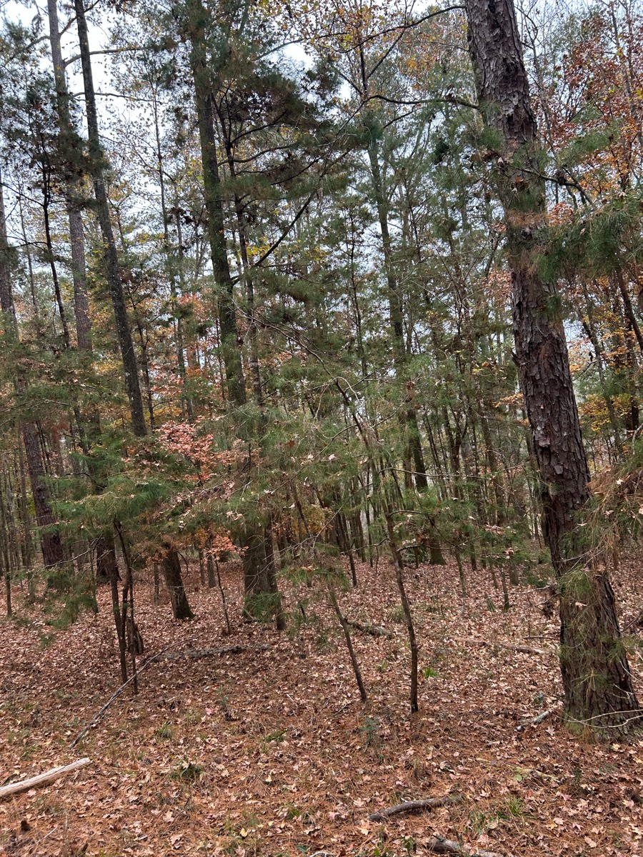
Mostly wooded forest trail
All road, mostly gravel


Trail around her house
Trail has some hills, fairly rocky and there are lots of stretches to trot and canter.
Some road some deep gullies good ride

Flat, trees, cement, multiuse
Around the lake from 726 Furr

Sandy, some hills, beautiful views. Partially shared with ATV
West loop only. It does share the trail with the bike trail twice for about 20 feet


Easy mostly wide trails. Cannot ride horses on the Bear Valley trail on weekends and holidays so plan accordingly


Sandy, baby grave, picnic table

Down parallel to Appleton road toward 273 bridge. Cross Telegraph and stay straight. turn R at yellow markers. Beautiful creek stop! Following the cart path can be a bit rocky. Lots of options to extend the ride.

Needs to be a faster ride to get to cookout in 1.5 hours.
Excellent footing, lots of critters. Need code for gate and bathroom. On 4/19/25 code was 2181. Ôøº

Up the ridge and back down. 3 mile 1 hour ride.
Beautiful trail around lake!


Mostly sugar sand trails. Piney flat woods. Not much shade so best to ride when it’s cool out.

Loop around pond to entrance

Lovely day amazing trail
Turned around at road to FR

Great trail! Beginner to advanced will have fun


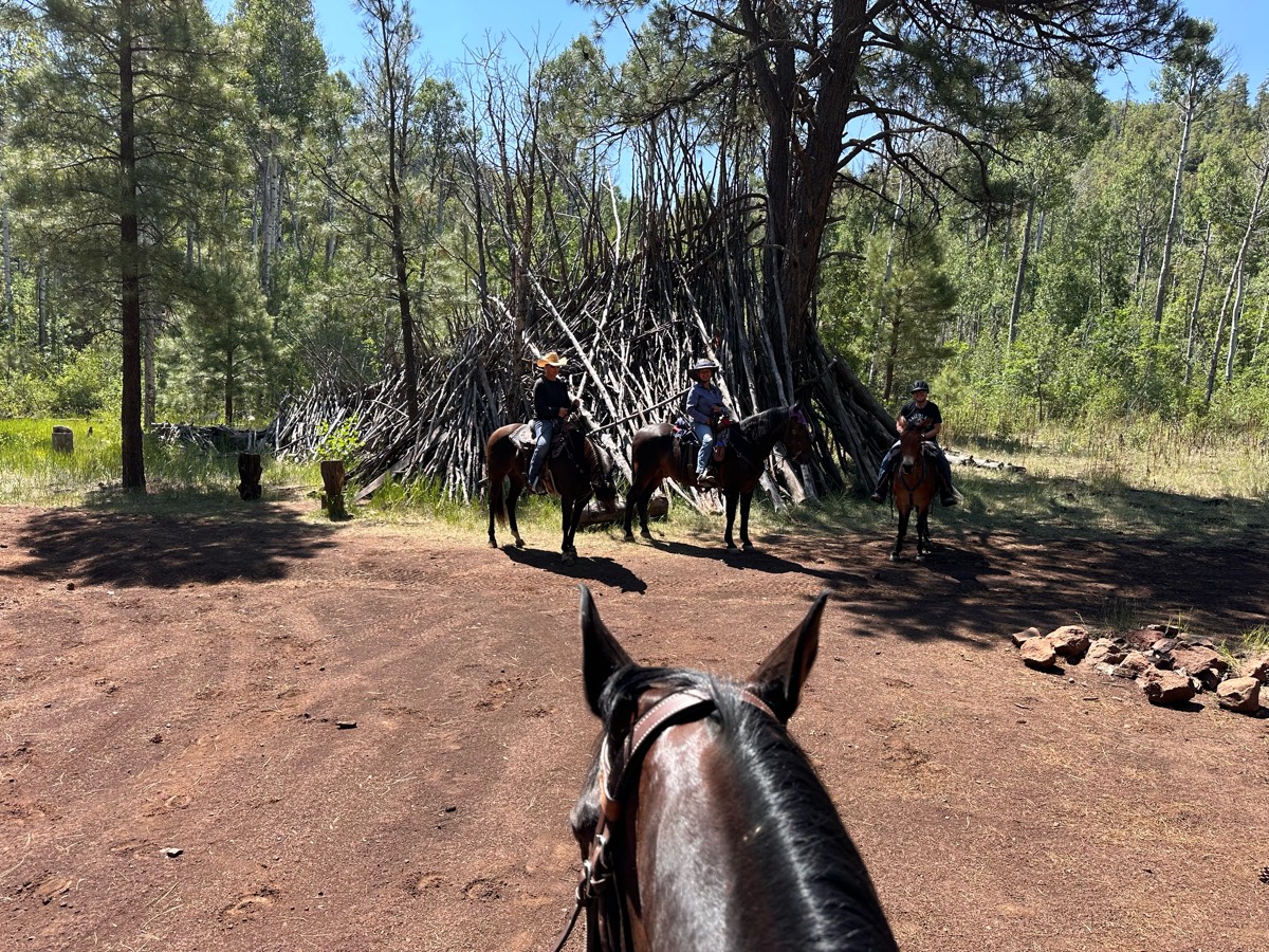
Mountainous trail system

Rocky so needs boots. Moderate terrain. Elevation
From Hickman Springs Bed and Barn

Riding sidewalk and trails

North Ridge to Ridge Vista Point to Big Leaf Trail. Great in all weather conditions due to wide, well-maintained trails. Creekside and Canyon trails closed to equestrians during rainy season. No dogs allowed
Cave to Big John to Rim rock- very rocky

All trails in the United States
Ready to explore the best equestrian trails in the United States? Equilab offers thousands of riding routes for scenic strolls, endurance training, and more. Discover verified trail maps to find the perfect path for your next adventure, and then track your ride – all using the world's best horse riding app.
FAQ about Equilab trails
You can explore these trails and many more within the Equilab app! Simply download the app onto your mobile device, create an account, and then head to the “Track” tab. There you can view thousands of trails to discover and ride.
No, Equilab empowers equestrians everywhere to discover and ride trails for free! By creating an account within the app (no payment needed), you will be able to see and ride all public trails. Our Premium subscription offers great additional features, which you can learn more about here.
You can control the visibility of any trails you create using Equilab by selecting different privacy options when saving the trails. If you choose to make a trail "Public", it will be visible here on our website and to anyone using the app. Private trails, on the other hand, are only visible to you and (if you're a Premium user) anyone you share them with. Note: If you rode on private property, we strongly recommend saving your trail as "Private".
Equilab’s list of trails currently only includes those that have been tracked by riders using the Equilab app. As a result, there are still many trails not yet included in our platform. Anyone can track trails and add them for free, however — giving you the chance to help others discover new places to ride!
Yes! You can add a trail from any ride you track using the Equilab app. To so, simply download the app, create an account, then record your ride on the trial.
Note that to create a trail, the ride must be at least 0.6 miles long, have taken at least 5 minutes, and must not have been tracked within an arena.
Our community members have added more than 35,000 public trails, and new ones are added every day. We hope you enjoy exploring them!

Contact our team
Feedback & Help
support@equilabapp.com
Press and Partnerships
marketing@equilabapp.com
Business Inquiries
admin@equilabapp.com


